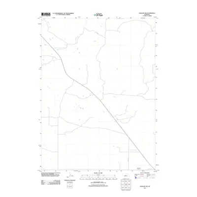
2011 Map of Anselmo NW
USGS Topo · Published 2011About this map
Rifle Creek meanders across this rural Nebraska landscape, defining the drainage patterns of this sparsely settled corner of Custer County. The map is dominated by a grid of section lines and local transit routes, including Min Main Rd, which serve the agricultural interior. In the southeast corner, the Grand View Cemetery sits along Cemetery Rd, providing a specific landmark for genealogists and local historians tracing family ties to the region. The map illustrates the contemporary road network and hydrological features of the Great Plains at the start of the 2010s, reflecting a landscape where human presence is centered on small cemeteries and a few critical rural corridors.
Find a feature on this map
4 named features on this map. Tap any name to fly to it.
Don’t see what you’re looking for? This feature index may not catch every label — zoom into the map to look around manually.
Map Details
Editions of this 2011 Anselmo NW Map
This is the sole edition of this map. No revisions or reprints were ever made.
Other maps of this area

1948 · Linscott
USGS Topo · 1:62,500

1950 · Linscott
USGS Topo · 1:62,500

1951 · Dunning
USGS Topo · 1:62,500

1951 · Anselmo
USGS Topo · 1:24,000

1951 · Anselmo SW
USGS Topo · 1:24,000

1951 · Anselmo NE
USGS Topo · 1:24,000

1951 · Anselmo NW
USGS Topo · 1:24,000

1952 · Brewster SE
USGS Topo · 1:24,000

1952 · Brewster SW
USGS Topo · 1:24,000

1954 · North Platte
USGS Topo · 1:250,000