
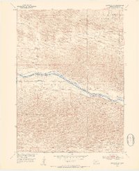
1952 Map of Brewster SW
USGS Topo · Published 1954About this map
The Middle Loup River winds through the heart of the Sandhills region in Blaine County, cutting a distinct path between several identified lowlands. The landscape is defined by the broad sweeps of Brewster Valley, Edith Valley, and Dunning Valley, which reveal the complex topography of this Nebraska interior. Evidence of early infrastructure and its subsequent evolution is visible along the riverbanks, where an Abandoned Canal and the Laughran Bridge provide specific points of reference for local historians.
Find a feature on this map
10 named features on this map. Tap any name to fly to it.
Don’t see what you’re looking for? This feature index may not catch every label — zoom into the map to look around manually.
Map Details
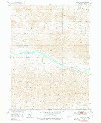
Editions of this 1952 Brewster SW Map
3 editions found
Other maps of this area

1948 · Linscott
USGS Topo · 1:62,500

1950 · Linscott
USGS Topo · 1:62,500

1951 · Dunning
USGS Topo · 1:62,500

1951 · Anselmo NE
USGS Topo · 1:24,000

1951 · Anselmo NW
USGS Topo · 1:24,000

1952 · Brewster
USGS Topo · 1:24,000

1952 · Brewster SE
USGS Topo · 1:24,000

1952 · Brewster NW
USGS Topo · 1:24,000

1954 · North Platte
USGS Topo · 1:250,000

1955 · Broken Bow
USGS Topo · 1:250,000