
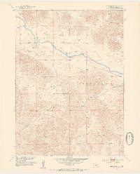
1952 Map of Brewster NW
USGS Topo · Published 1954About this map
North Loup River meanders through the heart of this mid-century landscape in Blaine County, Nebraska, cutting a green path through the sandy hills. The alluvial bottomlands of Hawley Flats dominate the central valley, where the small agricultural infrastructure of the early 1950s is concentrated. Rural life in the Sandhills is anchored by scattered landmarks such as School No 3 and the Pitt Bridge crossing, reflecting a era before modern consolidation changed the local school and road networks. The topographic detail, mapped as part of a Missouri River Basin development program, illustrates the isolation of this ranching country, where vital water sources like a lone Spring and numerous windmills are the primary indicators of human presence across the high Brewster and Dunning plateaus.
Find a feature on this map
9 named features on this map. Tap any name to fly to it.
Don’t see what you’re looking for? This feature index may not catch every label — zoom into the map to look around manually.
Map Details
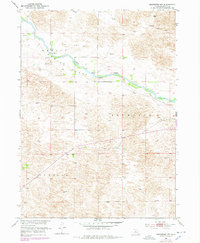
Editions of this 1952 Brewster NW Map
3 editions found
Other maps of this area

1949 · Koshopah
USGS Topo · 1:62,500

1951 · Dunning
USGS Topo · 1:62,500

1951 · Koshopah
USGS Topo · 1:62,500

1952 · Brewster
USGS Topo · 1:24,000

1952 · Brewster SE
USGS Topo · 1:24,000

1952 · Brewster SW
USGS Topo · 1:24,000

1954 · North Platte
USGS Topo · 1:250,000

1955 · Broken Bow
USGS Topo · 1:250,000

1955 · O'Neill
USGS Topo · 1:250,000

1956 · Broken Bow
USGS Topo · 1:250,000