
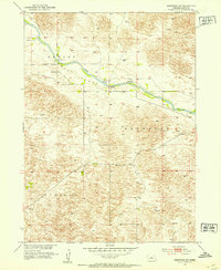
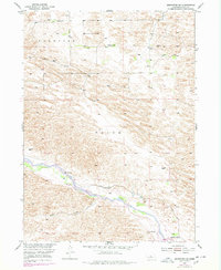
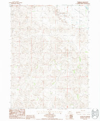
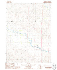
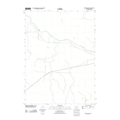
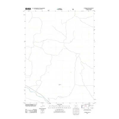
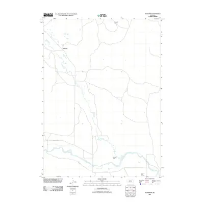
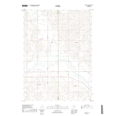
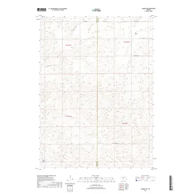
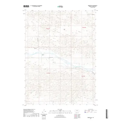
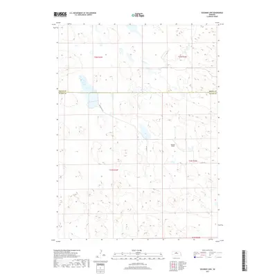
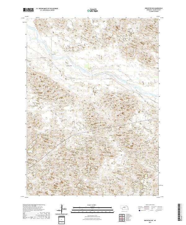
1952 Map of Brewster NW
USGS Topo · Published 1978About this map
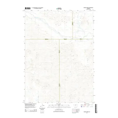
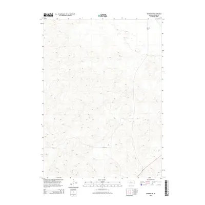
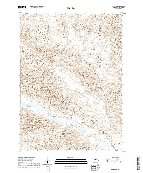
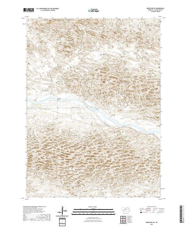
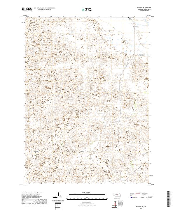
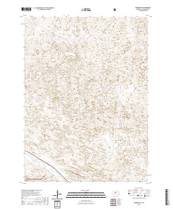
The North Loup River winds through the heart of this Sandhills landscape, flanked by the broad, level terrace of Hawley Flats. This 1952 survey, updated with revisions from the 1970s, captures a ranching environment where water and access dictated the placement of early infrastructure. Key crossing points like the Pitt Bridge and specialized aviation markers like the Landing Strip near the riverbank speak to the connectivity required in this part of Blaine County. Small-scale rural life is evidenced by the presence of School No 3, which served the scattered families of the district. The terrain is otherwise defined by numerous isolated Windmill sites and a natural Spring, illustrating the critical role of groundwater in sustaining the livestock operations that dominate the prairie of the Brewster and Dunning regions.
Find a feature on this map
14 named features on this map. Tap any name to fly to it.
Don’t see what you’re looking for? This feature index may not catch every label — zoom into the map to look around manually.
Map Details
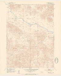
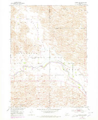
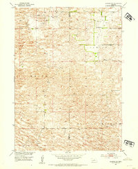
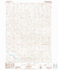
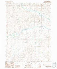
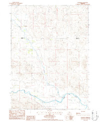
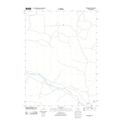
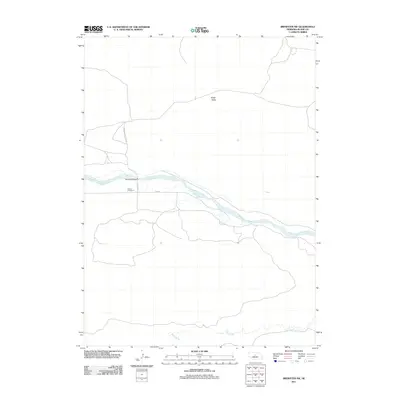
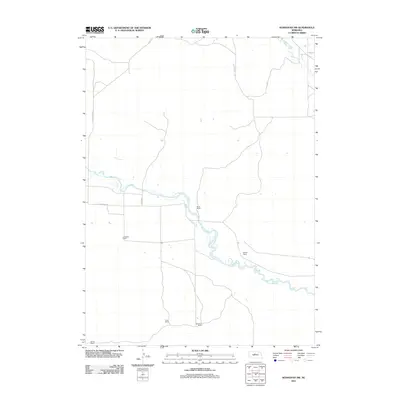
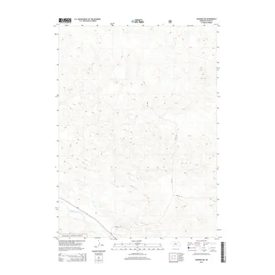
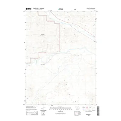
Editions of this 1952 Brewster NW Map
3 editions found
Historical Maps of Blaine County Through Time
65 maps found
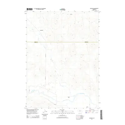
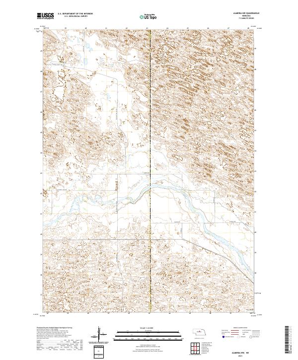
1952 Almeria NW
Blaine County, NE
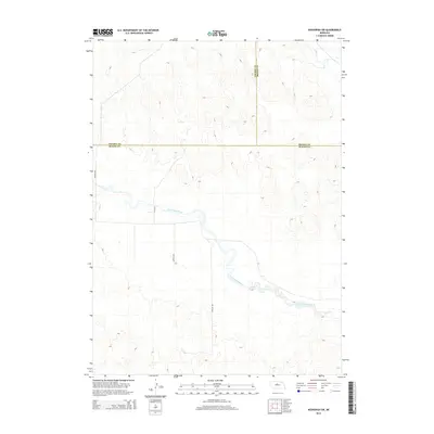
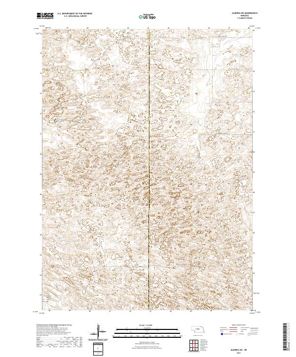
1952 Almeria SW
Blaine County, NE
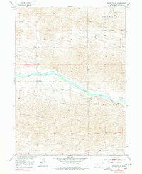
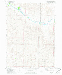
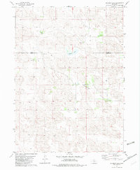
1952 Brewster NW
Blaine County, NE
1952 Brewster SE
Blaine County, NE
1952 Brewster SW
Blaine County, NE
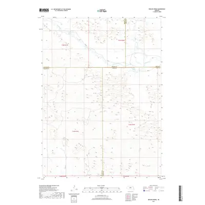
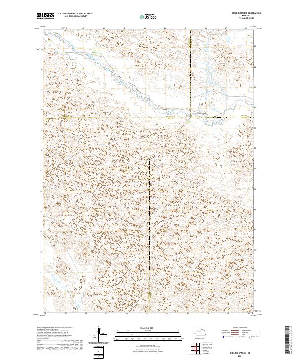
1981 Boiling Spring
Blaine County, NE
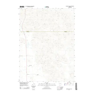
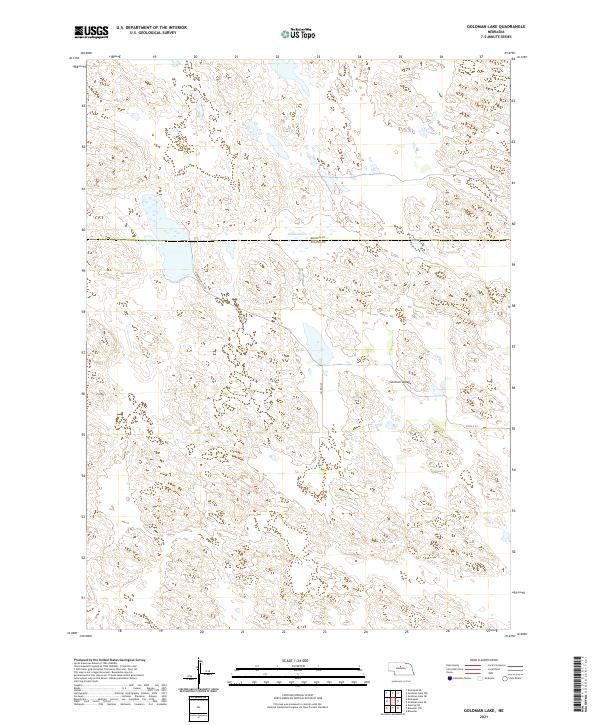
1982 Goldman Lake
Blaine County, NE

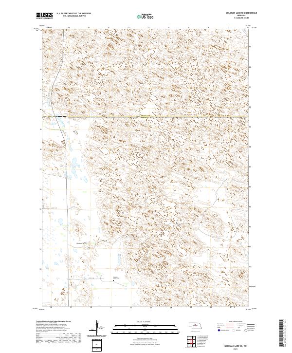
1982 Goldman Lake SE
Blaine County, NE
1986 Dunning NE
Blaine County, NE
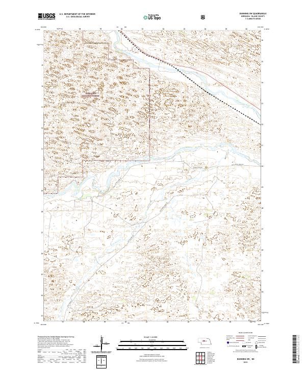
1986 Dunning NW
Blaine County, NE
1986 Dunning SW
Blaine County, NE
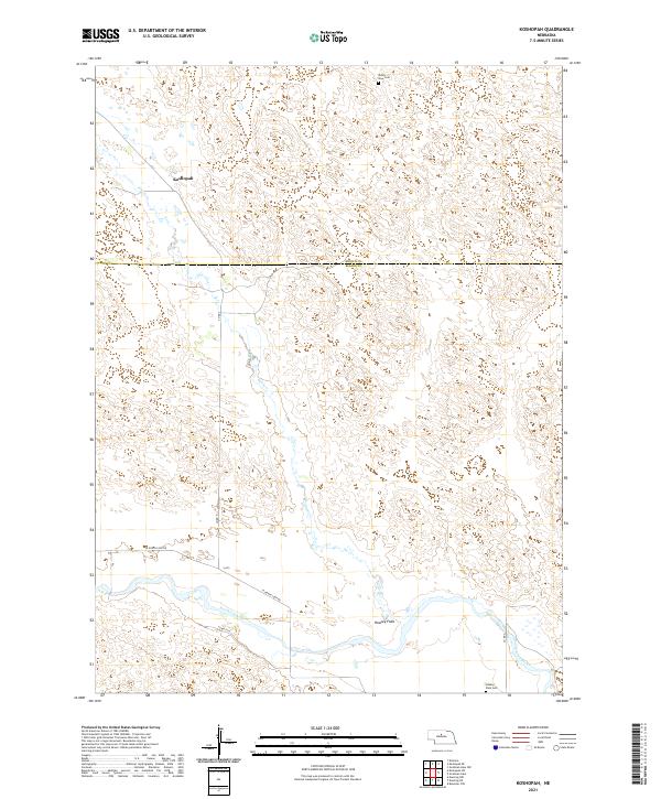
1986 Koshopah
Blaine County, NE
1986 Koshopah SW
Blaine County, NE
2011 Almeria NW
Blaine County, NE
2011 Almeria SW
Blaine County, NE
2011 Boiling Spring
Blaine County, NE
2011 Brewster NW
Blaine County, NE
2011 Brewster SE
Blaine County, NE
2011 Brewster SW
Blaine County, NE
2011 Dunning NE
Blaine County, NE
2011 Dunning NW
Blaine County, NE
2011 Dunning SW
Blaine County, NE
2011 Goldman Lake
Blaine County, NE
2011 Goldman Lake SE
Blaine County, NE
2011 Koshopah
Blaine County, NE
2011 Koshopah SW
Blaine County, NE
2014 Almeria NW
Blaine County, NE
2014 Almeria SW
Blaine County, NE
2014 Boiling Spring
Blaine County, NE
2014 Brewster NW
Blaine County, NE
2014 Brewster SE
Blaine County, NE
2014 Brewster SW
Blaine County, NE
2014 Dunning NE
Blaine County, NE
2014 Dunning NW
Blaine County, NE
2014 Dunning SW
Blaine County, NE
2014 Goldman Lake
Blaine County, NE
2014 Goldman Lake SE
Blaine County, NE
2014 Koshopah
Blaine County, NE
2014 Koshopah SW
Blaine County, NE
2017 Almeria NW
Blaine County, NE
2017 Almeria SW
Blaine County, NE
2017 Boiling Spring
Blaine County, NE
2017 Brewster NW
Blaine County, NE
2017 Brewster SE
Blaine County, NE
2017 Brewster SW
Blaine County, NE
2017 Dunning NE
Blaine County, NE
2017 Dunning NW
Blaine County, NE
2017 Dunning SW
Blaine County, NE
2017 Goldman Lake
Blaine County, NE
2017 Goldman Lake SE
Blaine County, NE
2017 Koshopah
Blaine County, NE
2017 Koshopah SW
Blaine County, NE
2021 Almeria NW
Blaine County, NE
2021 Almeria SW
Blaine County, NE
2021 Boiling Spring
Blaine County, NE
2021 Brewster NW
Blaine County, NE
2021 Brewster SE
Blaine County, NE
2021 Brewster SW
Blaine County, NE
2021 Dunning NE
Blaine County, NE
2021 Dunning NW
Blaine County, NE
2021 Dunning SW
Blaine County, NE
2021 Goldman Lake
Blaine County, NE
2021 Goldman Lake SE
Blaine County, NE
2021 Koshopah
Blaine County, NE
2021 Koshopah SW
Blaine County, NE