
1952 Map of Brewster
USGS Topo · Published 1954About this map
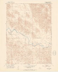
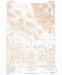
The North Loup River carves a distinct path through the Nebraska Sandhills in this mid-century survey of Blaine County. At its center lies the village of Brewster, serving as a vital hub for the surrounding ranching country. The map reveals the agrarian character of the region through established family operations like Burke Ranch, Niemoth Ranch, and Miller Ranch.
Find a feature on this map
10 named features on this map. Tap any name to fly to it.
Don’t see what you’re looking for? This feature index may not catch every label — zoom into the map to look around manually.
Map Details
Editions of this 1952 Brewster Map
3 editions found
Other maps of this area

1952 · Almeria NW
USGS Topo · 1:24,000

1952 · Almeria SW
USGS Topo · 1:24,000

1952 · Brewster SE
USGS Topo · 1:24,000

1952 · Brewster SW
USGS Topo · 1:24,000

1952 · Brewster NW
USGS Topo · 1:24,000

1955 · Broken Bow
USGS Topo · 1:250,000

1955 · O'Neill
USGS Topo · 1:250,000

1956 · Broken Bow
USGS Topo · 1:250,000

1959 · O'Neill
USGS Topo · 1:250,000

1969 · O'Neill
USGS Topo · 1:250,000