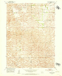
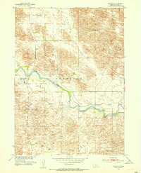
1952 Map of Almeria SW
USGS Topo · Published 1954About this map
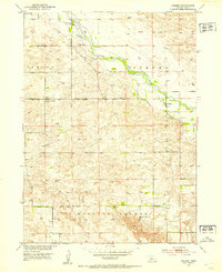
Dry Valley Sch serves as a lone community focal point in this 1952 study of the Nebraska Sandhills, where the landscape is defined by the high-density contour of sand dunes rather than dense township development. The map reveals a sparsely populated ranching territory divided by the Blaine and Loup county line, where settlement patterns are organized into broad local regions including Brewster, Sawyer, Edith, and Madison Square. This survey, conducted as part of the Missouri River Basin development program, provides a granular look at the unimproved roads and windmills that sustained the isolated homesteads of the mid-20th century. For the local historian, the map preserves the exact placement of early rural infrastructure and school district locations that have since transitioned as ranching operations consolidated.
Find a feature on this map
6 named features on this map. Tap any name to fly to it.
Don’t see what you’re looking for? This feature index may not catch every label — zoom into the map to look around manually.
Map Details
Editions of this 1952 Almeria SW Map
This is the sole edition of this map. No revisions or reprints were ever made.
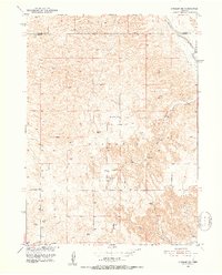
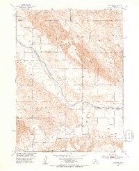
Other maps of this area
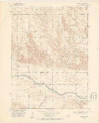
1951 · Walworth
USGS Topo · 1:24,000
1951 · Anselmo NE
USGS Topo · 1:24,000
1951 · Milburn
USGS Topo · 1:24,000
1952 · Brewster
USGS Topo · 1:24,000
1952 · Almeria NE
USGS Topo · 1:24,000
1952 · Almeria NW
USGS Topo · 1:24,000
1952 · Brewster SE
USGS Topo · 1:24,000
1952 · Almeria
USGS Topo · 1:24,000

1955 · Broken Bow
USGS Topo · 1:250,000

1956 · Broken Bow
USGS Topo · 1:250,000