
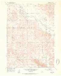
1952 Map of Almeria
USGS Topo · Published 1954About this map
The North Loup River valley dominates this 1950s survey of Loup County, revealing a rural landscape defined by decentralized schools and township districts. Settlement is anchored by Almeria, located along a bend in the river, while the surrounding tablelands and breaks are organized into the precincts of Sawyer, Strohl, and Madison Square. The map provides significant genealogical value, documenting numerous rural education sites including Liberty Sch, Knobby Ridge Sch, and Madison Square Sch. Local civic life is further marked by the Town Hall in Madison Square and several family or community burial grounds such as Moulton Cem and Almeria Cem. An Abandoned Canal running parallel to the river suggests earlier attempts at water management or irrigation in this portion of the Missouri River Basin during the mid-twentieth century.
Find a feature on this map
15 named features on this map. Tap any name to fly to it.
Don’t see what you’re looking for? This feature index may not catch every label — zoom into the map to look around manually.
Map Details
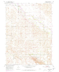
Editions of this 1952 Almeria Map
3 editions found
Other maps of this area

1951 · Walworth
USGS Topo · 1:24,000

1951 · Milburn
USGS Topo · 1:24,000

1952 · Taylor NW
USGS Topo · 1:24,000

1952 · Almeria NE
USGS Topo · 1:24,000

1952 · Sargent West
USGS Topo · 1:24,000

1952 · Almeria NW
USGS Topo · 1:24,000

1952 · Almeria SW
USGS Topo · 1:24,000

1952 · Taylor
USGS Topo · 1:24,000

1955 · Broken Bow
USGS Topo · 1:250,000

1956 · Broken Bow
USGS Topo · 1:250,000