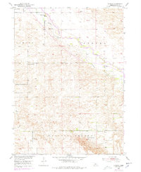
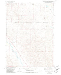
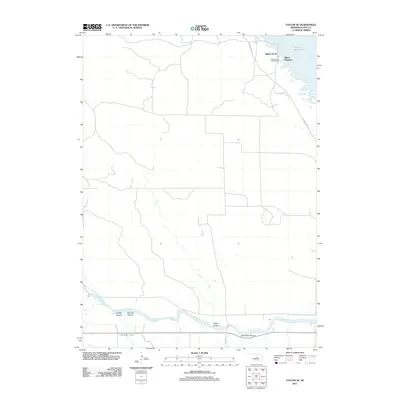
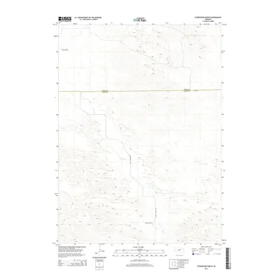
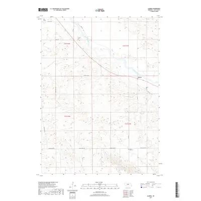
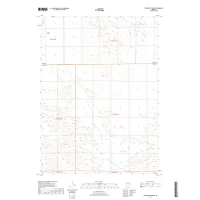
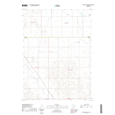
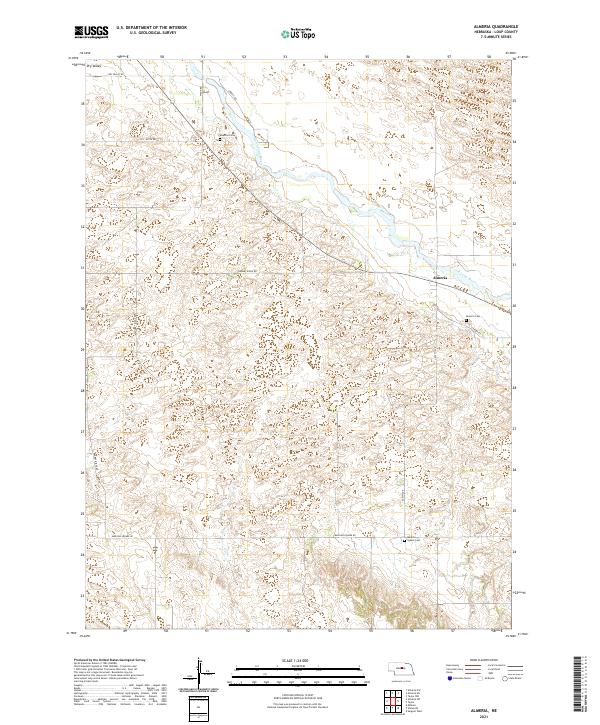
1952 Map of Almeria
USGS Topo · Published 1978About this map
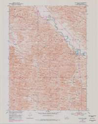
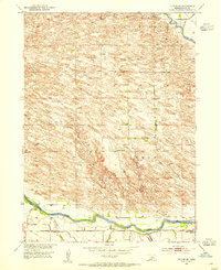
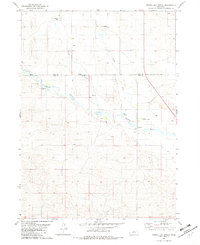
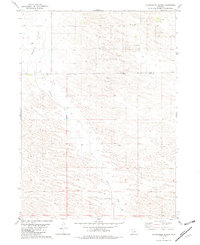
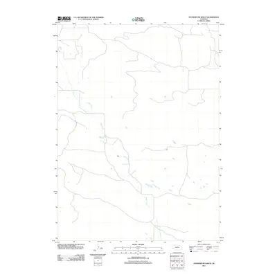
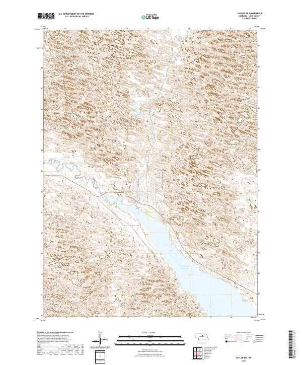
The North Loup River winds through this Nebraska landscape, defining a valley characterized by rural townships like Sawyer, Strohl, and Madison Square. By the early 1950s, the small settlement of Almeria served as a local hub, supported by the nearby Almeria Cem and a Canal system diverted from the river. This survey captures a transition in rural education and civic life, documenting several country schools including Liberty Sch, Knobby Ridge Sch, and Madison Square Sch alongside a central Town Hall. For genealogists, the map is particularly valuable for locating family plots in scattered burial grounds like Moulton Cem and Madison Square Cem. The inclusion of a Landing Strip near Dry Valley reflects the early post-war integration of aviation into the Great Plains agricultural landscape.
Find a feature on this map
16 named features on this map. Tap any name to fly to it.
Don’t see what you’re looking for? This feature index may not catch every label — zoom into the map to look around manually.
Map Details
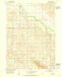
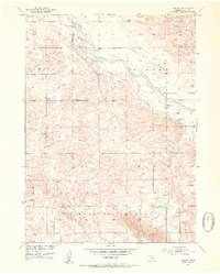
Editions of this 1952 Almeria Map
3 editions found
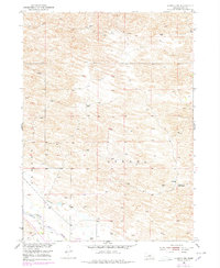
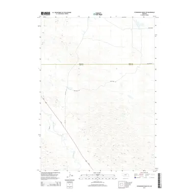
Historical Maps of Almeria Through Time
40 maps found
1952 Almeria
Loup County, NE
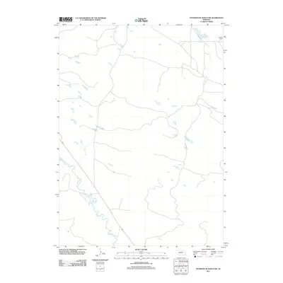
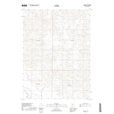
1952 Almeria NE
Loup County, NE

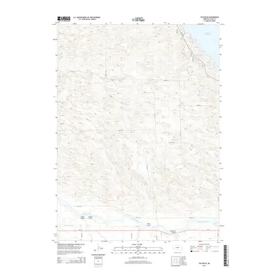
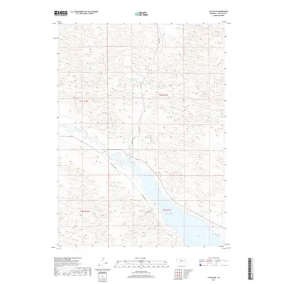
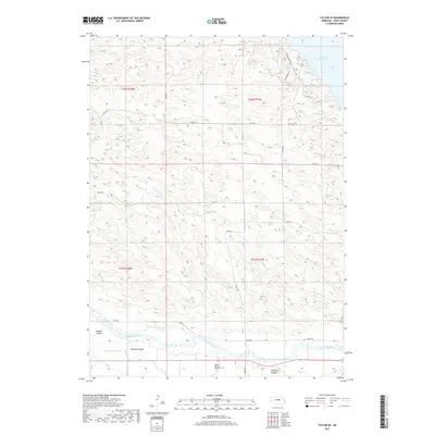
1952 Taylor NE
Loup County, NE
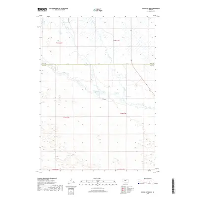
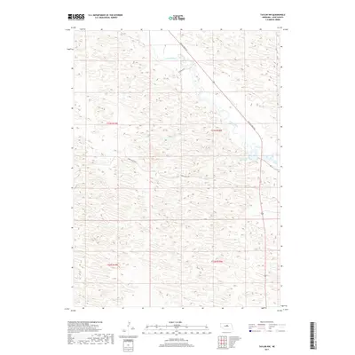
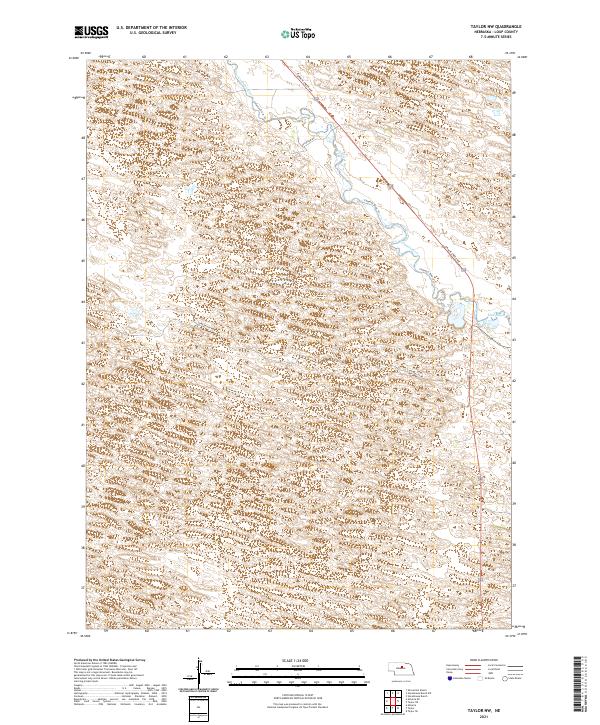
1952 Taylor NW
Loup County, NE
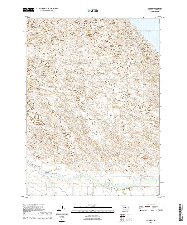
1952 Taylor SE
Loup County, NE
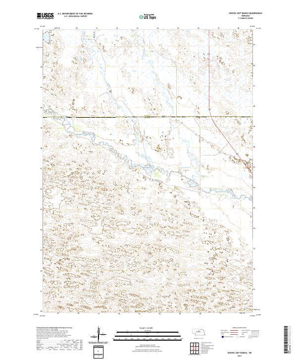
1981 Shovel Dot Ranch
Loup County, NE
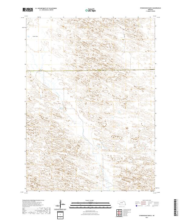
1981 Stonehouse Ranch
Loup County, NE
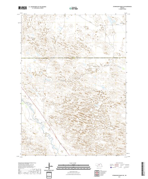
1981 Stonehouse Ranch SW
Loup County, NE
2011 Almeria
Loup County, NE
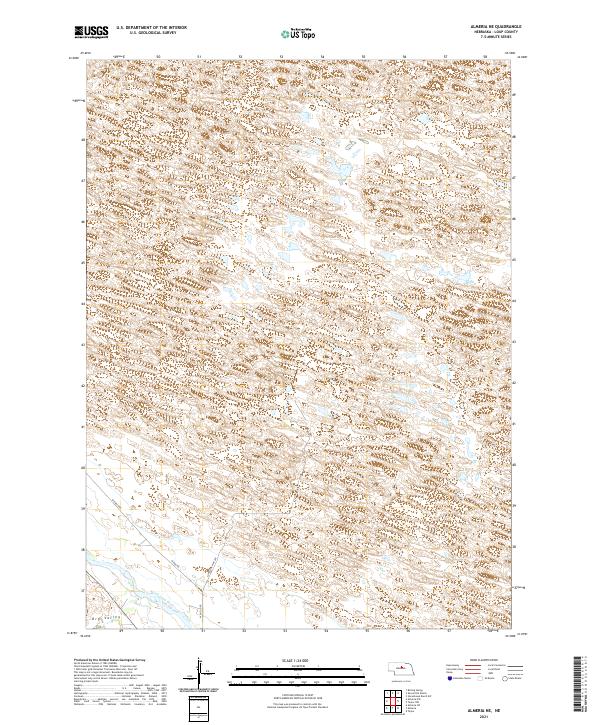
2011 Almeria NE
Loup County, NE
2011 Shovel Dot Ranch
Loup County, NE
2011 Stonehouse Ranch
Loup County, NE
2011 Stonehouse Ranch SW
Loup County, NE
2011 Taylor NE
Loup County, NE
2011 Taylor NW
Loup County, NE
2011 Taylor SE
Loup County, NE
2014 Almeria
Loup County, NE
2014 Almeria NE
Loup County, NE
2014 Shovel Dot Ranch
Loup County, NE
2014 Stonehouse Ranch
Loup County, NE
2014 Stonehouse Ranch SW
Loup County, NE
2014 Taylor NE
Loup County, NE
2014 Taylor NW
Loup County, NE
2014 Taylor SE
Loup County, NE
2017 Almeria
Loup County, NE
2017 Almeria NE
Loup County, NE
2017 Shovel Dot Ranch
Loup County, NE
2017 Stonehouse Ranch
Loup County, NE
2017 Stonehouse Ranch SW
Loup County, NE
2017 Taylor NE
Loup County, NE
2017 Taylor NW
Loup County, NE
2017 Taylor SE
Loup County, NE
2021 Almeria
Loup County, NE
2021 Almeria NE
Loup County, NE
2021 Shovel Dot Ranch
Loup County, NE
2021 Stonehouse Ranch
Loup County, NE
2021 Stonehouse Ranch SW
Loup County, NE
2021 Taylor NE
Loup County, NE
2021 Taylor NW
Loup County, NE
2021 Taylor SE
Loup County, NE