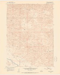
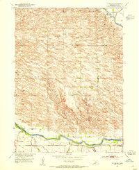
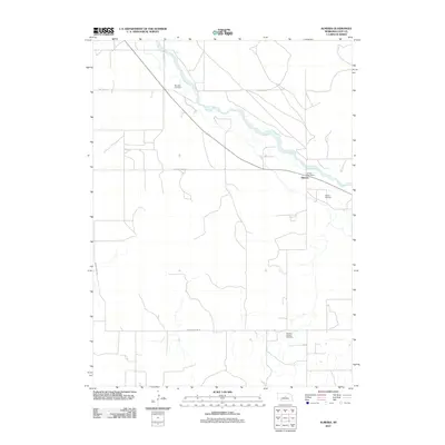
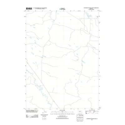
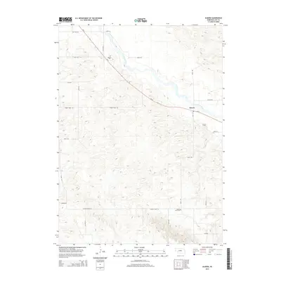
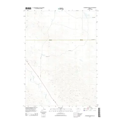
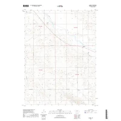
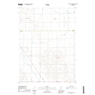
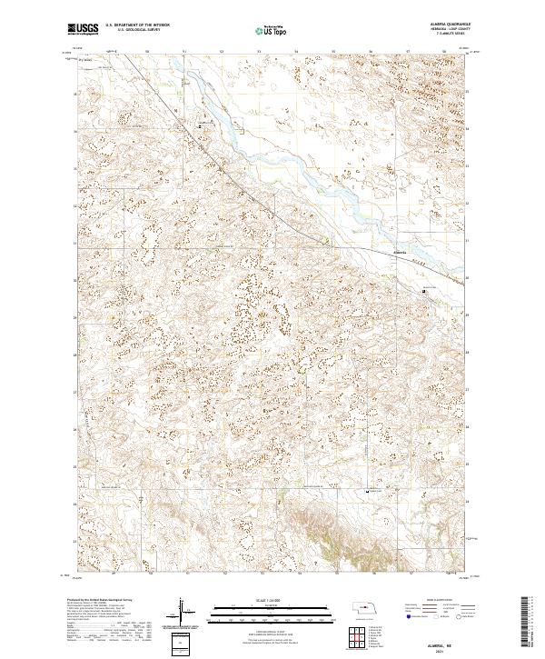
1952 Map of Almeria NE
USGS Topo · Published 1954About this map
The North Loup River meanders through the southern portion of this mid-century Loup County landscape, where evidence of early water management is found in a prominent Abandoned Canal. This irrigation effort, traced alongside the riverbank, suggests an era of transition in agricultural practices across the Dry Valley. The terrain is marked by isolated Windmills, essential infrastructure for ranching in this interior Nebraska region during the early 1950s.
Find a feature on this map
10 named features on this map. Tap any name to fly to it.
Don’t see what you’re looking for? This feature index may not catch every label — zoom into the map to look around manually.
Map Details
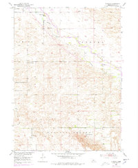
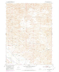
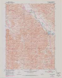
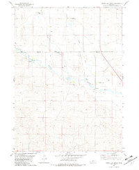
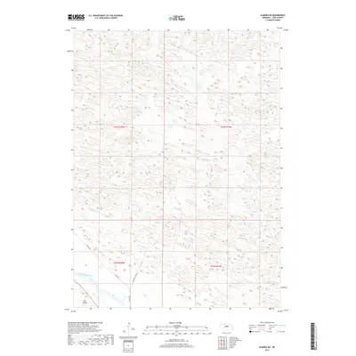
Editions of this 1952 Almeria NE Map
3 editions found

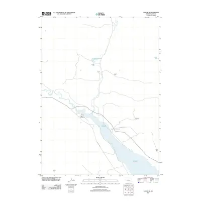
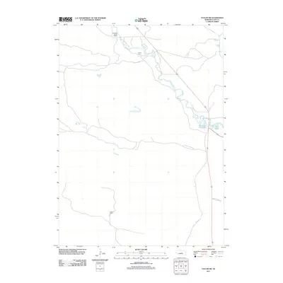
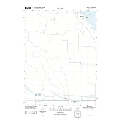
Historical Maps of Loup County Through Time
40 maps found
1952 Almeria
Loup County, NE
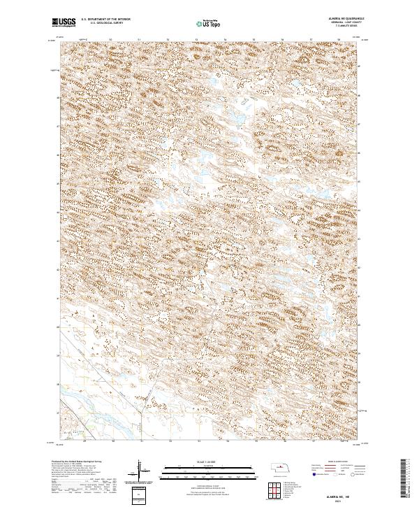
1952 Almeria NE
Loup County, NE

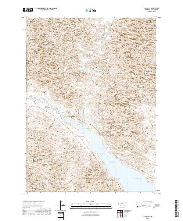
1952 Taylor NE
Loup County, NE
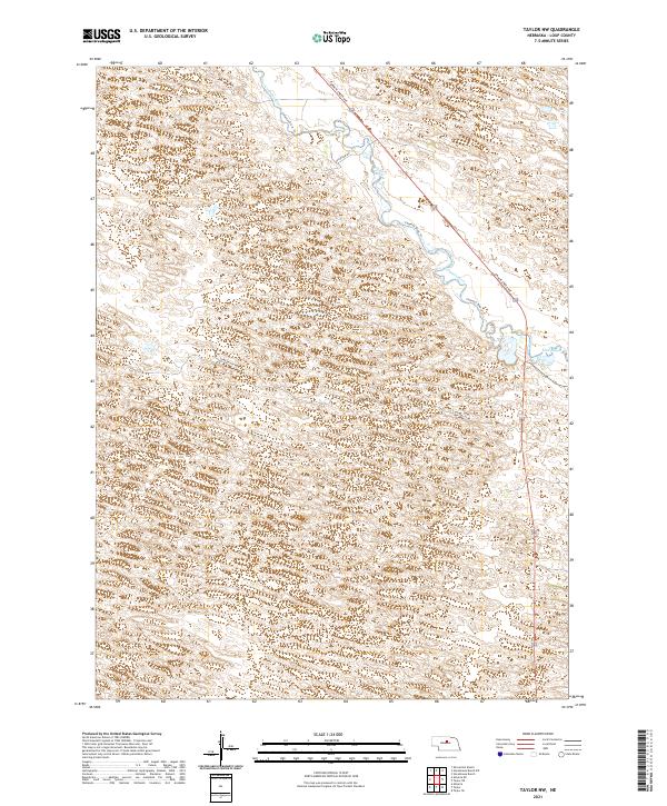
1952 Taylor NW
Loup County, NE
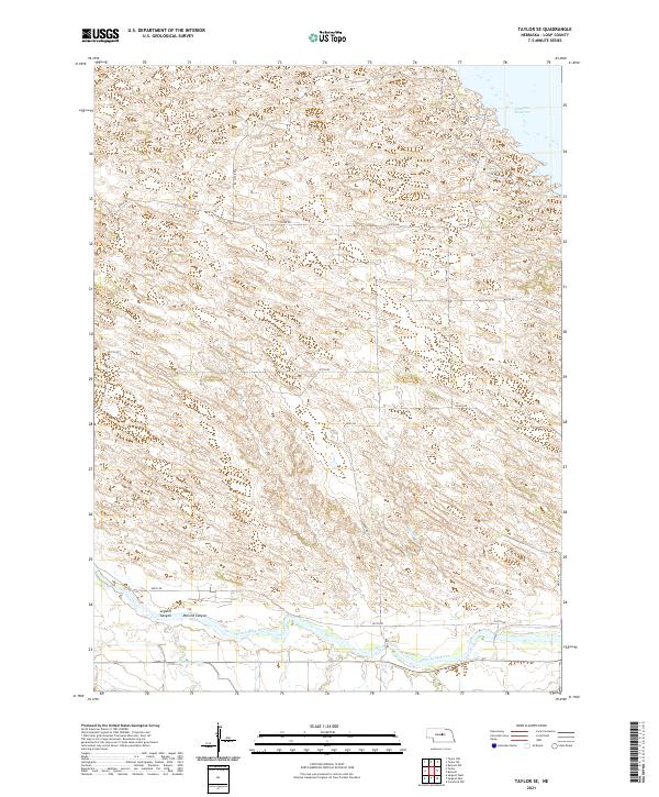
1952 Taylor SE
Loup County, NE
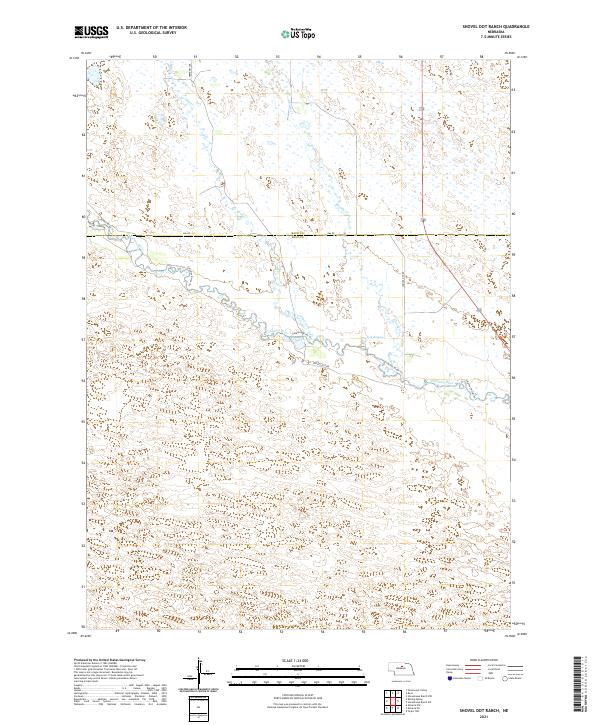
1981 Shovel Dot Ranch
Loup County, NE
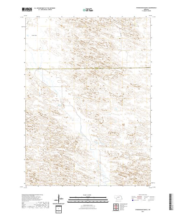
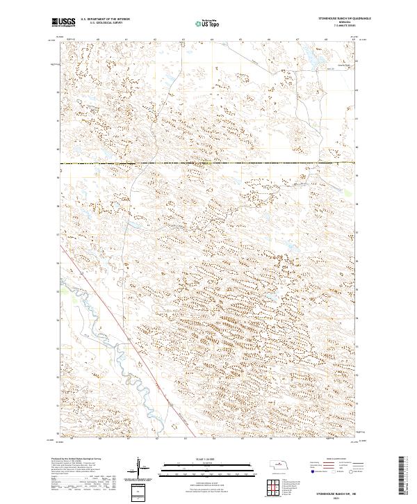
1981 Stonehouse Ranch
Loup County, NE
1981 Stonehouse Ranch SW
Loup County, NE
2011 Almeria
Loup County, NE
2011 Almeria NE
Loup County, NE
2011 Shovel Dot Ranch
Loup County, NE
2011 Stonehouse Ranch
Loup County, NE
2011 Stonehouse Ranch SW
Loup County, NE
2011 Taylor NE
Loup County, NE
2011 Taylor NW
Loup County, NE
2011 Taylor SE
Loup County, NE
2014 Almeria
Loup County, NE
2014 Almeria NE
Loup County, NE
2014 Shovel Dot Ranch
Loup County, NE
2014 Stonehouse Ranch
Loup County, NE
2014 Stonehouse Ranch SW
Loup County, NE
2014 Taylor NE
Loup County, NE
2014 Taylor NW
Loup County, NE
2014 Taylor SE
Loup County, NE
2017 Almeria
Loup County, NE
2017 Almeria NE
Loup County, NE
2017 Shovel Dot Ranch
Loup County, NE
2017 Stonehouse Ranch
Loup County, NE
2017 Stonehouse Ranch SW
Loup County, NE
2017 Taylor NE
Loup County, NE
2017 Taylor NW
Loup County, NE
2017 Taylor SE
Loup County, NE
2021 Almeria
Loup County, NE
2021 Almeria NE
Loup County, NE
2021 Shovel Dot Ranch
Loup County, NE
2021 Stonehouse Ranch
Loup County, NE
2021 Stonehouse Ranch SW
Loup County, NE
2021 Taylor NE
Loup County, NE
2021 Taylor NW
Loup County, NE
2021 Taylor SE
Loup County, NE