
1951 Map of Milburn
USGS Topo · Published 1953About this map
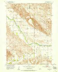
The Middle Loup River carves a diagonal path through this Custer County landscape, defining the character of the settlements and terrain in the early 1950s. The small village of Milburn sits nestled near the river valley, while the community of Gates occupies the southeastern corner. The map documents a rural education network that was still very active at mid-century, specifically marking the Columbia Table Sch and Bell Sch.
Find a feature on this map
22 named features on this map. Tap any name to fly to it.
Don’t see what you’re looking for? This feature index may not catch every label — zoom into the map to look around manually.
Map Details
Editions of this 1951 Milburn Map
3 editions found
Other maps of this area

1951 · Lillian
USGS Topo · 1:24,000

1951 · Anselmo
USGS Topo · 1:24,000

1951 · Walworth
USGS Topo · 1:24,000

1951 · Anselmo NE
USGS Topo · 1:24,000

1951 · Round Valley
USGS Topo · 1:24,000

1952 · Almeria SW
USGS Topo · 1:24,000

1952 · Brewster SE
USGS Topo · 1:24,000

1952 · Almeria
USGS Topo · 1:24,000

1955 · Broken Bow
USGS Topo · 1:250,000

1956 · Broken Bow
USGS Topo · 1:250,000