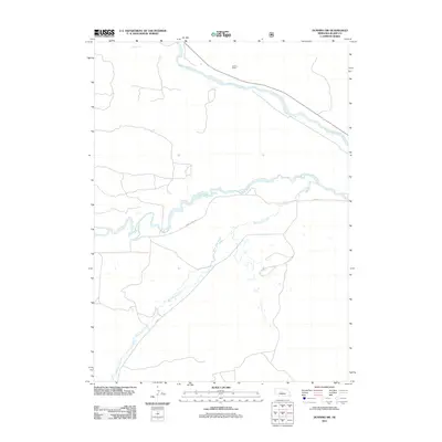
2011 Map of Dunning SW
USGS Topo · Published 2011About this map
Teahon Ranch sits in the northern reaches of this Blaine County landscape, where the Middle Loup River meanders across the Sandhills. The area is defined by its sparse settlement and significant waterways, including the winding Dismal River which cuts through the central portion of the sheet. Transportation is limited to rugged routes like Dismal River Rd and Co Rd-3, which follow the natural drainage patterns of the terrain. The presence of Wild Horse Creek feeding into the river system illustrates the hydrologic network essential to ranching in this part of Nebraska. This 2011 survey provides a clear view of the rural infrastructure and land use, documenting the enduring isolation and cattle-country character of the region during the early 21st century.
Find a feature on this map
6 named features on this map. Tap any name to fly to it.
Don’t see what you’re looking for? This feature index may not catch every label — zoom into the map to look around manually.
Map Details
Editions of this 2011 Dunning SW Map
This is the sole edition of this map. No revisions or reprints were ever made.
Other maps of this area

1948 · Linscott
USGS Topo · 1:62,500

1948 · Halsey
USGS Topo · 1:62,500

1950 · Linscott
USGS Topo · 1:62,500

1950 · Halsey
USGS Topo · 1:62,500

1951 · Dunning
USGS Topo · 1:62,500

1951 · Hoagland
USGS Topo · 1:62,500

1954 · North Platte
USGS Topo · 1:250,000

1956 · North Platte
USGS Topo · 1:250,000

1957 · North Platte
USGS Topo · 1:250,000

1967 · North Platte
USGS Topo · 1:250,000