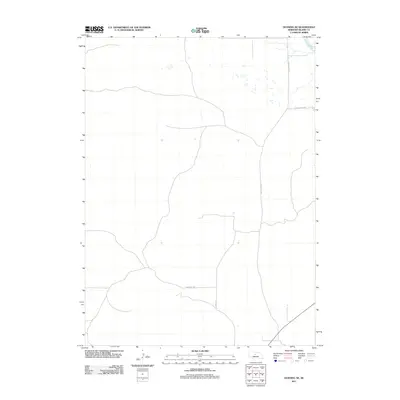
2011 Map of Dunning NE
USGS Topo · Published 2011About this map
The North Loup River winds through the northeast corner of this Blaine County landscape, representing a vital water source in an otherwise high-plains environment. This 2011 survey illustrates the sparse infrastructure of the region, where travel is defined by long thoroughfares like Sandhills Dr and Holly Flats Rd. The map provides a clear look at the rural section lines and the remote road network, including Co Rd 6-22 and N Loup River Rd, that services the area's agricultural and ranching tracts. The terrain is characterized by the distinct topography of the Nebraska Sandhills, showing the isolated nature of the country before it reaches more established settlements.
Find a feature on this map
5 named features on this map. Tap any name to fly to it.
Don’t see what you’re looking for? This feature index may not catch every label — zoom into the map to look around manually.
Map Details
Editions of this 2011 Dunning NE Map
This is the sole edition of this map. No revisions or reprints were ever made.
Other maps of this area

1949 · Koshopah
USGS Topo · 1:62,500

1951 · Dunning
USGS Topo · 1:62,500

1951 · Koshopah
USGS Topo · 1:62,500

1952 · Brewster SW
USGS Topo · 1:24,000

1952 · Brewster NW
USGS Topo · 1:24,000

1954 · North Platte
USGS Topo · 1:250,000

1955 · Broken Bow
USGS Topo · 1:250,000

1955 · O'Neill
USGS Topo · 1:250,000

1956 · Broken Bow
USGS Topo · 1:250,000

1956 · North Platte
USGS Topo · 1:250,000