2000s (21st Century) Maps of Gibbon, Nebraska
Explore 8 historic maps of Gibbon from the 2000s (21st Century). These maps offer a rare glimpse into what life looked like during the 2000s — showing old roads, neighborhoods, homes, and landmarks that have changed or disappeared over time.
Whether you're researching your family's past, planning a metal detecting trip, or studying how Gibbon's landscape evolved across the 2000s, these high-resolution maps are a powerful tool for exploring the history of this region.
- Focus on a specific era: All maps on this page are from the 2000s, giving you a focused view of this time period.
- See what’s changed: Compare century-old streets, trails, and buildings to today's modern landscape using overlays and satellite layers.
- Research with precision: Use these maps for genealogy, historical research, land use analysis, or educational projects.
- View, download, or print: Maps are fully viewable online in high resolution, and can be downloaded or printed for your own records.
Start exploring Gibbon's history through authentic maps from the 2000s. This is your window into the past.
Gibbon, NE maps
(8)- 2011 Map of Gibbon North, 2011 Print
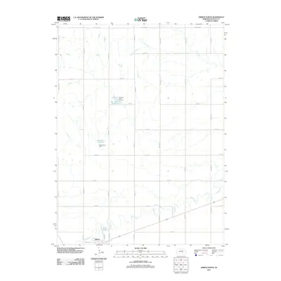 2011 Gibbon North2011 Print · USGSCovers Gibbon, including Buffalo County, United States, and other nearby areas
 - 2011 Map of Gibbon South, 2011 Print
 2011 Gibbon South2011 Print · USGSCovers Gibbon, including Lowell, Sun Valley Trailer Court, and other nearby areas
 - 2014 Map of Gibbon South, 2014 Print
 2014 Gibbon South2014 Print · USGSCovers Gibbon, including Lowell, Sun Valley Trailer Court, and other nearby areas
 - 2014 Map of Gibbon North, 2014 Print
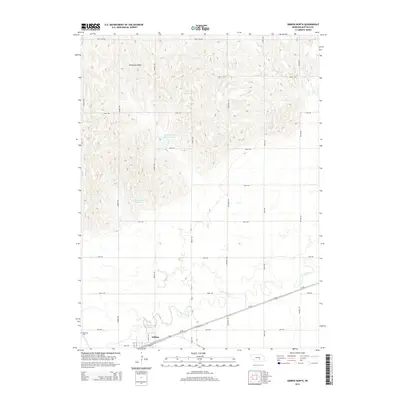 2014 Gibbon North2014 Print · USGSCovers Gibbon, including Buffalo County, United States, and other nearby areas
 - 2017 Map of Gibbon South, 2017 Print
 2017 Gibbon South2017 Print · USGSCovers Gibbon, including Lowell, Sun Valley Trailer Court, and other nearby areas
 - 2017 Map of Gibbon North, 2017 Print
 2017 Gibbon North2017 Print · USGSCovers Gibbon, including Buffalo County, United States, and other nearby areas
 - 2021 Map of Gibbon North, 2021 Print
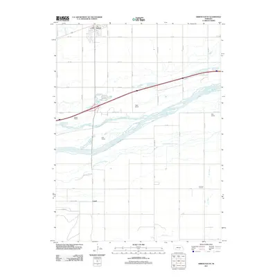
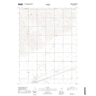
 2021 Gibbon North2021 Print · USGSBuffalo County agriculture and water management are the focus of this contemporary look at the area north of the Wood River. Researchers can trace local landmarks like the Rhoadarmer Reservoir and follow the street grid through Gibbon along Front St.
 - 2021 Map of Gibbon South, 2021 Print
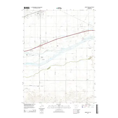
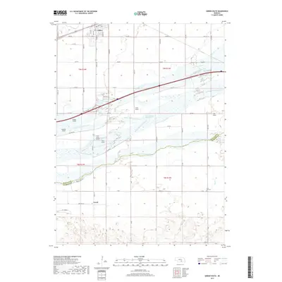
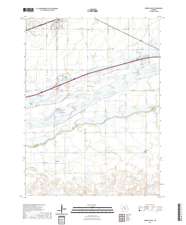 2021 Gibbon South2021 Print · USGSThe braided Platte River valley comes into sharp focus during the early 2020s, revealing how its multiple channels shaped local Nebraska life. Genealogists and researchers can trace family landmarks like Saint Paul Cem and the rail-side settlement of Gibbon.
End of results
Showing maps 1-8 of 8
Top cities near Gibbon
- Kearney historical maps
- Shelton historical maps
- Kenesaw historical maps
- Newark historical maps
- Lowell historical maps
- Heartwell historical maps
Top neighborhoods of Gibbon
Frequently asked questions
- What are the different types of historical maps available for Gibbon?
- What is the oldest map of Gibbon?
- Where can I purchase historical maps of Gibbon for my home or office?
- Where can I download high-res historical maps of Gibbon?
- Are there historical topographic maps available for Gibbon?
- Is there historical aerial imagery available for Gibbon?
- Where are historical maps of Gibbon sourced from?