1970s Maps of Cedar County, Nebraska
Explore 7 historic maps of Cedar County from the 1970s. These maps offer a rare glimpse into what life looked like during the 1970s — showing old roads, neighborhoods, homes, and landmarks that have changed or disappeared over time.
Whether you're researching your family's past, planning a metal detecting trip, or studying how Cedar County's landscape evolved across the 1970s, these high-resolution maps are a powerful tool for exploring the history of this region.
- Focus on a specific era: All maps on this page are from the 1970s, giving you a focused view of this time period.
- See what’s changed: Compare century-old streets, trails, and buildings to today's modern landscape using overlays and satellite layers.
- Research with precision: Use these maps for genealogy, historical research, land use analysis, or educational projects.
- View, download, or print: Maps are fully viewable online in high resolution, and can be downloaded or printed for your own records.
Start exploring Cedar County's history through authentic maps from the 1970s. This is your window into the past.
Cedar County, NE maps
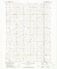
(7)- 1971 Map of Laurel, 1973 Print
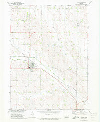 1971 Laurel1973 Print · USGSNortheastern Nebraska agricultural lands are captured here in the early seventies as the rail lines still converged at Laurel. Genealogists and local historians can locate rural landmarks like Golden Prairie Sch, Logan Center Ch, and the Laurel Cem.
 - 1971 Map of Belden, 1973 Print
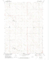
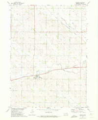 1971 Belden1973 Print · USGSThe village of Belden and the surrounding Nebraska farmland are captured here in the early 1970s. Trace the paths of the Burlington Northern railroad or locate local landmarks like the Morning Glory Sch and Rabdaul Park.
 - 1971 Map of Randolph South, 1973 Print
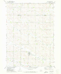
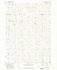 1971 Randolph South1973 Print · USGSIn the early 1970s, this area of Northeast Nebraska was a landscape of structured farmsteads and shifting rail history. Researchers can trace the Old Railroad Grade near Sholes or locate rural family landmarks like Bethany Ch and Zion Ch.
 - 1971 Map of Randolph North, 1973 Print
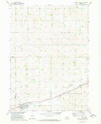 1971 Randolph North1973 Print · USGSThe northern environs of Randolph are captured in the early seventies, showing a landscape defined by the Burlington Northern railroad. Researchers can trace the Old RR Grade and locate family burial sites at St Frances Cem.
 - 1971 Map of Laurel SE, 1973 Print
 1971 Laurel SE1973 Print · USGSThe tri-county boundary of Wayne, Cedar, and Dixon counties is shown in the early 1970s, capturing a traditional Nebraska farming landscape. Researchers can trace the Old RR Grade and locate rural landmarks like Mount Hope Cem and Sunny Slope Sch.
 - 1971 Map of Magnet, 1973 Print
 1971 Magnet1973 Print · USGSThe rural borderlands of Cedar, Knox, and Pierce Counties are captured here in the early 1970s. Genealogists and historians can trace the Burlington Northern line through McLean, locate the Magnet Cem, and follow an Old Railroad Grade.
 - 1971 Map of Carroll, 1973 Print
 1971 Carroll1973 Print · USGSThe town of Carroll and the surrounding farmland of Wayne and Cedar Counties are captured here in the early 1970s. Local researchers can trace the path of the Old Deer Railroad Grade and locate landmarks like Elmwood Cem and the Sunshine Sch.
End of results
Showing maps 1-7 of 7
Top cities of Cedar County
Frequently asked questions
- What are the different types of historical maps available for Cedar County?
- What is the oldest map of Cedar County?
- Where can I purchase historical maps of Cedar County for my home or office?
- Where can I download high-res historical maps of Cedar County?
- Are there historical topographic maps available for Cedar County?
- Is there historical aerial imagery available for Cedar County?
- Where are historical maps of Cedar County sourced from?