2000s (21st Century) Maps of Precinct 11, Nebraska
Explore 8 historic maps of Precinct 11 from the 2000s (21st Century). These maps offer a rare glimpse into what life looked like during the 2000s — showing old roads, neighborhoods, homes, and landmarks that have changed or disappeared over time.
Whether you're researching your family's past, planning a metal detecting trip, or studying how Precinct 11's landscape evolved across the 2000s, these high-resolution maps are a powerful tool for exploring the history of this region.
- Focus on a specific era: All maps on this page are from the 2000s, giving you a focused view of this time period.
- See what’s changed: Compare century-old streets, trails, and buildings to today's modern landscape using overlays and satellite layers.
- Research with precision: Use these maps for genealogy, historical research, land use analysis, or educational projects.
- View, download, or print: Maps are fully viewable online in high resolution, and can be downloaded or printed for your own records.
Start exploring Precinct 11's history through authentic maps from the 2000s. This is your window into the past.
Precinct 11, NE maps
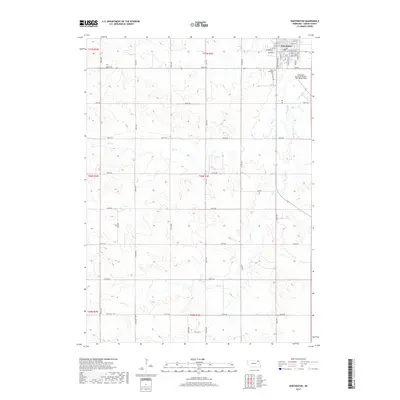
(8)- 2011 Map of Hartington SW, 2011 Print
 2011 Hartington SW2011 Print · USGSCovers Precinct 11, including Pleasant Valley, Precinct 10, and other nearby areas
 - 2011 Map of Hartington, 2011 Print
 2011 Hartington2011 Print · USGSCovers Precinct 11, including Hartington, Precinct 12, and other nearby areas
 - 2014 Map of Hartington SW, 2014 Print
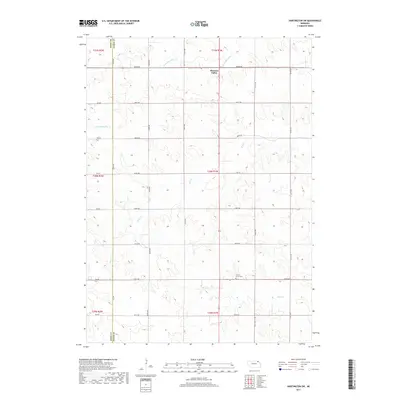
 2014 Hartington SW2014 Print · USGSCovers Precinct 11, including Pleasant Valley, Precinct 10, and other nearby areas
 - 2014 Map of Hartington, 2014 Print
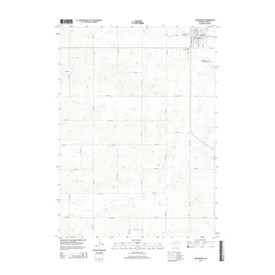 2014 Hartington2014 Print · USGSCovers Precinct 11, including Hartington, Precinct 12, and other nearby areas
 - 2017 Map of Hartington, 2017 Print
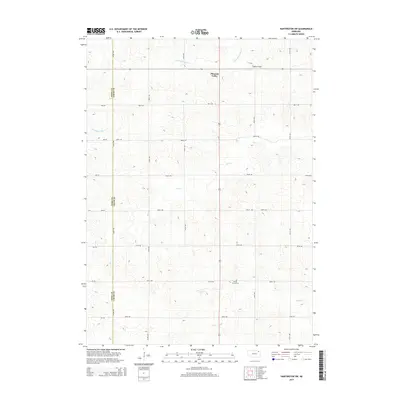
 2017 Hartington2017 Print · USGSCovers Precinct 11, including Hartington, Precinct 12, and other nearby areas
 - 2017 Map of Hartington SW, 2017 Print
 2017 Hartington SW2017 Print · USGSCovers Precinct 11, including Pleasant Valley, Precinct 10, and other nearby areas
 - 2021 Map of Hartington SW, 2021 Print
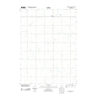
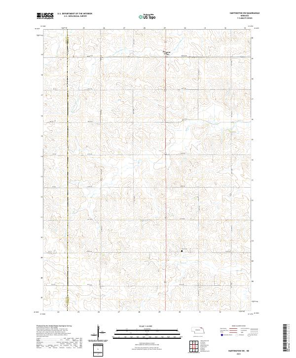 2021 Hartington SW2021 Print · USGSThe rural agricultural landscapes of Cedar and Knox counties are captured here just after the turn of the twenty-first century. Researchers can locate the Olive Cem and trace the paths of Norwegian Bow Cr and Pearl Cr through the hills near Pleasant Valley.
 - 2021 Map of Hartington, 2021 Print
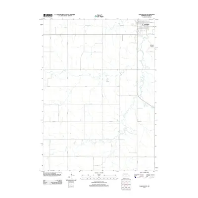
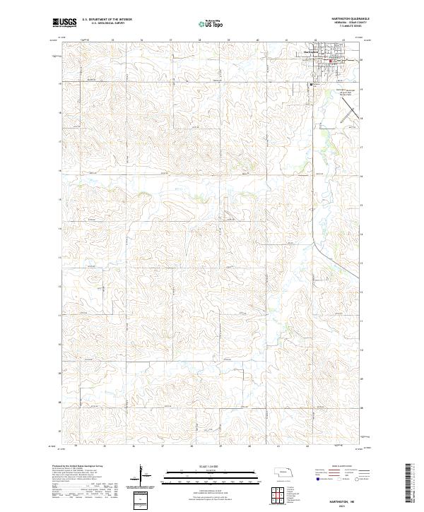 2021 Hartington2021 Print · USGSHartington stands at the center of this recent Cedar County survey, capturing the town and its agricultural surroundings. Genealogists and local researchers can locate Saint Michaels Cem and the Cedar County Courthouse or trace the winding course of Bow Creek.
End of results
Showing maps 1-8 of 8
Top cities near Precinct 11
- Hartington historical maps
- Bloomfield historical maps
- Randolph historical maps
- Osmond historical maps
- Crofton historical maps
- Wausa historical maps
See more
Frequently asked questions
- What are the different types of historical maps available for Precinct 11?
- What is the oldest map of Precinct 11?
- Where can I purchase historical maps of Precinct 11 for my home or office?
- Where can I download high-res historical maps of Precinct 11?
- Are there historical topographic maps available for Precinct 11?
- Is there historical aerial imagery available for Precinct 11?
- Where are historical maps of Precinct 11 sourced from?