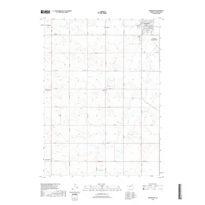
2017 Map of Hartington
USGS Topo · Published 2017About this map
Hartington serves as the focal point of this Cedar County survey, situated in the northeast corner where the street grid expands into the surrounding agricultural landscape. The town's layout is meticulously detailed, including named thoroughfares like W State St and E Bow St that branch out from the central district. To the south of the main settlement, the Hartington Municipal Airport/ Bud Becker Field and Saint Michaels Cem mark the transition from residential areas to the open country.
Find a feature on this map
32 named features on this map. Tap any name to fly to it.
Don’t see what you’re looking for? This feature index may not catch every label — zoom into the map to look around manually.
Map Details
Editions of this 2017 Hartington Map
This is the sole edition of this map. No revisions or reprints were ever made.
Other maps of this area

1955 · Sioux City
USGS Topo · 1:250,000

1958 · Sioux City
USGS Topo · 1:250,000

1959 · Sioux City
USGS Topo · 1:250,000

1968 · Coleridge
USGS Topo · 1:24,000

1968 · Hartington
USGS Topo · 1:24,000

1968 · Hartington SW
USGS Topo · 1:24,000

1968 · Crofton
USGS Topo · 1:24,000

1968 · Wynot
USGS Topo · 1:24,000

1968 · Fordyce
USGS Topo · 1:24,000

1971 · Belden
USGS Topo · 1:24,000