2000s (21st Century) Maps of Howells, Nebraska
Explore 8 historic maps of Howells from the 2000s (21st Century). These maps offer a rare glimpse into what life looked like during the 2000s — showing old roads, neighborhoods, homes, and landmarks that have changed or disappeared over time.
Whether you're researching your family's past, planning a metal detecting trip, or studying how Howells's landscape evolved across the 2000s, these high-resolution maps are a powerful tool for exploring the history of this region.
- Focus on a specific era: All maps on this page are from the 2000s, giving you a focused view of this time period.
- See what’s changed: Compare century-old streets, trails, and buildings to today's modern landscape using overlays and satellite layers.
- Research with precision: Use these maps for genealogy, historical research, land use analysis, or educational projects.
- View, download, or print: Maps are fully viewable online in high resolution, and can be downloaded or printed for your own records.
Start exploring Howells's history through authentic maps from the 2000s. This is your window into the past.
Howells, NE maps
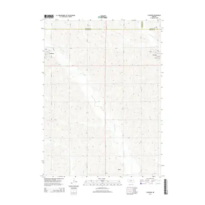
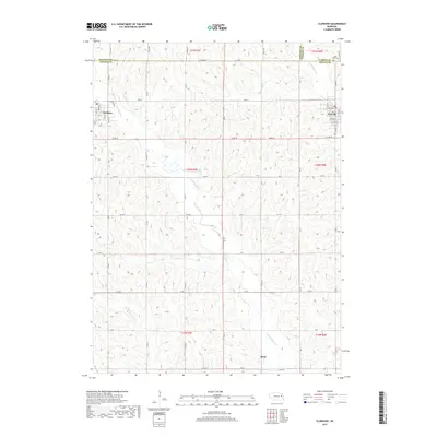
(8)- 2011 Map of Clarkson, 2011 Print
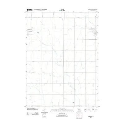 2011 Clarkson2011 Print · USGSCovers Howells, including Clarkson, Heun, and other nearby areas
 - 2011 Map of Dodge, 2011 Print
 2011 Dodge2011 Print · USGSCovers Howells, including Dodge, Olean, and other nearby areas
 - 2014 Map of Clarkson, 2014 Print
 2014 Clarkson2014 Print · USGSCovers Howells, including Clarkson, Heun, and other nearby areas
 - 2014 Map of Dodge, 2014 Print
 2014 Dodge2014 Print · USGSCovers Howells, including Dodge, Olean, and other nearby areas
 - 2017 Map of Dodge, 2017 Print
 2017 Dodge2017 Print · USGSCovers Howells, including Dodge, Olean, and other nearby areas
 - 2017 Map of Clarkson, 2017 Print
 2017 Clarkson2017 Print · USGSCovers Howells, including Clarkson, Heun, and other nearby areas
 - 2021 Map of Dodge, 2021 Print
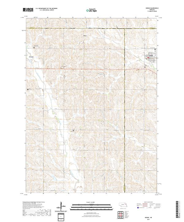 2021 Dodge2021 Print · USGSThe tri-county borderlands of Cuming, Colfax, and Dodge counties appear here in the early twenty-first century. Genealogists can trace family footprints across rural landscapes punctuated by Saints Peter and Paul Cem, Olean, and the streets of Dodge.
 - 2021 Map of Clarkson, 2021 Print
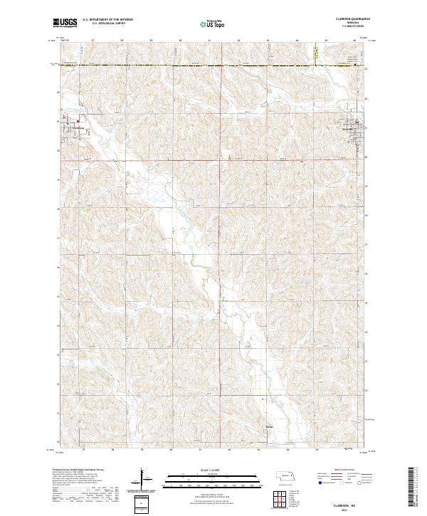 2021 Clarkson2021 Print · USGSNortheastern Nebraska farming communities appear in detail during the early 2020s, showing the settled grid between the forks of Maple Creek. Genealogists and local historians can trace family locations near Heun or the Saint John's Nepomucene Catholic Cem.
End of results
Showing maps 1-8 of 8
Top cities near Howells
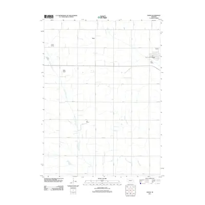
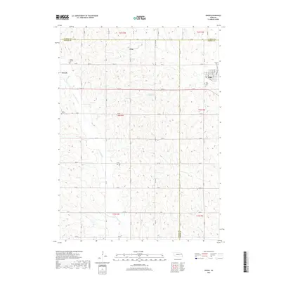
- Stanton historical maps
- Webster historical maps
- Beemer historical maps
- Dodge historical maps
- Clarkson historical maps
- Snyder historical maps
See more
Frequently asked questions
- What are the different types of historical maps available for Howells?
- What is the oldest map of Howells?
- Where can I purchase historical maps of Howells for my home or office?
- Where can I download high-res historical maps of Howells?
- Are there historical topographic maps available for Howells?
- Is there historical aerial imagery available for Howells?
- Where are historical maps of Howells sourced from?