Old Maps of Howells, Nebraska for Academic Research
Study the evolution of Howells with 15 high-resolution historic maps. Whether you're teaching, researching, or modeling changes in land use, these maps provide essential visual documentation of urban, environmental, and geographic change.
- Analyze long-term change: Track patterns in development, transportation, and natural features.
- Ideal for environmental or urban studies: Support academic projects with primary historical map data.
- Use in the classroom or lab: Educators and researchers rely on these maps to bring historical context to life.
These maps are a powerful tool for teaching, research, and visualizing how Howells has changed over the decades.
Howells, NE maps
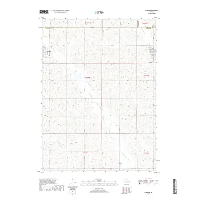
(15)- 1955 Map of Fremont, 1966 Print
 1955 Fremont1966 Print · USGSEastern Nebraska and the Missouri River border are captured during the mid-fifties, just as the interstate system began to emerge. Researchers can trace the development of Omaha, locate the sprawling Offutt Air Force Base, or study the river-bound ecology of the De Soto National Wildlife Refuge.3 unique versions available
 - 1957 Map of Fremont
 1957 Fremont1957 Print · USGSEastern Nebraska and western Iowa thrive along the Platte and Missouri rivers during the mid-fifties. Genealogists can locate small rural schools like Fairview School and tracing the paths of the Union Pacific through towns like Albion and Humphrey.
 - 1958 Map of Fremont
 1958 Fremont1958 Print · USGSEastern Nebraska in the late fifties is captured here as a thriving corridor of river-valley commerce and rail transport. Researchers can trace the development of Omaha and Fremont or locate local landmarks like Midland College and Offutt Air Force Base.
 - 1966 Map of Clarkson, 1968 Print
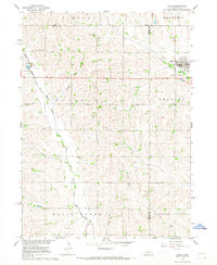
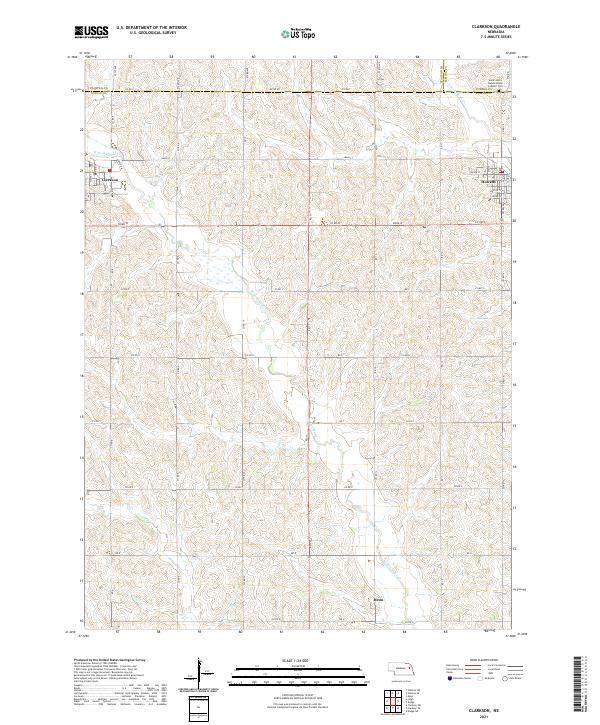
 1966 Clarkson1968 Print · USGSEastern Colfax County comes into focus in the mid-sixties, showing the settled prairie at a time of rural stability. Researchers can trace the Railroad Grade, locate old schoolhouses like School No 48, and find family sites near Heun.
 - 1966 Map of Dodge, 1968 Print
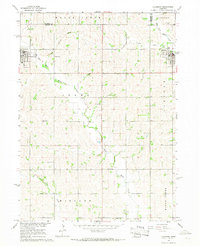
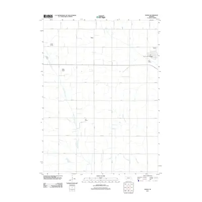
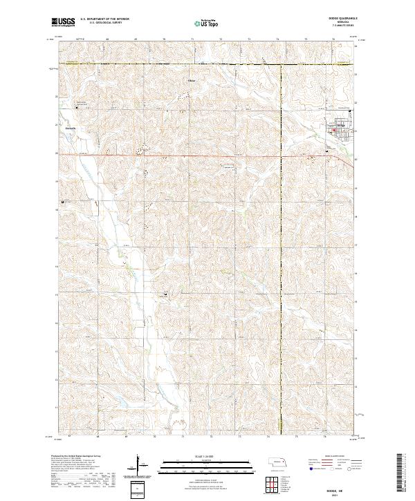
 1966 Dodge1968 Print · USGSNortheastern Nebraska farming country is documented here in the mid-sixties, centered on the communities of Dodge and Howells. Genealogists can locate family landmarks like SS Peter & Paul Cem, Tabor Cem, and Sacred Heart Ch.
 - 1985 Map of Stanton
 1985 Stanton1985 Print · USGSNortheast Nebraska in the mid-eighties shows a landscape of river-valley agriculture and evolving rail networks. Genealogists can trace family footprints through Stanton and Madison, or locate historical markers like the Old Indian Treaty Boundary and Saint Bernard.2 unique versions available
 - 1986 Map of Blair
 1986 Blair1986 Print · USGSEastern Nebraska and the Iowa borderlands are captured here in the mid-eighties, showing the established river-and-rail network. Genealogists and historians can trace the foundations of Blair, West Point, and Tekamah, or locate smaller sites like Fontanelle and Scribner.2 unique versions available
 - 2011 Map of Clarkson, 2011 Print
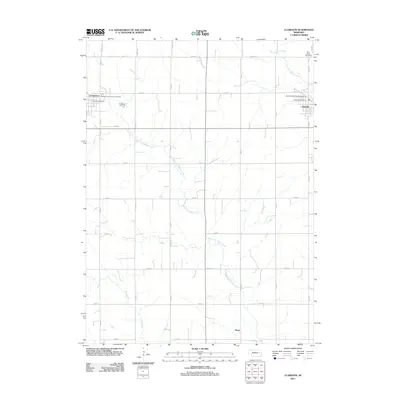 2011 Clarkson2011 Print · USGSCovers Howells, including Clarkson, Heun, and other nearby areas
 - 2011 Map of Dodge, 2011 Print
 2011 Dodge2011 Print · USGSCovers Howells, including Dodge, Olean, and other nearby areas
 - 2014 Map of Clarkson, 2014 Print
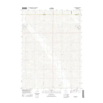 2014 Clarkson2014 Print · USGSCovers Howells, including Clarkson, Heun, and other nearby areas
 - 2014 Map of Dodge, 2014 Print
 2014 Dodge2014 Print · USGSCovers Howells, including Dodge, Olean, and other nearby areas
 - 2017 Map of Dodge, 2017 Print
 2017 Dodge2017 Print · USGSCovers Howells, including Dodge, Olean, and other nearby areas
 - 2017 Map of Clarkson, 2017 Print
 2017 Clarkson2017 Print · USGSCovers Howells, including Clarkson, Heun, and other nearby areas
 - 2021 Map of Dodge, 2021 Print
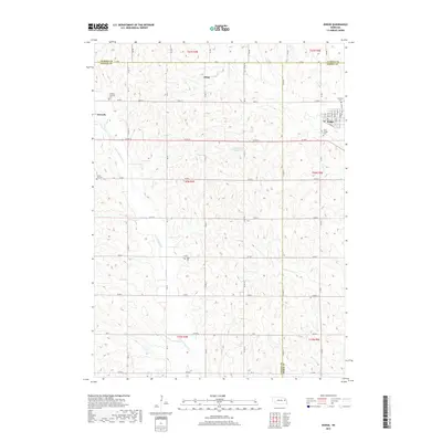
 2021 Dodge2021 Print · USGSThe tri-county borderlands of Cuming, Colfax, and Dodge counties appear here in the early twenty-first century. Genealogists can trace family footprints across rural landscapes punctuated by Saints Peter and Paul Cem, Olean, and the streets of Dodge.
 - 2021 Map of Clarkson, 2021 Print
 2021 Clarkson2021 Print · USGSNortheastern Nebraska farming communities appear in detail during the early 2020s, showing the settled grid between the forks of Maple Creek. Genealogists and local historians can trace family locations near Heun or the Saint John's Nepomucene Catholic Cem.
End of results
Showing maps 1-15 of 15
Top cities near Howells
- Stanton historical maps
- Webster historical maps
- Beemer historical maps
- Dodge historical maps
- Clarkson historical maps
- Snyder historical maps
See more
Frequently asked questions
- What are the different types of historical maps available for Howells?
- What is the oldest map of Howells?
- Where can I purchase historical maps of Howells for my home or office?
- Where can I download high-res historical maps of Howells?
- Are there historical topographic maps available for Howells?
- Is there historical aerial imagery available for Howells?
- Where are historical maps of Howells sourced from?