Old Maps of Wisner, Nebraska for Metal Detecting
Plan your next treasure hunt with 18 historic maps of Wisner. Find old homesites, ghost towns, trails, and gathering spots that may be lost to time — perfect for identifying promising metal detecting locations.
- Locate forgotten sites: Uncover places like long-lost settlements, abandoned rail lines, or gathering spots.
- Plan better hunts: Use map overlays combined with LiDAR or satellite views to narrow in on historically rich areas.
- Made for detectorists: Thousands of hobbyists use these maps to discover relics, coins, and hidden history.
Use these historic maps to boost your research and find new opportunities beneath the surface of Wisner.
Wisner, NE maps
(18)- 1955 Map of Sioux City, 1959 Print
 1955 Sioux City1959 Print · USGSThe Missouri River valley in the mid-fifties is captured here during a time of major engineering and social transition. Genealogists and historians can trace the foundations of Gavins Point Dam, tribal boundaries on the Santee Sioux Indian Reservation, and local landmarks like the Norfolk State Hospital.4 unique versions available
 - 1955 Map of Fremont, 1966 Print
 1955 Fremont1966 Print · USGSEastern Nebraska and the Missouri River border are captured during the mid-fifties, just as the interstate system began to emerge. Researchers can trace the development of Omaha, locate the sprawling Offutt Air Force Base, or study the river-bound ecology of the De Soto National Wildlife Refuge.3 unique versions available
 - 1957 Map of Fremont
 1957 Fremont1957 Print · USGSEastern Nebraska and western Iowa thrive along the Platte and Missouri rivers during the mid-fifties. Genealogists can locate small rural schools like Fairview School and tracing the paths of the Union Pacific through towns like Albion and Humphrey.
 - 1958 Map of Sioux City
 1958 Sioux City1958 Print · USGSThe Missouri River valley in the late fifties was a bustling intersection of tribal lands, rail corridors, and river towns. Genealogists can trace family roots through specific rural sites like Daisy Valley School, St Johns Church and School, and Yankton State Hospital.
 - 1958 Map of Fremont
 1958 Fremont1958 Print · USGSEastern Nebraska in the late fifties is captured here as a thriving corridor of river-valley commerce and rail transport. Researchers can trace the development of Omaha and Fremont or locate local landmarks like Midland College and Offutt Air Force Base.
 - 1959 Map of Sioux City
 1959 Sioux City1959 Print · USGSThe tri-state region surrounding the Missouri River is captured here in the late fifties, showing the convergence of Nebraska, South Dakota, and Iowa. Researchers can trace rural lineages through numerous country schoolhouses like Cemetery School and the many numbered Washington School districts.
 - 1963 Map of Wisner, 1964 Print
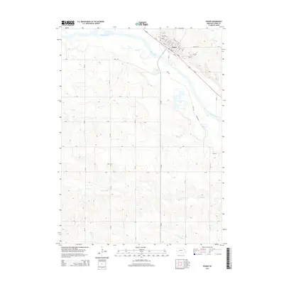
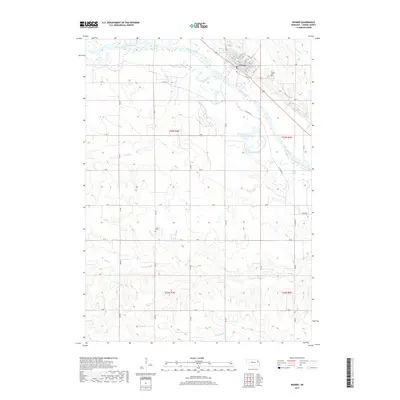
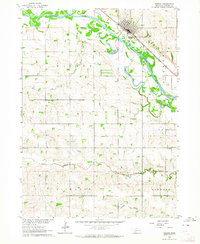 1963 Wisner1964 Print · USGSCuming County farming life and rail transit are captured here in the early sixties, centered on the community of Wisner. Genealogists can locate family landmarks such as Salem Cem, St Johns Sch, and several rural schoolhouses across the Bismarck township.
 - 1963 Map of Altona, 1964 Print
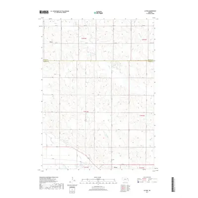
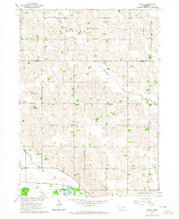 1963 Altona1964 Print · USGSCuming and Wayne Counties in the early sixties reveal a landscape of disciplined prairie farming and local school districts. Researchers can trace the legacy of early settlers at the Norwegian Cem and locate many rural schoolhouses, from School No 32 to School No 17.
 - 1986 Map of Sioux City South
 1986 Sioux City South1986 Print · USGSThe tri-state borderlands of Iowa, Nebraska, and South Dakota come into focus in the mid-1980s as a landscape of tribal lands and rail corridors. Researchers can trace the extensive boundaries of the Winnebago Indian Reservation and find local landmarks like Morningside College and Martin Field.2 unique versions available
 - 1986 Map of Blair
 1986 Blair1986 Print · USGSEastern Nebraska and the Iowa borderlands are captured here in the mid-eighties, showing the established river-and-rail network. Genealogists and historians can trace the foundations of Blair, West Point, and Tekamah, or locate smaller sites like Fontanelle and Scribner.2 unique versions available
 - 2011 Map of Altona, 2011 Print
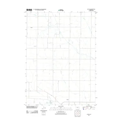 2011 Altona2011 Print · USGSCovers Wisner, including Altona, Wayne County, and other nearby areas
 - 2011 Map of Wisner, 2011 Print
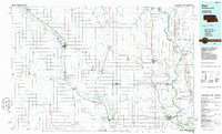
 2011 Wisner2011 Print · USGSCovers Wisner, including Cuming County, United States, and other nearby areas
 - 2014 Map of Altona, 2014 Print
 2014 Altona2014 Print · USGSCovers Wisner, including Altona, Wayne County, and other nearby areas
 - 2014 Map of Wisner, 2014 Print
 2014 Wisner2014 Print · USGSCovers Wisner, including Cuming County, United States, and other nearby areas
 - 2017 Map of Altona, 2017 Print
 2017 Altona2017 Print · USGSCovers Wisner, including Altona, Wayne County, and other nearby areas
 - 2017 Map of Wisner, 2017 Print
 2017 Wisner2017 Print · USGSCovers Wisner, including Cuming County, United States, and other nearby areas
 - 2021 Map of Altona, 2021 Print
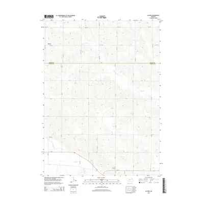
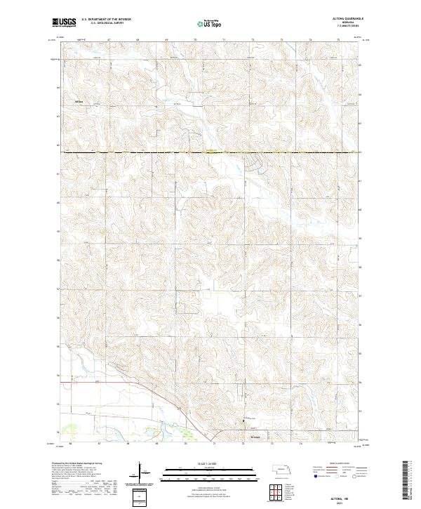 2021 Altona2021 Print · USGSAgricultural life in Wayne and Cuming counties is documented here in the early twenty-first century. Genealogists and historians can trace the rural grid between Altona and Wisner, finding local landmarks like the Norwegian Cemetery and Plum Creek.
 - 2021 Map of Wisner, 2021 Print
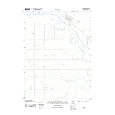
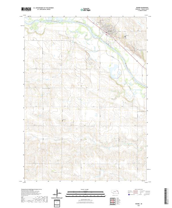 2021 Wisner2021 Print · USGSWisner and the surrounding Cuming County countryside are captured here in the early twenty-first century as the town sits nestled against the Elkhorn River. Researchers can locate specific family plots at Salem Cem or trace the winding waters of Kanes Lake and Sand Creek.
End of results
Showing maps 1-18 of 18
Top cities near Wisner
- West Point historical maps
- Pender historical maps
- Beemer historical maps
- Pilger historical maps
- Monterey historical maps
- Thurston historical maps
Frequently asked questions
- What are the different types of historical maps available for Wisner?
- What is the oldest map of Wisner?
- Where can I purchase historical maps of Wisner for my home or office?
- Where can I download high-res historical maps of Wisner?
- Are there historical topographic maps available for Wisner?
- Is there historical aerial imagery available for Wisner?
- Where are historical maps of Wisner sourced from?