Old Maps of Berwyn, Nebraska for Metal Detecting
Plan your next treasure hunt with 13 historic maps of Berwyn. Find old homesites, ghost towns, trails, and gathering spots that may be lost to time — perfect for identifying promising metal detecting locations.
- Locate forgotten sites: Uncover places like long-lost settlements, abandoned rail lines, or gathering spots.
- Plan better hunts: Use map overlays combined with LiDAR or satellite views to narrow in on historically rich areas.
- Made for detectorists: Thousands of hobbyists use these maps to discover relics, coins, and hidden history.
Use these historic maps to boost your research and find new opportunities beneath the surface of Berwyn.
Berwyn, NE maps
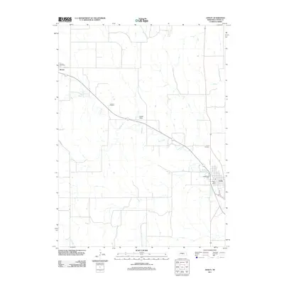
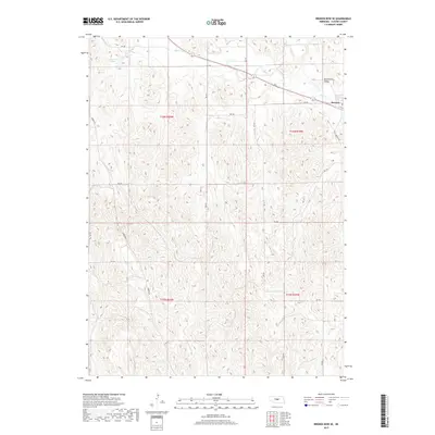
(13)- 1951 Map of Ansley, 1952 Print
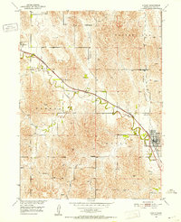 1951 Ansley1952 Print · USGSCuster County ranching country is centered on the railway in the early fifties, following the path of Mud Creek. Trace local genealogy and rural life through landmarks like Janesville Sch, Ansley Cem, and the winding Goose Valley.3 unique versions available
 - 1951 Map of Broken Bow SE, 1952 Print
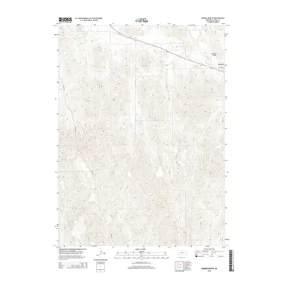
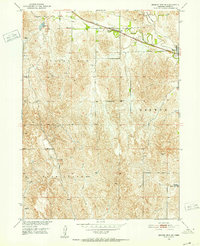 1951 Broken Bow SE1952 Print · USGSCuster County's agricultural heartland is documented here in the early fifties, centered on the village of Berwyn. Genealogists and historians can trace the distribution of rural education through sites like O K School and Happy Hollow Sch along the railroad line.3 unique versions available
 - 1955 Map of Broken Bow
 1955 Broken Bow1955 Print · USGSCentral Nebraska in the mid-fifties is defined by the sweeping Sand Hills and the vital river valleys that supported its ranching and rail towns. Researchers can trace the rail corridors of the Union Pacific RR and locate settlements like Dannebrog, Broken Bow, and Brewster.5 unique versions available
 - 1956 Map of Broken Bow
 1956 Broken Bow1956 Print · USGSCentral Nebraska during the mid-fifties reveals a region defined by its river-valley railroads and the rolling Sand Hills. Genealogists and local historians can trace the paths of the Chicago Burlington and Quincy through towns like Broken Bow, Merna, and Anselmo.
 - 1985 Map of Broken Bow
 1985 Broken Bow1985 Print · USGSCuster County in the mid-1980s displays a landscape of high tablelands and river valleys shaped by the reach of the railroad. Genealogists and researchers can trace the old rail stops along Mud Creek, from Berwyn to Litchfield, or locate land near Redfern Table and West Table.2 unique versions available
 - 2011 Map of Broken Bow SE, 2011 Print
 2011 Broken Bow SE2011 Print · USGSCovers Berwyn, including Custer County, United States, and other nearby areas
 - 2011 Map of Ansley, 2011 Print
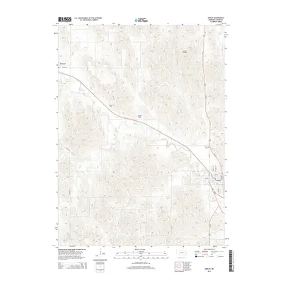
 2011 Ansley2011 Print · USGSCovers Berwyn, including Ansley, Custer County, and other nearby areas
 - 2014 Map of Ansley, 2014 Print
 2014 Ansley2014 Print · USGSCovers Berwyn, including Ansley, Custer County, and other nearby areas
 - 2014 Map of Broken Bow SE, 2014 Print
 2014 Broken Bow SE2014 Print · USGSCovers Berwyn, including Custer County, United States, and other nearby areas
 - 2017 Map of Ansley, 2017 Print
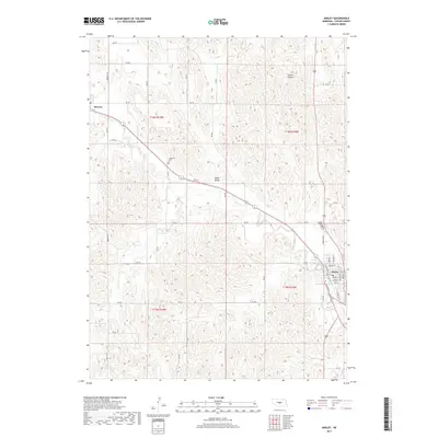 2017 Ansley2017 Print · USGSCovers Berwyn, including Ansley, Custer County, and other nearby areas
 - 2017 Map of Broken Bow SE, 2017 Print
 2017 Broken Bow SE2017 Print · USGSCovers Berwyn, including Custer County, United States, and other nearby areas
 - 2021 Map of Broken Bow SE, 2021 Print
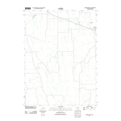
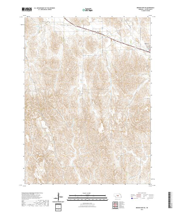 2021 Broken Bow SE2021 Print · USGSCuster County's loess canyon country is captured here in the early 2020s, centered on the rural drainage of the Sandhills periphery. Researchers can trace the layout of Berwyn and locate water features like Carothers Lake and the winding Mud Cr.
 - 2021 Map of Ansley, 2021 Print
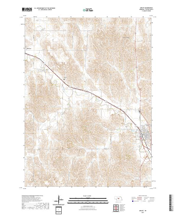 2021 Ansley2021 Print · USGSCuster County prairie life is documented here in the early twenty-first century, showing the established rail-side communities of Ansley and Berwyn. Local historians can trace family plots at Janesville Cem or study the terrain around Goose Valley.
End of results
Showing maps 1-13 of 13
Top cities near Berwyn
- Broken Bow historical maps
- Ansley historical maps
- Mason City historical maps
- Westerville historical maps
Frequently asked questions
- What are the different types of historical maps available for Berwyn?
- What is the oldest map of Berwyn?
- Where can I purchase historical maps of Berwyn for my home or office?
- Where can I download high-res historical maps of Berwyn?
- Are there historical topographic maps available for Berwyn?
- Is there historical aerial imagery available for Berwyn?
- Where are historical maps of Berwyn sourced from?