Old Maps of Westerville, Nebraska for Metal Detecting
Plan your next treasure hunt with 9 historic maps of Westerville. Find old homesites, ghost towns, trails, and gathering spots that may be lost to time — perfect for identifying promising metal detecting locations.
- Locate forgotten sites: Uncover places like long-lost settlements, abandoned rail lines, or gathering spots.
- Plan better hunts: Use map overlays combined with LiDAR or satellite views to narrow in on historically rich areas.
- Made for detectorists: Thousands of hobbyists use these maps to discover relics, coins, and hidden history.
Use these historic maps to boost your research and find new opportunities beneath the surface of Westerville.
Westerville, NE maps
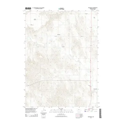
(9)- 1951 Map of Westerville, 1952 Print
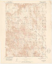 1951 Westerville1952 Print · USGSCentral Nebraska farm country is captured here during the early fifties, centered on the Clear Creek valley. Genealogists can locate family landmarks like Pederson Ranch and several rural burial grounds including Lone Tree Cem and Dry Valley Cem.2 unique versions available
 - 1955 Map of Broken Bow
 1955 Broken Bow1955 Print · USGSCentral Nebraska in the mid-fifties is defined by the sweeping Sand Hills and the vital river valleys that supported its ranching and rail towns. Researchers can trace the rail corridors of the Union Pacific RR and locate settlements like Dannebrog, Broken Bow, and Brewster.5 unique versions available
 - 1956 Map of Broken Bow
 1956 Broken Bow1956 Print · USGSCentral Nebraska during the mid-fifties reveals a region defined by its river-valley railroads and the rolling Sand Hills. Genealogists and local historians can trace the paths of the Chicago Burlington and Quincy through towns like Broken Bow, Merna, and Anselmo.
 - 1974 Map of Westerville, 1978 Print
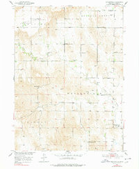 1974 Westerville1978 Print · USGSCuster County ranchlands and township centers are captured here during the mid-twentieth century as part of the Missouri River Basin development program. Genealogists can trace family footprints across numerous local sites like Westerville Cem, Pederson Ranch, and Allen Sch.
 - 1985 Map of Broken Bow
 1985 Broken Bow1985 Print · USGSCuster County in the mid-1980s displays a landscape of high tablelands and river valleys shaped by the reach of the railroad. Genealogists and researchers can trace the old rail stops along Mud Creek, from Berwyn to Litchfield, or locate land near Redfern Table and West Table.2 unique versions available
 - 2011 Map of Westerville, 2011 Print
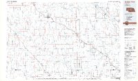
 2011 Westerville2011 Print · USGSCovers Westerville, including Weissert, Custer County, and other nearby areas
 - 2014 Map of Westerville, 2014 Print
 2014 Westerville2014 Print · USGSCovers Westerville, including Weissert, Custer County, and other nearby areas
 - 2017 Map of Westerville, 2017 Print
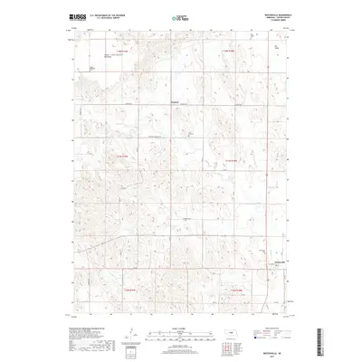 2017 Westerville2017 Print · USGSCovers Westerville, including Weissert, Custer County, and other nearby areas
 - 2021 Map of Westerville, 2021 Print
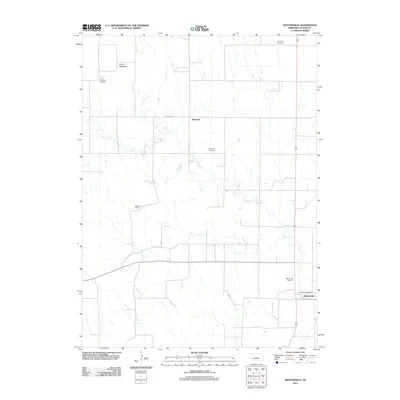
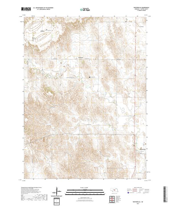 2021 Westerville2021 Print · USGSCuster County settlement and high plains agriculture define this central Nebraska landscape in the early 2020s. Researchers can trace local genealogy and land use through sites like Westerville Cem, Weissert, and the expansive French Tableland.
End of results
Showing maps 1-9 of 9
Top cities near Westerville
Frequently asked questions
- What are the different types of historical maps available for Westerville?
- What is the oldest map of Westerville?
- Where can I purchase historical maps of Westerville for my home or office?
- Where can I download high-res historical maps of Westerville?
- Are there historical topographic maps available for Westerville?
- Is there historical aerial imagery available for Westerville?
- Where are historical maps of Westerville sourced from?