Old Maps of Boys Town, Nebraska for Metal Detecting
Plan your next treasure hunt with 26 historic maps of Boys Town. Find old homesites, ghost towns, trails, and gathering spots that may be lost to time — perfect for identifying promising metal detecting locations.
- Locate forgotten sites: Uncover places like long-lost settlements, abandoned rail lines, or gathering spots.
- Plan better hunts: Use map overlays combined with LiDAR or satellite views to narrow in on historically rich areas.
- Made for detectorists: Thousands of hobbyists use these maps to discover relics, coins, and hidden history.
Use these historic maps to boost your research and find new opportunities beneath the surface of Boys Town.
Boys Town, NE maps
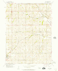
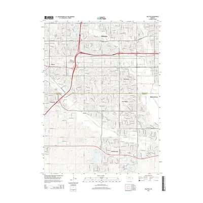
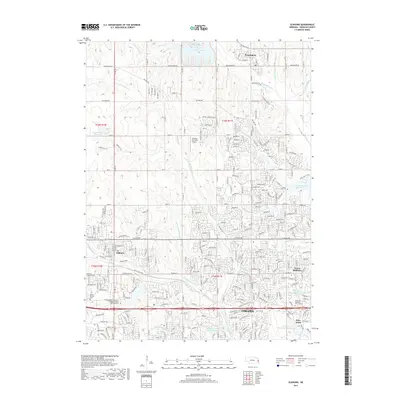
(26)- 1893 Map of Fremont, 1960 Print
 1893 Fremont1960 Print · USGSEastern Nebraska was a nexus of river navigation and rail expansion in the 1890s as the prairie gave way to organized township grids. Genealogists and historians can trace early settlements and transportation corridors through Fort Calhoun, the growth of Fremont, and the junctions of the Union Pacific R.R..
 - 1896 Map of Fremont
 1896 Fremont1896 Print · USGSThe rail-driven growth of eastern Nebraska is captured here in the late nineteenth century as steam power connected the prairie. Researchers can trace ancestral roots through dozens of established settlements like Fontanelle, Gretna, and Papillion, or follow the historic routes of the Union Pacific R.R. and the Elkhorn River.5 unique versions available
 - 1955 Map of Fremont, 1966 Print
 1955 Fremont1966 Print · USGSEastern Nebraska and the Missouri River border are captured during the mid-fifties, just as the interstate system began to emerge. Researchers can trace the development of Omaha, locate the sprawling Offutt Air Force Base, or study the river-bound ecology of the De Soto National Wildlife Refuge.3 unique versions available
 - 1956 Map of Gretna, 1957 Print
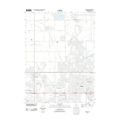
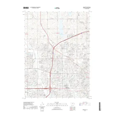
 1956 Gretna1957 Print · USGSEastern Nebraska farming communities and rail stops are captured here in the mid-fifties, showing the landscape before the expansion of the Omaha metro area. Genealogists can locate family burial sites at Mt Auburn Cem and trace dozens of local school districts like LaBelle Sch and Stender Sch.6 unique versions available
 - 1956 Map of Ralston, 1957 Print
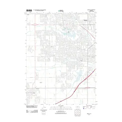
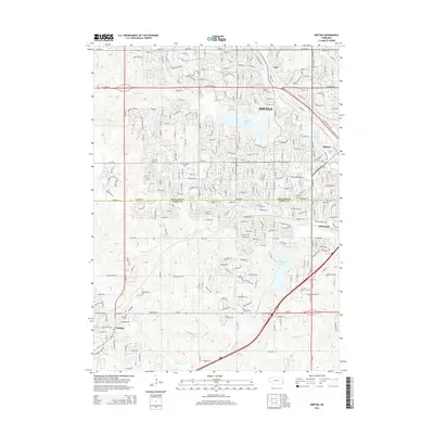
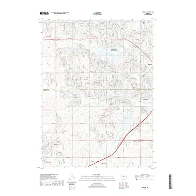
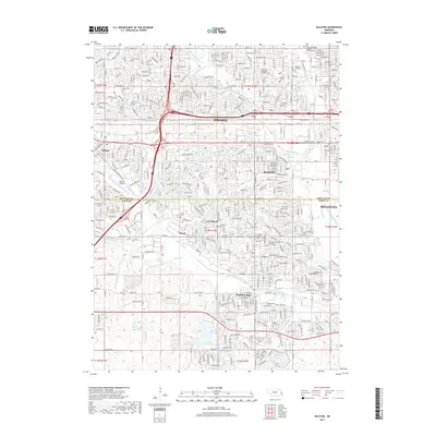
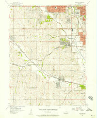 1956 Ralston1957 Print · USGSThe western outskirts of Omaha and Sarpy County undergo a mid-century transition from family farms to suburban neighborhoods. Researchers can trace the grounds of Boys Town, find local burial sites like Portal Cem, and locate long-standing schools including Bloomfield Sch and Ireland Sch.5 unique versions available
 - 1956 Map of Irvington, 1957 Print
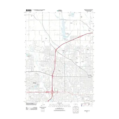
 1956 Irvington1957 Print · USGSNorthwest Omaha and Douglas County are captured in the mid-fifties as suburban growth begins to reach toward the countryside. Researchers can trace the grounds of Boys Town, the original University of Omaha, and several local aviation sites like Sky Ranch Landing Field.5 unique versions available
 - 1957 Map of Fremont
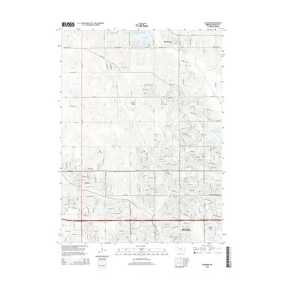
 1957 Fremont1957 Print · USGSEastern Nebraska and western Iowa thrive along the Platte and Missouri rivers during the mid-fifties. Genealogists can locate small rural schools like Fairview School and tracing the paths of the Union Pacific through towns like Albion and Humphrey.
 - 1958 Map of Fremont
 1958 Fremont1958 Print · USGSEastern Nebraska in the late fifties is captured here as a thriving corridor of river-valley commerce and rail transport. Researchers can trace the development of Omaha and Fremont or locate local landmarks like Midland College and Offutt Air Force Base.
 - 1968 Map of Elkhorn, 1971 Print
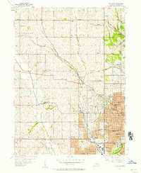
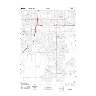
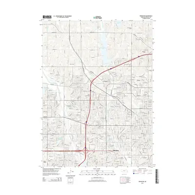
 1968 Elkhorn1971 Print · USGSWest of Omaha in the late sixties, this survey captures the transition from historic railroad towns to burgeoning residential communities. Genealogists and local researchers can trace the sites of St Patricks Seminary, Flower Hill Cem, and the unique institutional grounds of Boys Town.4 unique versions available
 - 1982 Map of Fremont
 1982 Fremont1982 Print · USGSEastern Nebraska in the early eighties exhibits a landscape of industrious rail towns and river-fed agriculture. Genealogists and historians can trace the development of Fremont, locate the National Cem, and find landmarks like the Todd Valley.2 unique versions available
 - 2011 Map of Gretna, 2011 Print
 2011 Gretna2011 Print · USGSCovers Boys Town, including Omaha, Papillion, and other nearby areas
 - 2011 Map of Elkhorn, 2011 Print
 2011 Elkhorn2011 Print · USGSCovers Boys Town, including Omaha, Bennington, and other nearby areas
 - 2011 Map of Irvington, 2011 Print
 2011 Irvington2011 Print · USGSCovers Boys Town, including Omaha, Briggs, and other nearby areas
 - 2011 Map of Ralston, 2011 Print
 2011 Ralston2011 Print · USGSCovers Boys Town, including Omaha, Bellevue, and other nearby areas
 - 2014 Map of Ralston, 2014 Print
 2014 Ralston2014 Print · USGSCovers Boys Town, including Omaha, Bellevue, and other nearby areas
 - 2014 Map of Gretna, 2014 Print
 2014 Gretna2014 Print · USGSCovers Boys Town, including Omaha, Papillion, and other nearby areas
 - 2014 Map of Irvington, 2014 Print
 2014 Irvington2014 Print · USGSCovers Boys Town, including Omaha, Briggs, and other nearby areas
 - 2015 Map of Elkhorn, 2015 Print
 2015 Elkhorn2015 Print · USGSCovers Boys Town, including Omaha, Bennington, and other nearby areas
 - 2017 Map of Elkhorn, 2017 Print
 2017 Elkhorn2017 Print · USGSCovers Boys Town, including Omaha, Bennington, and other nearby areas
 - 2017 Map of Irvington, 2017 Print
 2017 Irvington2017 Print · USGSCovers Boys Town, including Omaha, Briggs, and other nearby areas
 - 2017 Map of Gretna, 2017 Print
 2017 Gretna2017 Print · USGSCovers Boys Town, including Omaha, Papillion, and other nearby areas
 - 2017 Map of Ralston, 2017 Print
 2017 Ralston2017 Print · USGSCovers Boys Town, including Omaha, Bellevue, and other nearby areas
 - 2021 Map of Elkhorn, 2021 Print
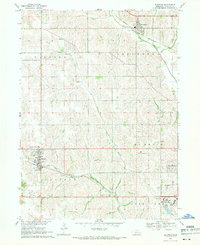
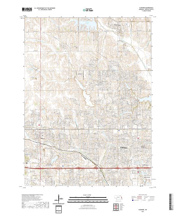 2021 Elkhorn2021 Print · USGSDouglas County's western expansion is clearly visible in this recent study of Bennington and Elkhorn near OMAHA. Researchers can trace the development of Boys Town and locate local landmarks like Flower Hill Cem or Mount Calvary Cem.
 - 2021 Map of Ralston, 2021 Print
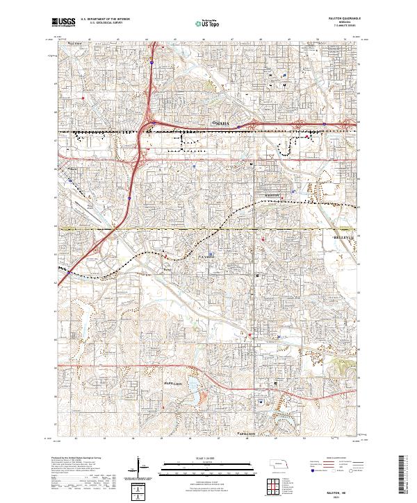 2021 Ralston2021 Print · USGSThe Douglas and Sarpy County line comes into focus in the early 2020s, showing the dense suburban development south of Omaha. Genealogists and local historians can locate several burial sites including Portal Cem and Calvary Cem, or trace the winding course of Big Papillion Cr.
 - 2021 Map of Irvington, 2021 Print
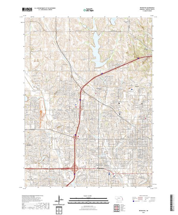 2021 Irvington2021 Print · USGSNorthwest Omaha and its suburban fringes are shown in detail during a period of significant residential and commercial maturity. Genealogists and local historians can trace the grounds of Boys Town, find historic burials at Springwell Danish Cem, and locate the former sites of Irvington and Briggs.
Showing maps 1-25 of 26
Top cities near Boys Town
- Omaha historical maps
- Council Bluffs historical maps
- Bellevue historical maps
- Papillion historical maps
- La Vista historical maps
- Ralston historical maps
See more
Frequently asked questions
- What are the different types of historical maps available for Boys Town?
- What is the oldest map of Boys Town?
- Where can I purchase historical maps of Boys Town for my home or office?
- Where can I download high-res historical maps of Boys Town?
- Are there historical topographic maps available for Boys Town?
- Is there historical aerial imagery available for Boys Town?
- Where are historical maps of Boys Town sourced from?