2000s (21st Century) Maps of Maywood, Nebraska
Explore 8 historic maps of Maywood from the 2000s (21st Century). These maps offer a rare glimpse into what life looked like during the 2000s — showing old roads, neighborhoods, homes, and landmarks that have changed or disappeared over time.
Whether you're researching your family's past, planning a metal detecting trip, or studying how Maywood's landscape evolved across the 2000s, these high-resolution maps are a powerful tool for exploring the history of this region.
- Focus on a specific era: All maps on this page are from the 2000s, giving you a focused view of this time period.
- See what’s changed: Compare century-old streets, trails, and buildings to today's modern landscape using overlays and satellite layers.
- Research with precision: Use these maps for genealogy, historical research, land use analysis, or educational projects.
- View, download, or print: Maps are fully viewable online in high resolution, and can be downloaded or printed for your own records.
Start exploring Maywood's history through authentic maps from the 2000s. This is your window into the past.
Maywood, NE maps
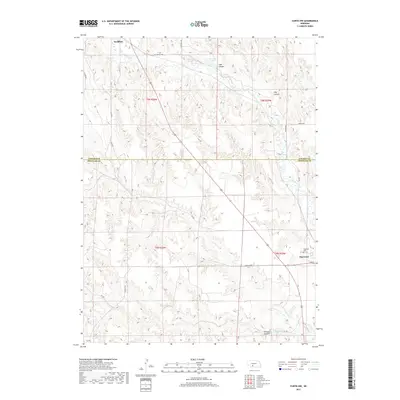
(8)- 2011 Map of Curtis, 2011 Print
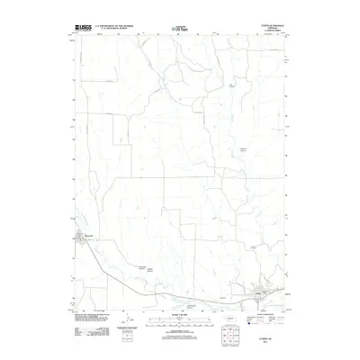 2011 Curtis2011 Print · USGSCovers Maywood, including Curtis, Lincoln County, and other nearby areas
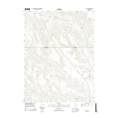
 - 2011 Map of Curtis NW, 2011 Print
 2011 Curtis NW2011 Print · USGSCovers Maywood, including Wellfleet, Lincoln County, and other nearby areas
 - 2014 Map of Curtis NW, 2014 Print
 2014 Curtis NW2014 Print · USGSCovers Maywood, including Wellfleet, Lincoln County, and other nearby areas
 - 2014 Map of Curtis, 2014 Print
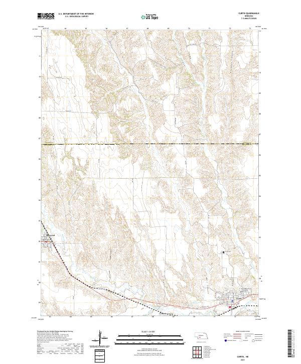
 2014 Curtis2014 Print · USGSCovers Maywood, including Curtis, Lincoln County, and other nearby areas
 - 2017 Map of Curtis NW, 2017 Print
 2017 Curtis NW2017 Print · USGSCovers Maywood, including Wellfleet, Lincoln County, and other nearby areas
 - 2017 Map of Curtis, 2017 Print
 2017 Curtis2017 Print · USGSCovers Maywood, including Curtis, Lincoln County, and other nearby areas
 - 2021 Map of Curtis NW, 2021 Print
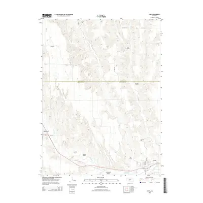
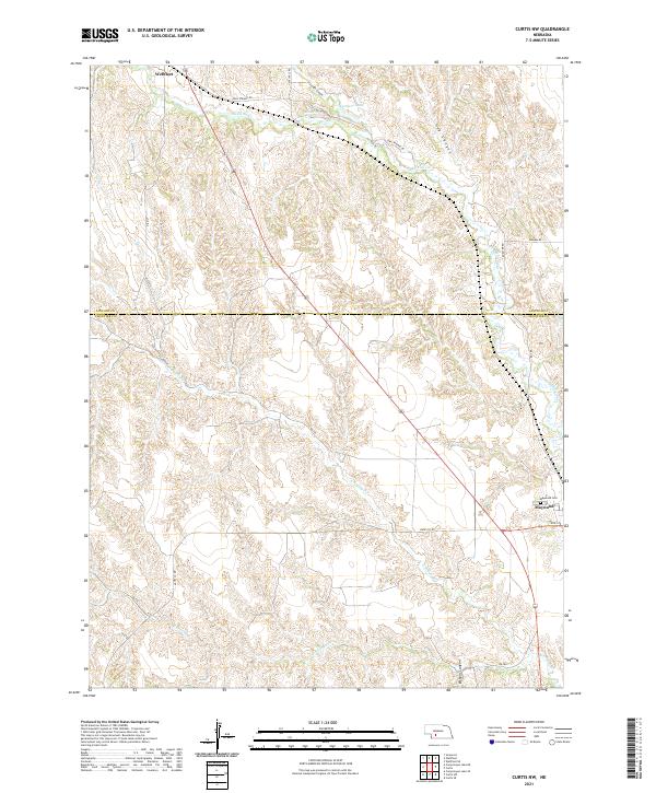 2021 Curtis NW2021 Print · USGSWestern Nebraska rangeland and deep canyon systems define the landscape between Lincoln and Frontier counties in the 2020s. Researchers can trace rural cemetery locations like Maywood Cem and spring-fed water sources such as Opal Spring and Farmers Lake.
 - 2021 Map of Curtis, 2021 Print
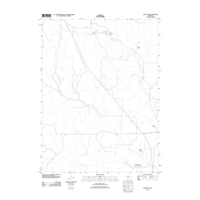
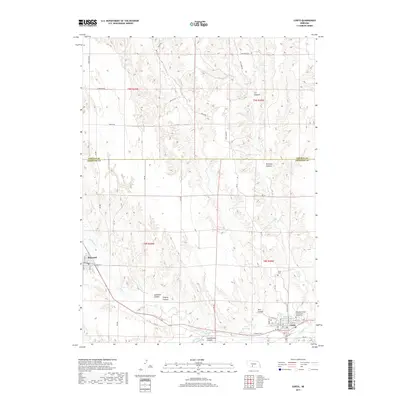
 2021 Curtis2021 Print · USGSFrontier County and the canyons of the Nebraska loess hills are captured here in the early twenty-first century. Researchers can trace the layout of Curtis and Maywood, locate the Nebraska College of Technical Agriculture, or find family sites near Curtis Cem.
End of results
Showing maps 1-8 of 8
Top cities near Maywood
Frequently asked questions
- What are the different types of historical maps available for Maywood?
- What is the oldest map of Maywood?
- Where can I purchase historical maps of Maywood for my home or office?
- Where can I download high-res historical maps of Maywood?
- Are there historical topographic maps available for Maywood?
- Is there historical aerial imagery available for Maywood?
- Where are historical maps of Maywood sourced from?