2020s Maps of Furnas County, Nebraska
Explore 15 historic maps of Furnas County from the 2020s. These maps offer a rare glimpse into what life looked like during the 2020s — showing old roads, neighborhoods, homes, and landmarks that have changed or disappeared over time.
Whether you're researching your family's past, planning a metal detecting trip, or studying how Furnas County's landscape evolved across the 2020s, these high-resolution maps are a powerful tool for exploring the history of this region.
- Focus on a specific era: All maps on this page are from the 2020s, giving you a focused view of this time period.
- See what’s changed: Compare century-old streets, trails, and buildings to today's modern landscape using overlays and satellite layers.
- Research with precision: Use these maps for genealogy, historical research, land use analysis, or educational projects.
- View, download, or print: Maps are fully viewable online in high resolution, and can be downloaded or printed for your own records.
Start exploring Furnas County's history through authentic maps from the 2020s. This is your window into the past.
Furnas County, NE maps
(15)- 2021 Map of Beaver City, 2021 Print
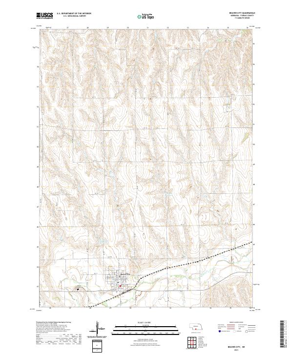 2021 Beaver City2021 Print · USGSBeaver City and the surrounding plains of Furnas County are captured in this recent survey. Genealogists and local historians can locate Mount Hope Cem, the Furnas County Courthouse, and water features like Theobald Reservoir.
 - 2021 Map of Arapahoe, 2021 Print
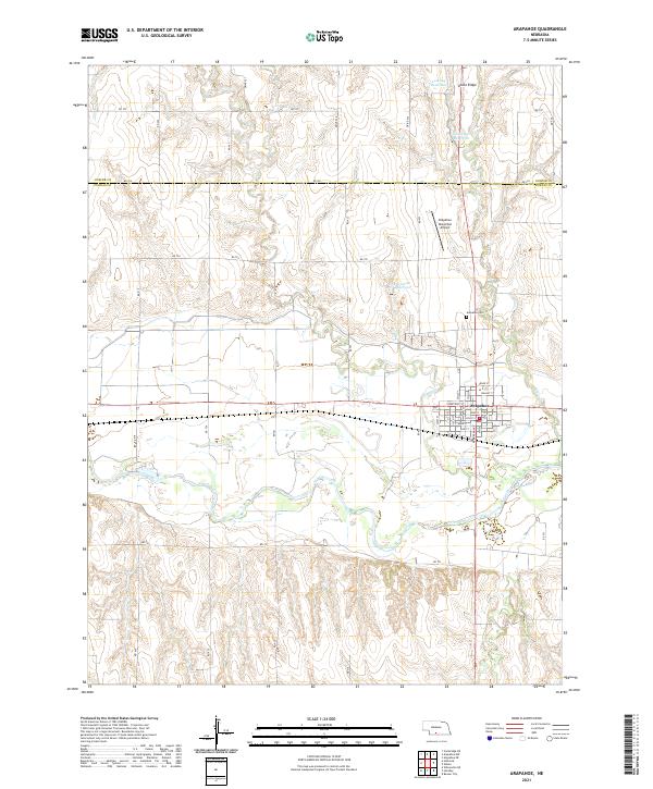 2021 Arapahoe2021 Print · USGSArapahoe and the surrounding Furnas County prairie appear in fine detail during the early 2020s. Genealogists and local historians can trace the town’s street layout and locate landmarks like the Arapahoe Cem, Union Ridge, and Muddy Cr.
 - 2021 Map of Wilsonville NW, 2021 Print
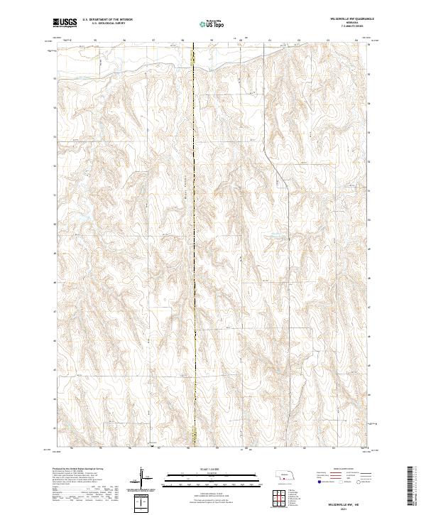 2021 Wilsonville NW2021 Print · USGSFurnas and Red Willow counties are documented here in the early twenty-first century, showing a rural landscape defined by irrigation and canyon lands. Genealogists can locate Tyrone Cem, while others can trace the Bartley Canal and Bogus Canyon.
 - 2021 Map of Beaver City SW, 2021 Print
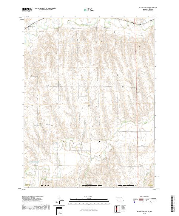 2021 Beaver City SW2021 Print · USGSThe high plains along the Nebraska and Kansas border are shown here in recent years, revealing the enduring agricultural layout of Furnas County. Genealogists can locate family sites near Lynden Cemetery, Rockton Cemetery, and Spring Green Cemetery.
 - 2021 Map of Hollinger, 2021 Print
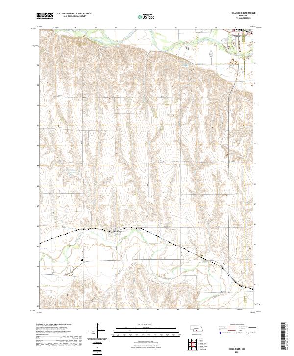 2021 Hollinger2021 Print · USGSThe Furnas and Harlan county line landscape of southern Nebraska comes into focus here, showing the region's agricultural heart. Researchers can locate the Turner Cem near Beaver Creek and the quiet street grid of the village of Hollinger.
 - 2021 Map of Holbrook, 2021 Print
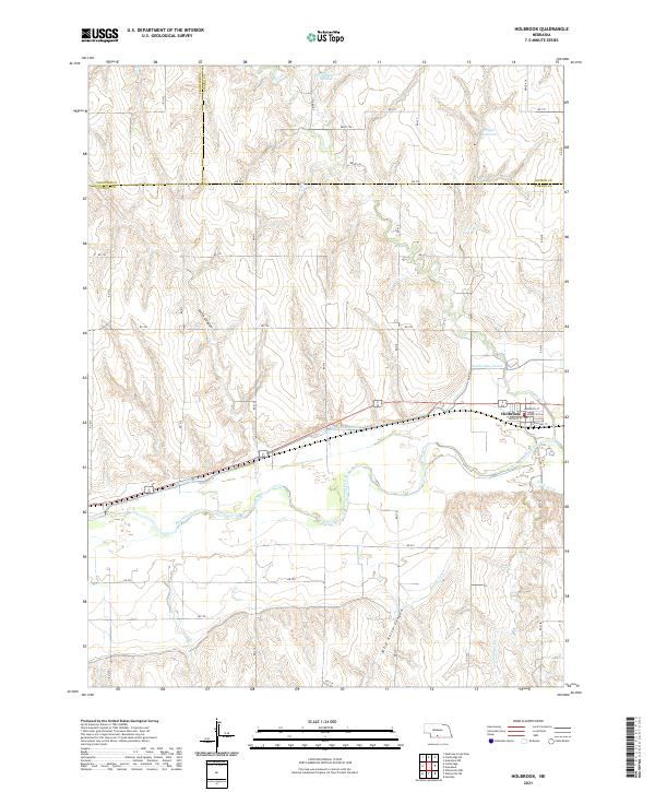 2021 Holbrook2021 Print · USGSThe village of Holbrook and its surrounding valley are documented here in the early twenty-first century, showing a landscape defined by the Republican River. Researchers can trace the path of the Cambridge Canal and locate local landmarks like Wild Horse Canyon or Hilger Reservoir.
 - 2021 Map of Precept, 2021 Print
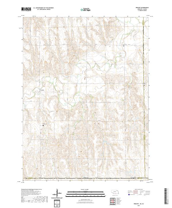 2021 Precept2021 Print · USGSThe Nebraska-Kansas borderlands come into focus in the early 2020s, showing a landscape of high-plains agriculture and scattered rural history. Genealogists can trace the locations of Precept, the Maple Creek Cem, and the Pleasant Hill Cem.
 - 2021 Map of Cambridge, 2021 Print
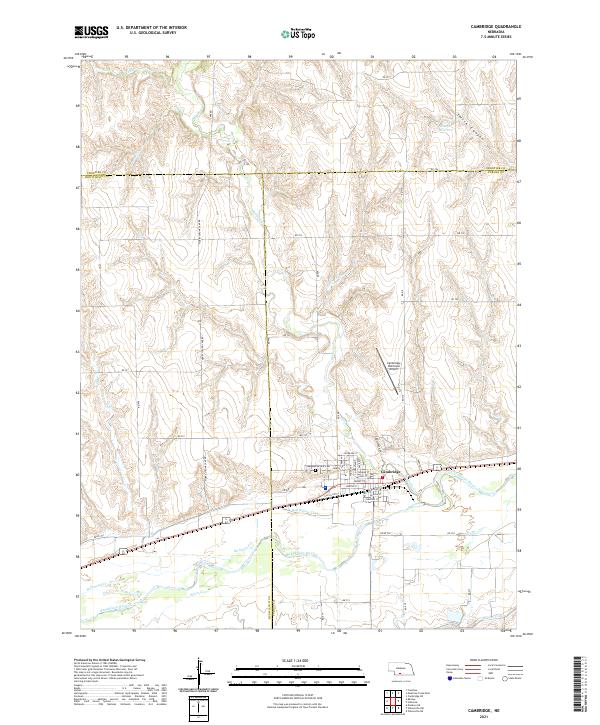 2021 Cambridge2021 Print · USGSThe Republican River valley and the town of Cambridge are shown in detail during the early 2020s. Genealogists and local researchers can locate Fairview Cem, trace the path of the Red Willow Canal, and explore the street grid from Niobrara St to Nakoma St.
 - 2021 Map of Hendley, 2021 Print
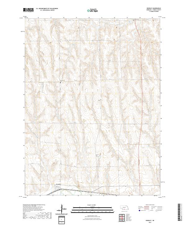 2021 Hendley2021 Print · USGSThe community of Hendley and its surrounding plains are documented here in the early 2020s. Researchers can locate family landmarks such as Garfield Cem and Pleasantview Cem or trace the path of Crum Cr through the sections.
 - 2021 Map of Beaver City SE, 2021 Print
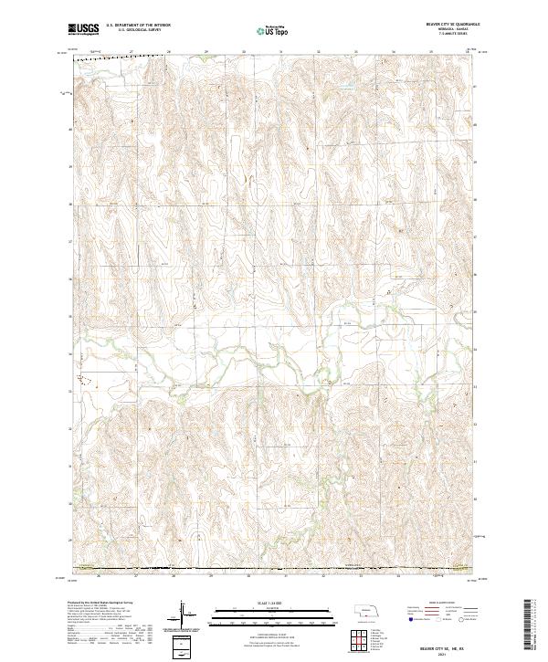 2021 Beaver City SE2021 Print · USGSThe Nebraska and Kansas borderlands come into focus in this recent survey of the rural prairie. Researchers can trace the agricultural grid from Beaver Cr down to the state line at RD 702 and Campbell Reservoir.
 - 2021 Map of Edison, 2021 Print
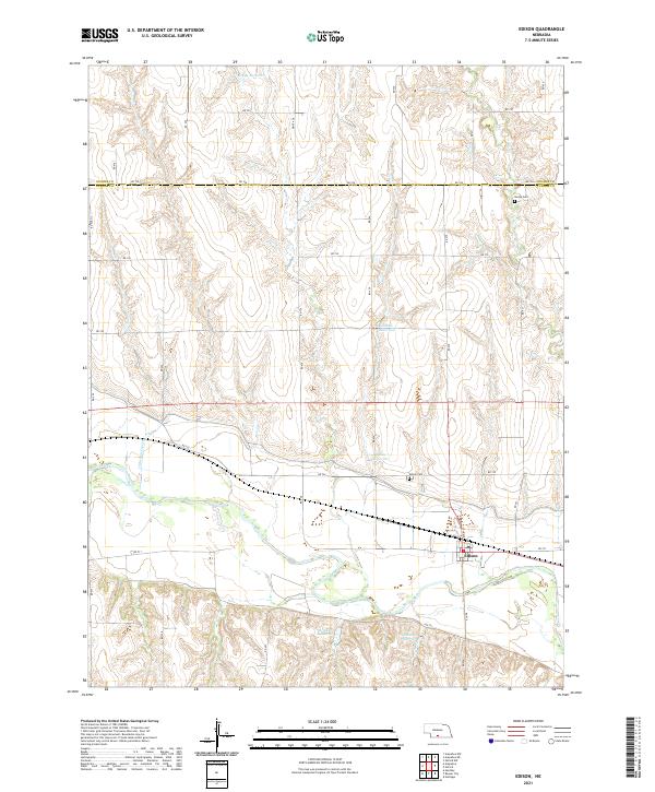 2021 Edison2021 Print · USGSThe village of Edison and the surrounding Furnas County agricultural lands are captured here in the early 2020s. Researchers can locate family sites near Stump Cem, Edison Cem, and a network of water projects like Ziebell Reservoir.
 - 2021 Map of Oxford, 2021 Print
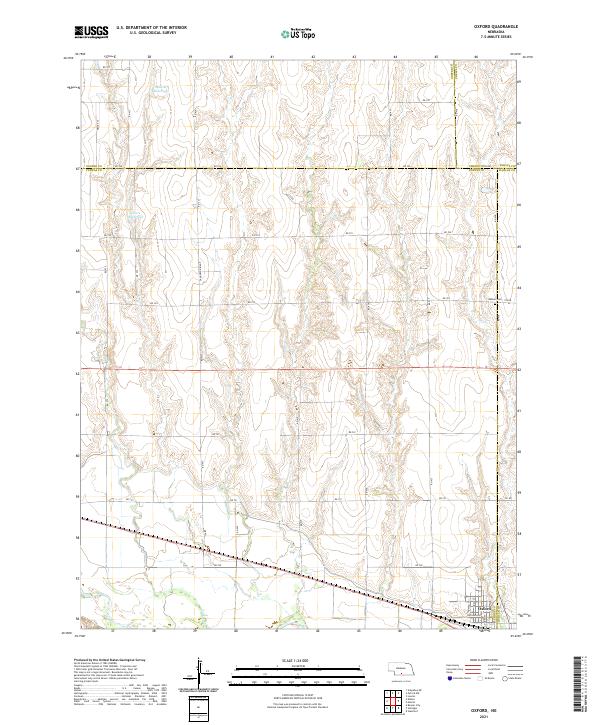 2021 Oxford2021 Print · USGSOxford and the surrounding plains of Furnas and Harlan Counties are shown in this modern survey. Researchers can trace rural land divisions near Oxford or locate historical burial sites like Kellner Cem along the slopes of Sanderson Ridge.
 - 2021 Map of Wilsonville NE, 2021 Print
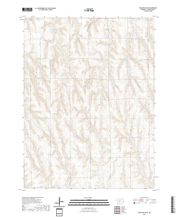 2021 Wilsonville NE2021 Print · USGSFurnas County, Nebraska, is seen here in the early 2020s as a landscape of structured agricultural sections and deep drainage ravines. Local historians can trace property lines through the section grid or find natural landmarks like Wild Horse Canyon and Timmons Cr.
 - 2021 Map of Shippee, 2021 Print
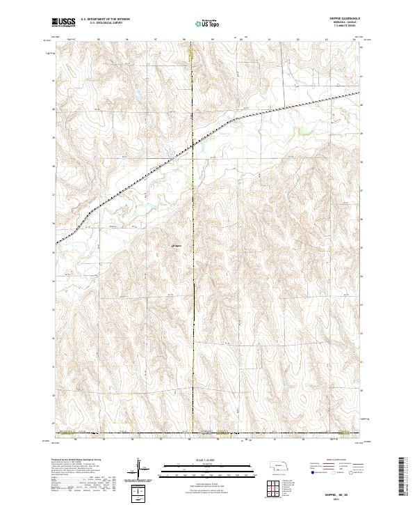 2021 Shippee2021 Print · USGSThe Nebraska-Kansas borderlands in the early twenty-first century are defined by the winding course of Beaver Cr and the grid of the High Plains. Researchers can trace rural property lines and transport routes through the Shippee area, following RD 709 and Wildcat Cr.
 - 2021 Map of Wilsonville, 2021 Print
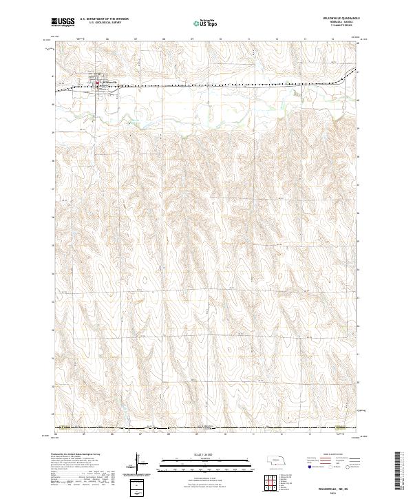 2021 Wilsonville2021 Print · USGSThe rural borderlands of Furnas County are captured here in the early twenty-first century, centered on the village of Wilsonville. Genealogists and local historians can trace the town grid from Main St to S Railway St or locate McCue Reservoir and Beaver Cr.
End of results
Showing maps 1-15 of 15
Top cities of Furnas County
- Cambridge historical maps
- Arapahoe historical maps
- Beaver City historical maps
- Holbrook historical maps
- Edison historical maps
- Wilsonville historical maps
See more
Frequently asked questions
- What are the different types of historical maps available for Furnas County?
- What is the oldest map of Furnas County?
- Where can I purchase historical maps of Furnas County for my home or office?
- Where can I download high-res historical maps of Furnas County?
- Are there historical topographic maps available for Furnas County?
- Is there historical aerial imagery available for Furnas County?
- Where are historical maps of Furnas County sourced from?