2020s Maps of Garden County, Nebraska
Explore 49 historic maps of Garden County from the 2020s. These maps offer a rare glimpse into what life looked like during the 2020s — showing old roads, neighborhoods, homes, and landmarks that have changed or disappeared over time.
Whether you're researching your family's past, planning a metal detecting trip, or studying how Garden County's landscape evolved across the 2020s, these high-resolution maps are a powerful tool for exploring the history of this region.
- Focus on a specific era: All maps on this page are from the 2020s, giving you a focused view of this time period.
- See what’s changed: Compare century-old streets, trails, and buildings to today's modern landscape using overlays and satellite layers.
- Research with precision: Use these maps for genealogy, historical research, land use analysis, or educational projects.
- View, download, or print: Maps are fully viewable online in high resolution, and can be downloaded or printed for your own records.
Start exploring Garden County's history through authentic maps from the 2020s. This is your window into the past.
Garden County, NE maps
(49)- 2021 Map of Williams Ranch, 2021 Print
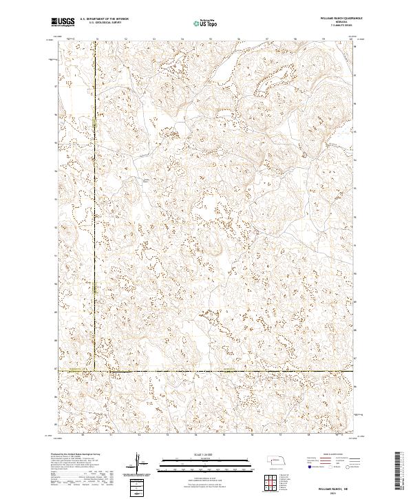 2021 Williams Ranch2021 Print · USGSThe Nebraska Sandhills come into focus in this contemporary survey of the borderlands between Garden, Arthur, and Keith counties. Researchers can trace the ranching landscape around Williams Ranch and the winding paths of Lewellen Rd and Rd 66.
 - 2021 Map of Bourquim Hill, 2021 Print
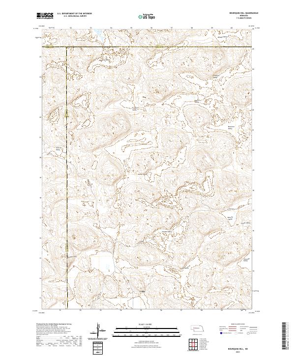 2021 Bourquim Hill2021 Print · USGSThe Nebraska Sandhills come into sharp focus in the 2020s at the junction of Arthur and Garden Counties. Researchers can trace rural routes like Sillassen Rd and Carlholm Dr while locating named family landmarks such as Velma and Bourquim Hill.
 - 2021 Map of Richardson Lake, 2021 Print
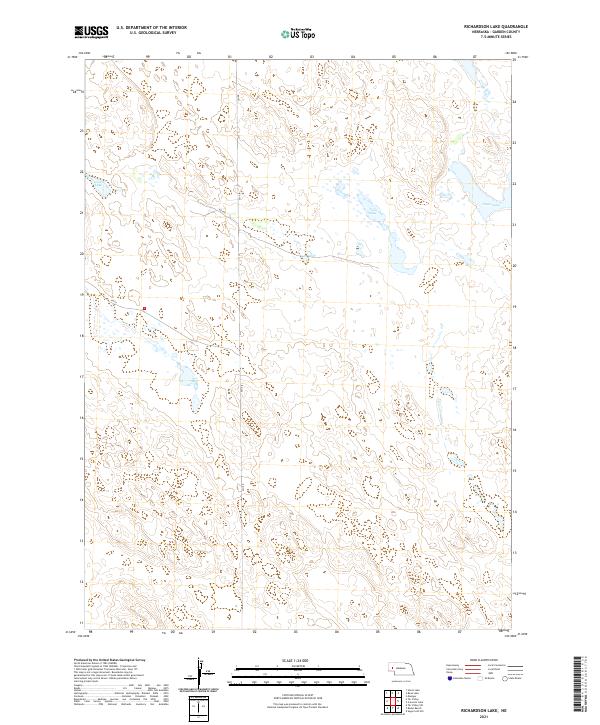 2021 Richardson Lake2021 Print · USGSGarden County in the early 2020s remains a landscape of expansive Sandhills wetlands and remote ranching roads. Researchers can trace the hydrologic patterns of Swan Lake, Horse Lake, and Twin Lake along the rural corridors of RD 155.
 - 2021 Map of Bean Lake, 2021 Print
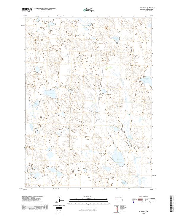 2021 Bean Lake2021 Print · USGSGarden County's wetland-dotted Sandhills are captured here in the early twenty-first century. Researchers can trace land use and water features through family-named sites like Ramelli Slough, Old Ladys Lake, and Pyle Lake.
 - 2021 Map of Sugar Loaf Hill, 2021 Print
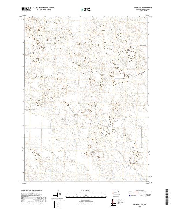 2021 Sugar Loaf Hill2021 Print · USGSGarden County ranchlands are captured in this recent survey of the Nebraska sandhills. Researchers can trace rural routes and landmarks such as Sugar Loaf Hill, Dogtown Flats, and the course of Mutton Cr.
 - 2021 Map of Chappell NW, 2021 Print
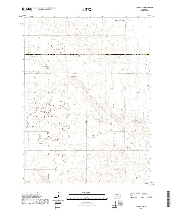 2021 Chappell NW2021 Print · USGSDeuel and Garden Counties meet in this Nebraska panhandle landscape during the early 2020s, showing a high plains territory defined by its complex drainage systems. Genealogists and researchers can trace the modern road grid across Ash Hollow and Walrath Draw.
 - 2021 Map of Curry Lake, 2021 Print
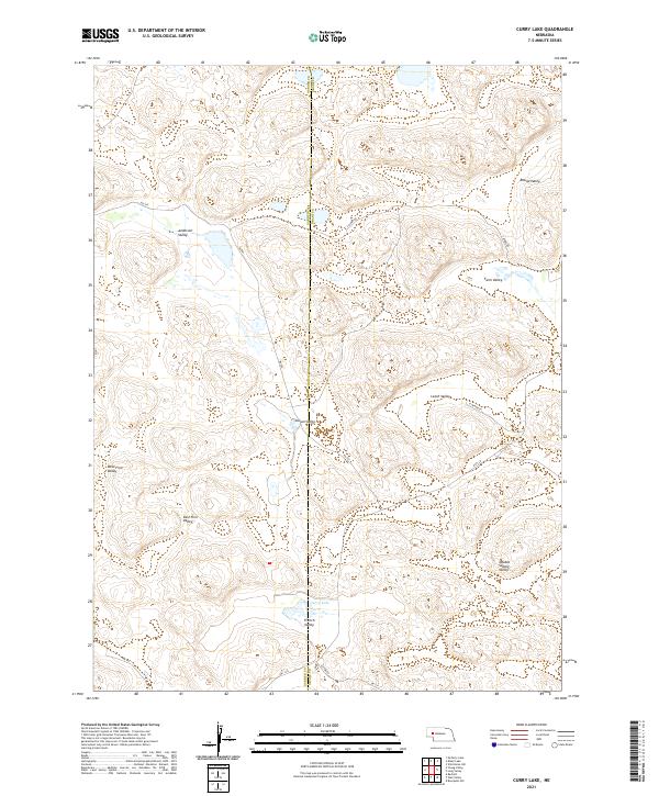 2021 Curry Lake2021 Print · USGSThe Nebraska Sandhills come into focus here during the early twenty-first century, revealing a landscape defined by its many named lowlands. Researchers can trace the layout of Curry Lake and local routes like S Ashby Rd through Anderson Valley and Leech Valley.
 - 2021 Map of Tar Valley, 2021 Print
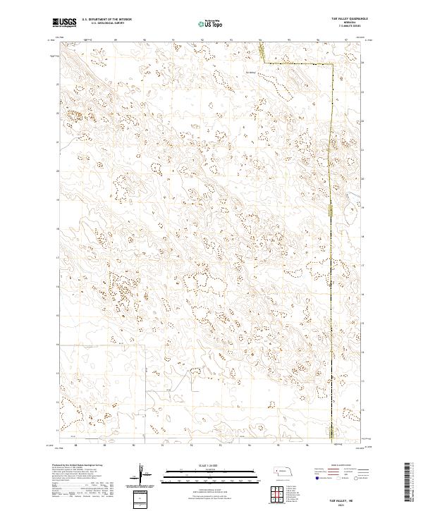 2021 Tar Valley2021 Print · USGSWestern Nebraska land divisions and high plains topography are documented here in the early twenty-first century. Genealogists and land researchers can trace property lines and rural routes like Rd 88 and Rd 139 near the Morrill and Garden County line.
 - 2021 Map of Mount Vernon, 2021 Print
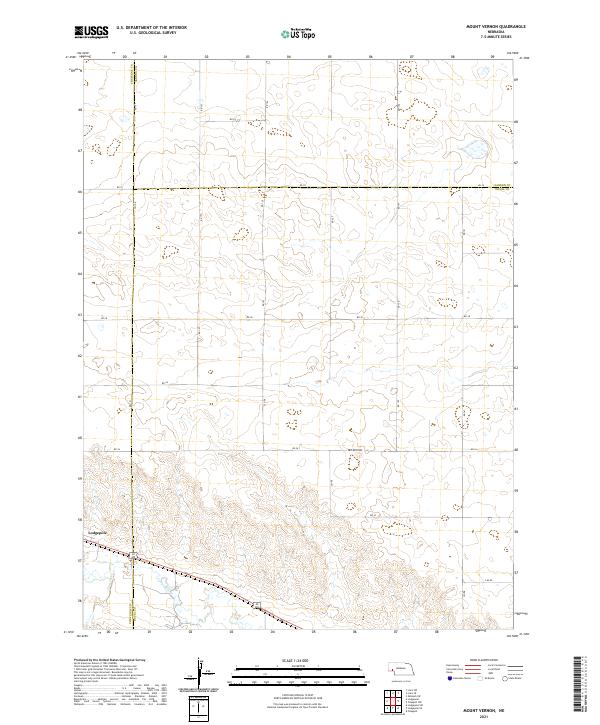 2021 Mount Vernon2021 Print · USGSThe high plains of the Nebraska Panhandle are captured here in the early twenty-first century, spanning the borders of Deuel, Cheyenne, and Garden counties. Researchers can trace the path of Lodgepole Cr and locate rural landmarks like Mt Vernon and Lodgepole.
 - 2021 Map of Crescent Lake, 2021 Print
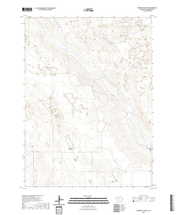
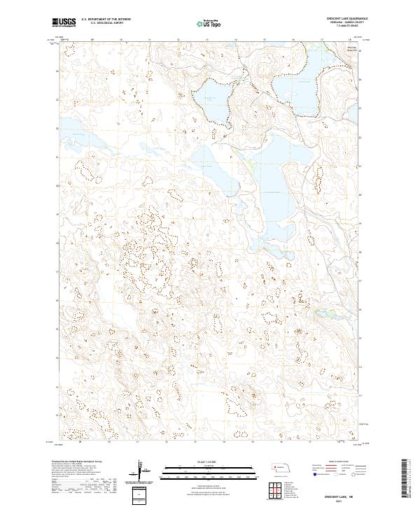 2021 Crescent Lake2021 Print · USGSGarden County's intricate wetland basins are captured here during the early 2020s, showcasing the unique hydrology of the Sandhills. Researchers can trace the complex shorelines of Crescent Lake and Island Lake or locate family-named landmarks like Old Lady Beam Hill.
 - 2021 Map of Lewellen, 2021 Print
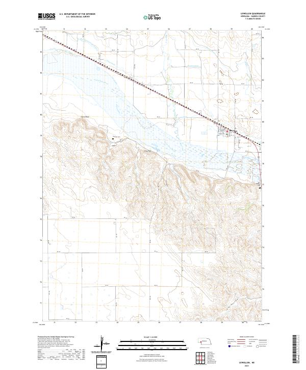 2021 Lewellen2021 Print · USGSGarden County agriculture and the river valley are on full display in the early 2020s. Genealogists and historians can trace local landmarks like Durham Cem, the rugged Ash Hollow, and irrigation networks including the Union Canal and Hooper Canal.
 - 2021 Map of Deer Lake, 2021 Print
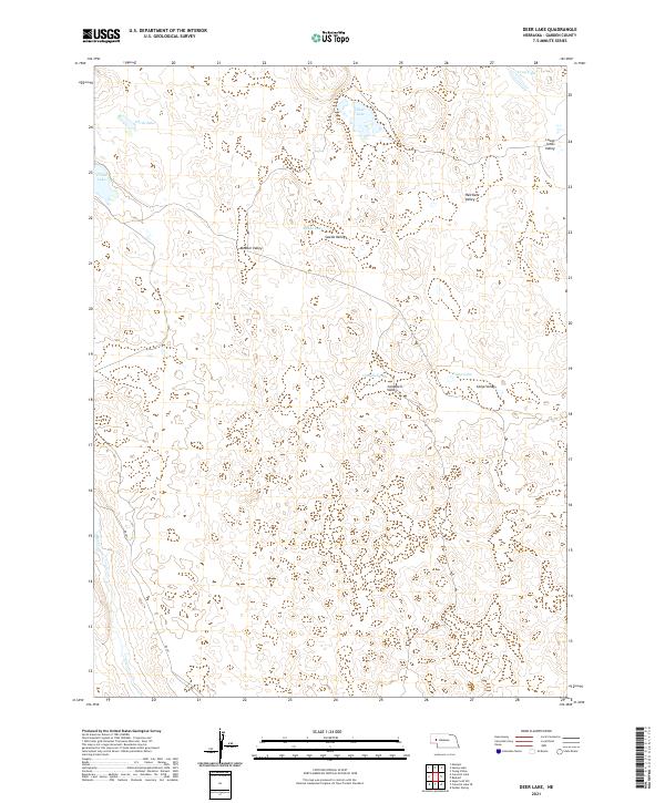 2021 Deer Lake2021 Print · USGSGarden County's central lakes region is captured here in the early twenty-first century, showing a landscape of scattered water bodies and named valleys. Genealogists and researchers can trace local family landmarks such as Meeker Valley, Swede Valley, and Red Kate Valley.
 - 2021 Map of Rackett, 2021 Print
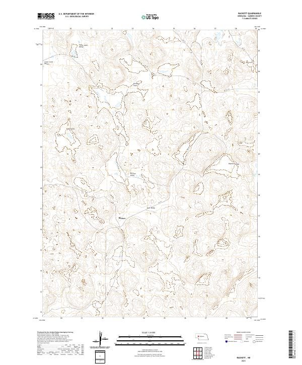 2021 Rackett2021 Print · USGSGarden County's cattle country and sandhills are captured here in the early twenty-first century, centered on the small settlement of Rackett. Local historians can trace the reach of family-named terrain like Wymore Valley, Adams Flats, and Bennett Valley.
 - 2021 Map of Buske Ranch, 2021 Print
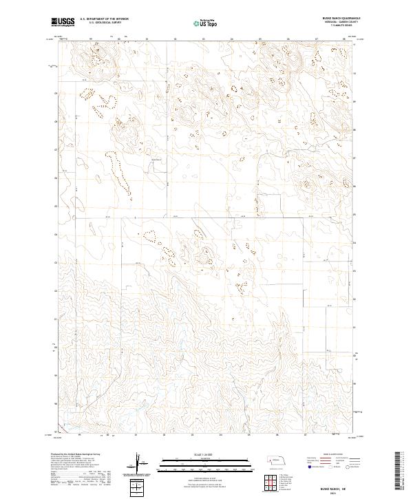 2021 Buske Ranch2021 Print · USGSGarden County ranching country is captured here in the early 2020s, showing the vast township grids that define the Nebraska panhandle. Genealogists and researchers can trace local landmarks like Buske Ranch and water features such as Coldwater Cr and the Lisco Canal.
 - 2021 Map of Rackett SE, 2021 Print
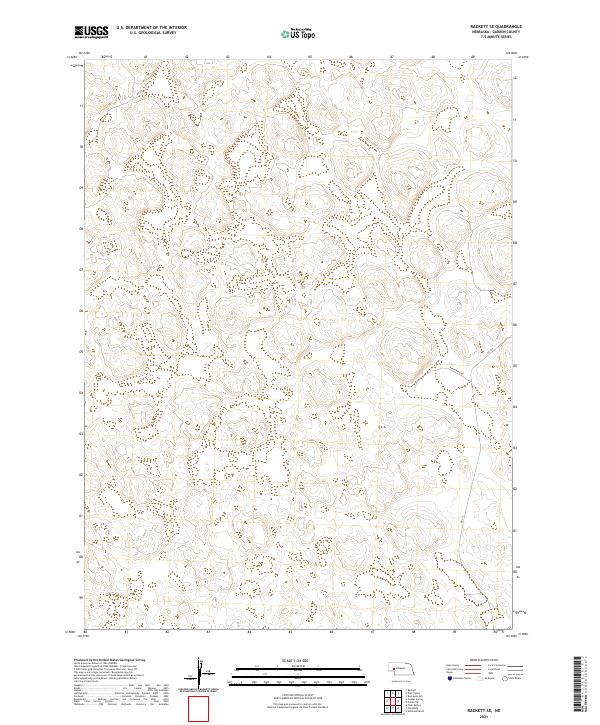 2021 Rackett SE2021 Print · USGSGarden County ranching country is captured here in the early 2020s, showing the high-plains terrain of the Nebraska Sandhills. Researchers can trace the path of Rushcreek Rd and Rd 215 across the grids of T18N R41W and neighboring townships.
 - 2021 Map of Gusher Spring, 2021 Print
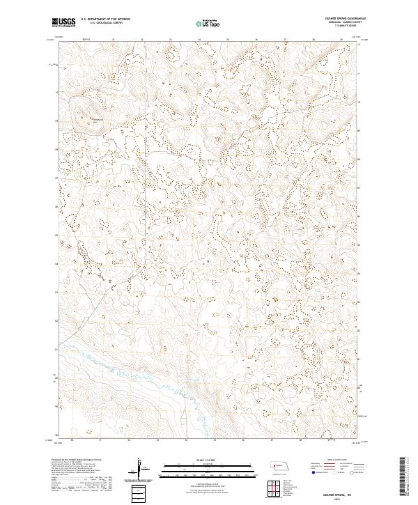 2021 Gusher Spring2021 Print · USGSGarden County ranching country is captured in the early 2020s, showing a landscape defined by water and wind. Researchers can trace the path of Blue Creek and locate family landmarks like Wildhorse Hill and the remote Gusher Spring.
 - 2021 Map of Big Springs NW, 2021 Print
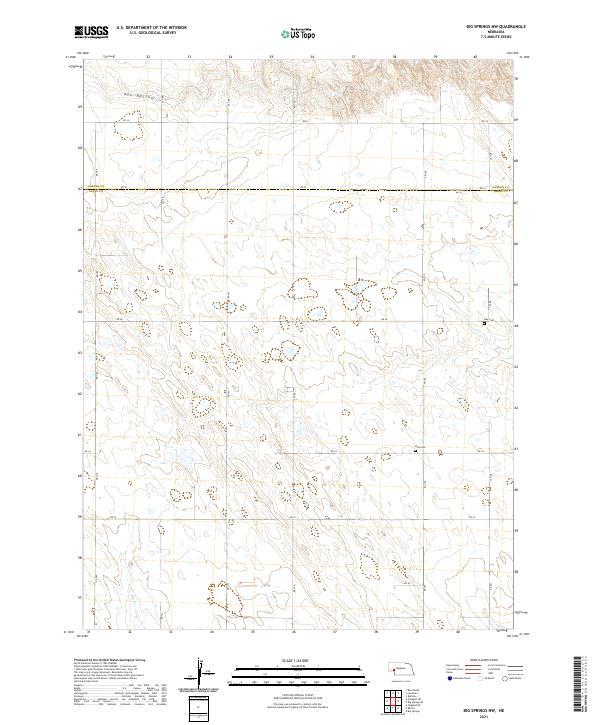 2021 Big Springs NW2021 Print · USGSDeuel County's high-plains landscape is captured in the early 2020s, showing a remote region organized by a strict grid of section roads. Genealogists and local historians can locate rural burial sites like Zion Cem and Day Cem near the prominent Ash Hollow.
 - 2021 Map of Big Springs NE, 2021 Print
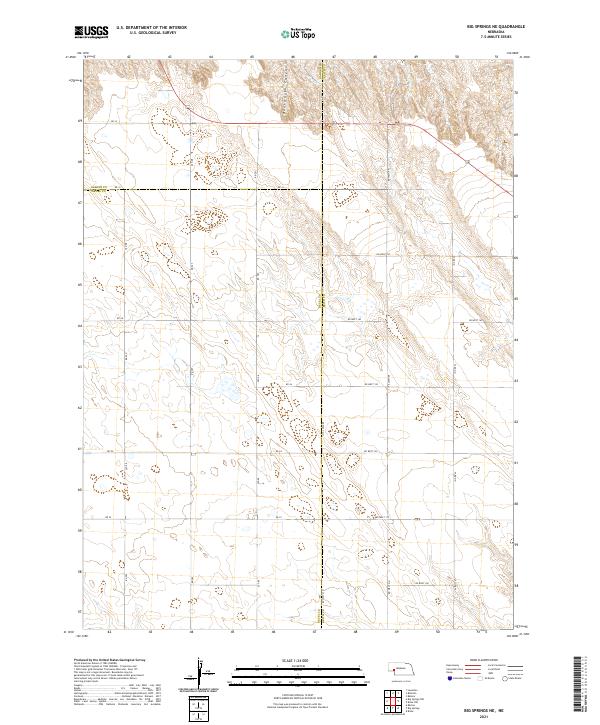 2021 Big Springs NE2021 Print · USGSWestern Nebraska's panhandle is mapped here in the early twenty-first century, showing the intersection of three counties in a vast agricultural grid. Researchers can trace land boundaries and rural routes like RD 34 near the head of Dankworth Canyon.
 - 2021 Map of Velma SW, 2021 Print
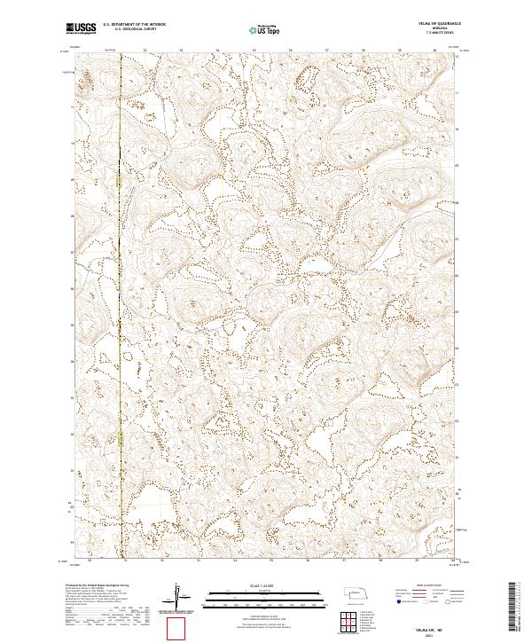 2021 Velma SW2021 Print · USGSThe Nebraska Sandhills near the turn of the twenty-first century remain a landscape of vast dunes and remote ranching routes. Genealogists and local historians can trace the boundary of Garden Co Arthur Co and find landmarks like Carlholm Dr and Valentine Rd.
 - 2021 Map of Crescent Lake SE, 2021 Print
 2021 Crescent Lake SE2021 Print · USGSGarden County's sandhills and creek valleys are captured here in the early twenty-first century. Researchers can locate the Kingery Cem or trace the winding course of Blue Cr through Dogtown Flats and Antelope Valley.
 - 2021 Map of Twin Buttes, 2021 Print
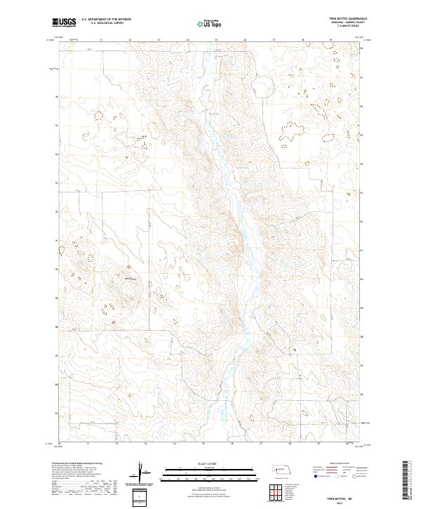 2021 Twin Buttes2021 Print · USGSGarden County ranchlands are revealed in this modern survey of the Nebraska high plains. Researchers can trace historic water rights and land use through the paths of the Hooper Canal, Rattlesnake Spring, and the prominent landmarks of Twin Buttes.
 - 2021 Map of Schoonover Lake, 2021 Print
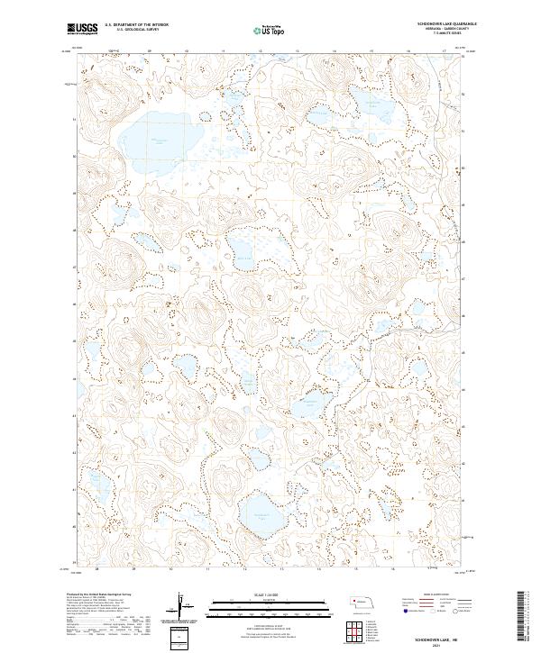 2021 Schoonover Lake2021 Print · USGSGarden County's lake-strewn landscape is captured in this contemporary survey, showing the Nebraska Sandhills before recent climate shifts. Researchers can trace the positioning of Schoonover Lake, Sandbeach Lake, and Stockholm Lake along rural routes like Lakeside Rd.
 - 2021 Map of Old Baldy, 2021 Print
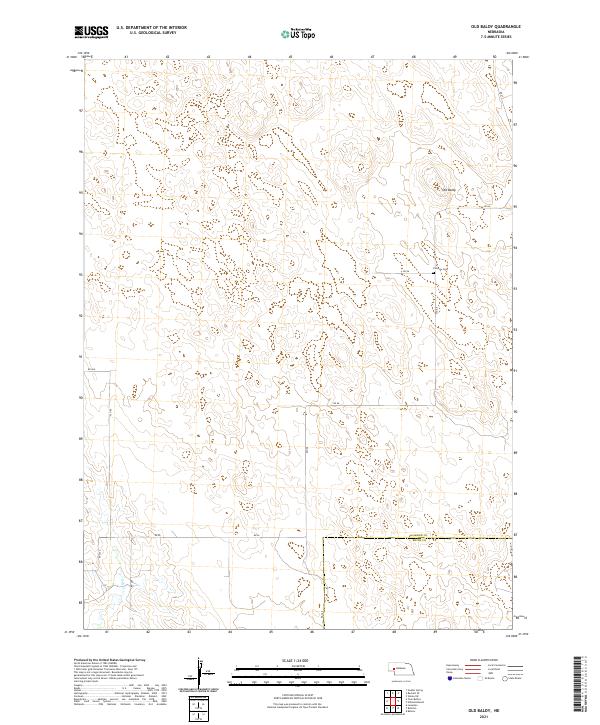 2021 Old Baldy2021 Print · USGSWestern Nebraska ranching country is documented here in the early twenty-first century, showing the remote high-plains terrain near the Keith County line. Family historians can locate the Fairview Cem or trace rural routes like Rd 215 near the peak of Old Baldy.
 - 2021 Map of Lisco, 2021 Print
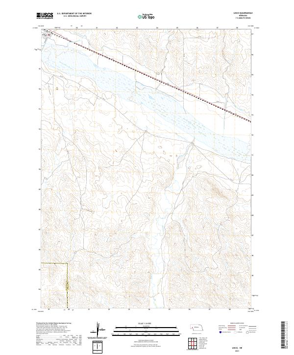 2021 Lisco2021 Print · USGSIn the valley of the North Platte River during the early 2020s, this area shows the vital irrigation infrastructure of the Nebraska panhandle. Researchers can trace the path of the Lisco Canal through Lisco and locate the county line at Cheyenne Co Garden Co.
 - 2021 Map of Storm Lake, 2021 Print
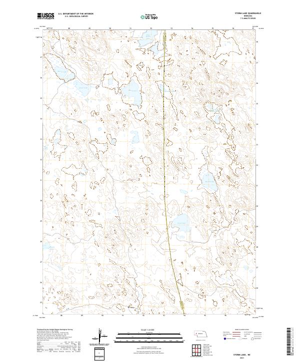 2021 Storm Lake2021 Print · USGSThe Nebraska Sandhills on the Morrill and Garden County line appear in this modern survey as a world of isolated basins and ranch land. Researchers can trace the hydrology of Storm Lake, Sand Lake, and the landform known as Tar Valley.
Showing maps 1-25 of 49
Top cities of Garden County
Frequently asked questions
- What are the different types of historical maps available for Garden County?
- What is the oldest map of Garden County?
- Where can I purchase historical maps of Garden County for my home or office?
- Where can I download high-res historical maps of Garden County?
- Are there historical topographic maps available for Garden County?
- Is there historical aerial imagery available for Garden County?
- Where are historical maps of Garden County sourced from?