Old Maps of Rackett, Nebraska for Hiking & Exploration
Hike through history with 10 historic maps of Rackett. Explore old trails, ghost towns, and forgotten backroads — perfect for outdoor adventurers and local explorers.
- Rediscover forgotten places: Map out old mining camps, roads, and footpaths that no longer exist on modern maps.
- Layer with modern tools: Combine with LiDAR or satellite views to plan hikes through historical terrain.
- Made for exploration: Popular among hikers, overlanders, and local history lovers.
Use these maps to find adventure and explore the hidden past of Rackett.
Rackett, NE maps
(10)- 1949 Map of Rackett, 1976 Print
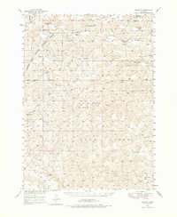 1949 Rackett1976 Print · USGSGarden County ranching country is documented here in the late 1940s, showing the intersection of private cattle lands and the Crescent Lake National Wildlife Refuge. Family historians can locate isolated outposts like Hisel Ranch and several rural schoolhouses, including Well Valley Sch and School No 31.
 - 1951 Map of Rackett
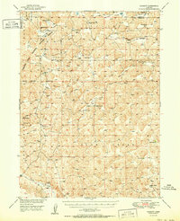 1951 Rackett1951 Print · USGSGarden County ranching and the Sandhills frontier are preserved here just after the war, showing the isolated homesteads and school districts of central Nebraska. Genealogists can trace family holdings like Rounsburg Ranch and Smith Ranch or locate vanished landmarks like Well Valley Sch.2 unique versions available
 - 1954 Map of Scottsbluff, 1958 Print
 1954 Scottsbluff1958 Print · USGSThe Nebraska Panhandle's iconic landmarks and rail corridors are captured here during the mid-1950s. Researchers can trace the path of the North Platte River past Chimney Rock or locate the sprawling Sioux Ordnance Depot and the historic streets of Sidney.3 unique versions available
 - 1958 Map of Scottsbluff
 1958 Scottsbluff1958 Print · USGSThe Nebraska panhandle in the late fifties was a vital corridor of rail-and-river transport defined by the North Platte River and the Union Pacific. Genealogists and historians can trace rail stops like Reddus Station, explore the grounds of the Sioux Ordnance Depot, or locate landmarks like Chimney Rock.2 unique versions available
 - 1985 Map of Crescent Lake, 1986 Print
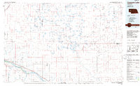 1985 Crescent Lake1986 Print · USGSThe Nebraska Sandhills come into sharp focus in the mid-1980s, centered on the wetlands of Garden County and the North Platte River valley. Researchers can trace the Union Pacific rail line through Broadwater and Lisco, or explore the many named basins within the Crescent Lake National Wildlife Refuge.2 unique versions available
 - 1986 Map of Rackett
 1986 Rackett1986 Print · USGSGarden County ranching country is captured here during the mid-1980s, showcasing the intersection of private cattle lands and protected wilderness. Local historians can trace the boundaries of Crescent Lake National Wildlife Refuge and locate remote outposts like Rackett and Jensen Ranch.
 - 2011 Map of Rackett, 2011 Print
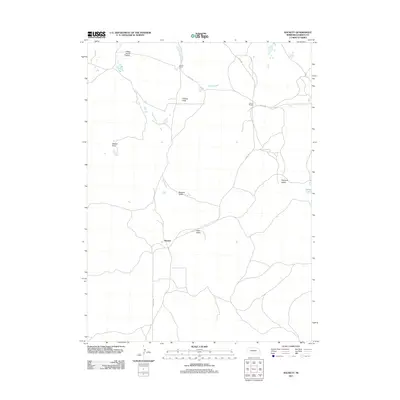 2011 Rackett2011 Print · USGSCovers Rackett, including Garden County, United States, and other nearby areas
 - 2014 Map of Rackett, 2014 Print
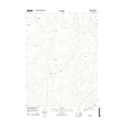 2014 Rackett2014 Print · USGSCovers Rackett, including Garden County, United States, and other nearby areas
 - 2017 Map of Rackett, 2017 Print
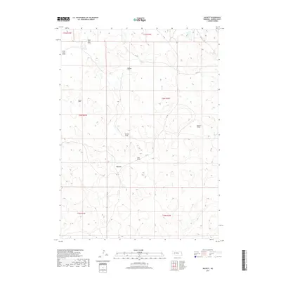 2017 Rackett2017 Print · USGSCovers Rackett, including Garden County, United States, and other nearby areas
 - 2021 Map of Rackett, 2021 Print
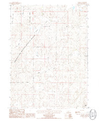
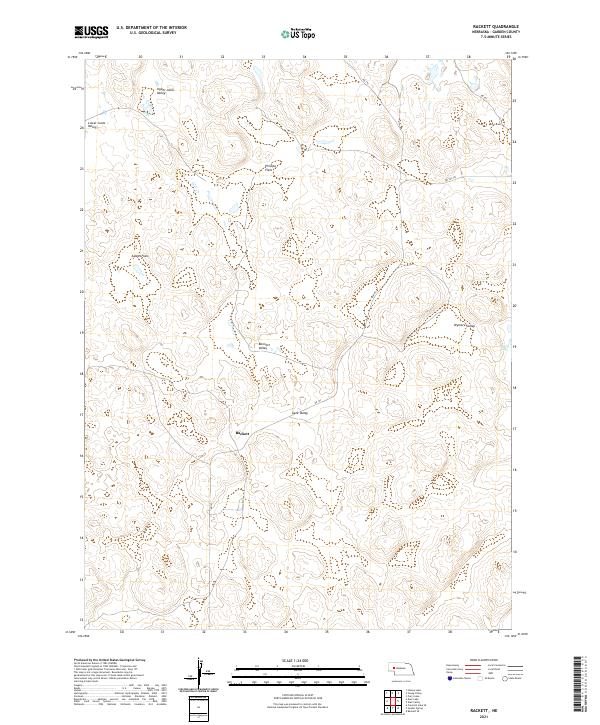 2021 Rackett2021 Print · USGSGarden County's cattle country and sandhills are captured here in the early twenty-first century, centered on the small settlement of Rackett. Local historians can trace the reach of family-named terrain like Wymore Valley, Adams Flats, and Bennett Valley.
End of results
Showing maps 1-10 of 10
Frequently asked questions
- What are the different types of historical maps available for Rackett?
- What is the oldest map of Rackett?
- Where can I purchase historical maps of Rackett for my home or office?
- Where can I download high-res historical maps of Rackett?
- Are there historical topographic maps available for Rackett?
- Is there historical aerial imagery available for Rackett?
- Where are historical maps of Rackett sourced from?