Old Maps of O'Connor, Nebraska for Genealogy
Trace your family roots with 8 historic maps of O'Connor. These high-res maps reveal old neighborhoods, homesites, landmarks, and streets — helping you uncover where your ancestors lived and how the area evolved over time.
- Explore historic neighborhoods: Identify where your relatives may have lived in the 1800s or 1900s.
- Compare maps over time: Trace the changes in streets, buildings, and landmarks for multi-generational research.
- Perfect for genealogy & ancestry research: Used by family historians and researchers to map out lineage and migration.
These maps are an incredible resource for exploring your personal connection to O'Connor's past.
O'Connor, NE maps
(8)- 1954 Map of Spalding SW, 1956 Print
 1954 Spalding SW1956 Print · USGSGreeley County agricultural life is preserved here in the mid-fifties, showing a landscape defined by its rural school districts and creek valleys. Genealogists can trace family roots near O'Connor or locate old school sites like Barry Sch and the Hilltop Sch.2 unique versions available
 - 1955 Map of Broken Bow
 1955 Broken Bow1955 Print · USGSCentral Nebraska in the mid-fifties is defined by the sweeping Sand Hills and the vital river valleys that supported its ranching and rail towns. Researchers can trace the rail corridors of the Union Pacific RR and locate settlements like Dannebrog, Broken Bow, and Brewster.5 unique versions available
 - 1956 Map of Broken Bow
 1956 Broken Bow1956 Print · USGSCentral Nebraska during the mid-fifties reveals a region defined by its river-valley railroads and the rolling Sand Hills. Genealogists and local historians can trace the paths of the Chicago Burlington and Quincy through towns like Broken Bow, Merna, and Anselmo.
 - 1985 Map of Ord
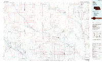 1985 Ord1985 Print · USGSCentral Nebraska's river valleys were defined by the rail and irrigation networks of the mid-1980s. Genealogists can trace family roots in towns like Ord and Albion or locate landmarks like Pilot Knob and the Pibel Lake State Recreation Area.2 unique versions available
 - 2011 Map of Spalding SW, 2011 Print
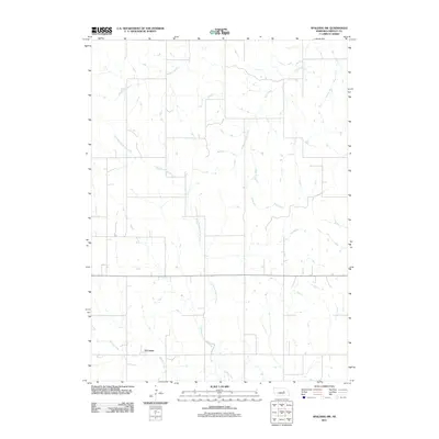 2011 Spalding SW2011 Print · USGSGreeley County agricultural lands and watercourses are captured in this 2011 survey during a period of modern rural stability. Researchers can trace the drainage patterns of East Branch Spring Creek and Troy Creek, or locate the small settlement of O'Connor.
 - 2014 Map of Spalding SW, 2014 Print
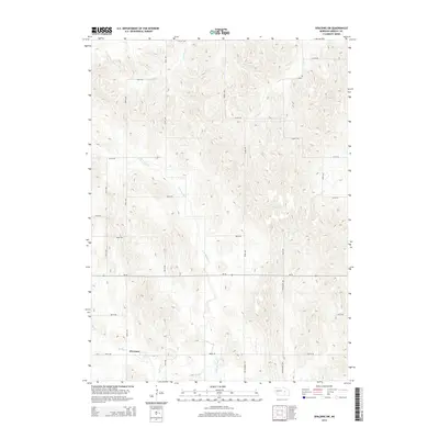 2014 Spalding SW2014 Print · USGSGreeley County agricultural lands and the drainage of the Loup River system are captured here in the early twenty-first century. Genealogists and local historians can trace the vicinity of O'Connor and follow the paths of Old Highway 101 and Spring Cr across the prairie.
 - 2017 Map of Spalding SW, 2017 Print
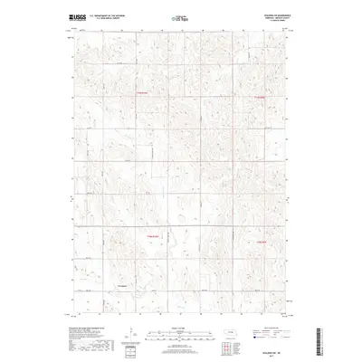 2017 Spalding SW2017 Print · USGSThe rural landscape near O'Connor is defined by its deep prairie drainages and rigid section-line roads as they appeared in the late 2010s. Researchers can trace the path of Spring Cr and follow the routes of Old Hwy 101 or Stringtown Ave across the county.
 - 2021 Map of Spalding SW, 2021 Print
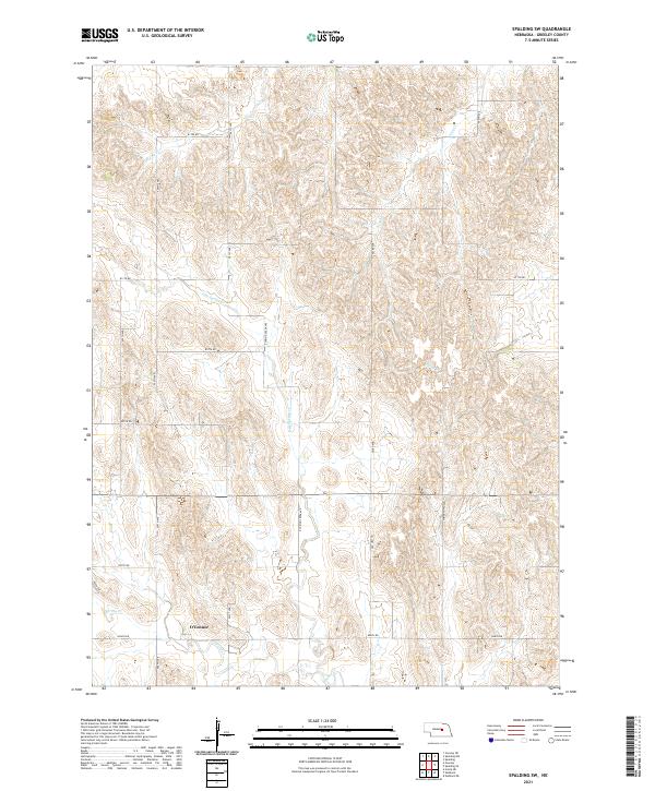 2021 Spalding SW2021 Print · USGSGreeley County in the early twenty-first century is captured here as a landscape of structured agricultural sections and winding prairie creeks. Genealogists and local historians can trace the area around O'Connor or follow the paths of Spring Cr and Troy Cr.
End of results
Showing maps 1-8 of 8
Top cities near O'Connor
- Spalding historical maps
- Greeley Center historical maps
- Scotia historical maps
- Wolbach historical maps
- Elba historical maps
- Cotesfield historical maps
See more
Frequently asked questions
- What are the different types of historical maps available for O'Connor?
- What is the oldest map of O'Connor?
- Where can I purchase historical maps of O'Connor for my home or office?
- Where can I download high-res historical maps of O'Connor?
- Are there historical topographic maps available for O'Connor?
- Is there historical aerial imagery available for O'Connor?
- Where are historical maps of O'Connor sourced from?