Old Maps of Aurora, Nebraska for Genealogy
Trace your family roots with 31 historic maps of Aurora. These high-res maps reveal old neighborhoods, homesites, landmarks, and streets — helping you uncover where your ancestors lived and how the area evolved over time.
- Explore historic neighborhoods: Identify where your relatives may have lived in the 1800s or 1900s.
- Compare maps over time: Trace the changes in streets, buildings, and landmarks for multi-generational research.
- Perfect for genealogy & ancestry research: Used by family historians and researchers to map out lineage and migration.
These maps are an incredible resource for exploring your personal connection to Aurora's past.
Aurora, NE maps
(31)- 1898 Map of York
 1898 York1898 Print · USGSIn the late 1890s, the Nebraska plains were defined by a massive expansion of competing rail lines and growing farm towns. Trace the early township grids and historic rail hubs like York, Sutton, and the river crossing at McCool.4 unique versions available
 - 1898 Map of Grand Island
 1898 Grand Island1898 Print · USGSCentral Nebraska is captured in the late 1890s as a bustling rail and agricultural crossroads centered on the Platte River. Genealogists and historians can trace early settlements like Doniphan and Harvard or the grounds of the Insane Asylum outside Hastings.4 unique versions available
 - 1899 Map of York, 1922 Print
 1899 York1922 Print · USGSSoutheast Nebraska was a burgeoning hub of rail and river commerce in the 1890s as homesteads solidified into permanent townships. Genealogists can trace family roots through early rail stops like Saronville, Lushton, and the county seats of York and Geneva.
 - 1955 Map of Lincoln, 1967 Print
 1955 Lincoln1967 Print · USGSSoutheast Nebraska in the mid-fifties presents a landscape of thriving railroad towns and the expanding footprint of the capital city. Researchers can trace the legacy of the pioneer era at the Homestead National Monument of America or locate mid-century military infrastructure like Lincoln Air Force Base.5 unique versions available
 - 1955 Map of Grand Island, 1967 Print
 1955 Grand Island1967 Print · USGSCentral Nebraska is seen here during a period of industrial and agricultural growth, centered on the vital Platte River corridor. Researchers can trace the mid-century footprints of the U S Naval Ammunition Depot and the Cornhusker Ordnance Plant.3 unique versions available
 - 1957 Map of Lincoln
 1957 Lincoln1957 Print · USGSSoutheastern Nebraska at mid-century shows a landscape of thriving rail towns and expanding infrastructure centered on Lincoln. Researchers can trace the path of the Chicago Burlington and Quincy railroad through communities like Weeping Water, Fairmont, and Seward.
 - 1957 Map of Grand Island
 1957 Grand Island1957 Print · USGSCentral Nebraska and Northern Kansas are shown here during a period of massive hydraulic and military expansion in the mid-fifties. Researchers can trace the development of the Harlan County Reservoir and the massive wartime legacy of the Cornhusker Ordnance Plant.
 - 1958 Map of Grand Island
 1958 Grand Island1958 Print · USGSSouth-central Nebraska thrived as a rail and industrial hub during the late fifties, shaped by the braided Platte River. Genealogists and historians can trace rail lines like the Union Pacific RR through towns such as Kearney or locate the sprawling Cornhusker Ordnance Plant.
 - 1958 Map of Lincoln
 1958 Lincoln1958 Print · USGSSoutheast Nebraska at the end of the 1950s shows a region defined by agricultural trade and the expansion of the state capital. Genealogists can trace family footprints across the Blue Valley and locate landmarks like the Lincoln AFB or the U.S. Veterans Hospital.
 - 1968 Map of Aurora West, 1971 Print
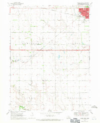 1968 Aurora West1971 Print · USGSHamilton County farmland and the town of Aurora are captured here in the late sixties. Genealogists and local historians can trace the rural landscape through landmarks like Pleasant View Ch, Prairie Gem Cem, and the Miller Sch.2 unique versions available
 - 1968 Map of Aurora East, 1971 Print
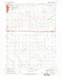 1968 Aurora East1971 Print · USGSHamilton County agriculture and infrastructure are captured here in the late sixties as the interstate era arrives. Genealogists can locate Hampton Cem and Yost Cem, while tracing the Chicago and North Western rail line.
 - 1968 Map of Hampton, 1971 Print
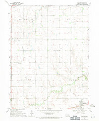 1968 Hampton1971 Print · USGSHampton and the surrounding Nebraska townships are captured here in the late sixties as the agricultural grid matured. Genealogists can locate family landmarks like St Johns Ch, Lincoln Valley Cem, and the path of the C B & Q railroad line.
 - 1969 Map of Murphy, 1971 Print
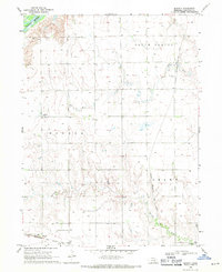 1969 Murphy1971 Print · USGSHamilton County farming communities thrived along the railroad during the late sixties as irrigation transformed the Nebraska plains. Genealogists and local historians can locate early burial sites at Siloa Cem and Richland Cem, or trace the tracks of the Chicago Burlington and Quincy through the town of Murphy.
 - 1985 Map of York
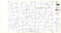 1985 York1985 Print · USGSSoutheast Nebraska in the mid-1980s shows a landscape of productive plains and vital transport corridors along the Burlington Northern line. Trace the history of local institutions like Concordia Teachers College and find family sites at Greenwood Cem or Thayer Cem.2 unique versions available
 - 1985 Map of Grand Island
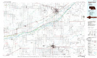 1985 Grand Island1985 Print · USGSThe Platte River valley in the mid-eighties shows a landscape of braided river channels and massive military-industrial sites. Trace the layout of the Cornhusker Ordnance Plant and find family landmarks like Parkview Cem or Good Samaritan Village.2 unique versions available
 - 2011 Map of Hampton, 2011 Print
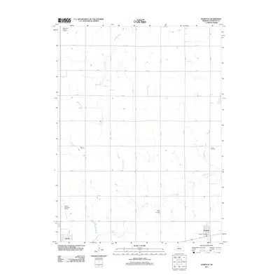 2011 Hampton2011 Print · USGSHamilton County agricultural lands and the town of Hampton are detailed here during the early twenty-first century. Researchers can locate local landmarks including Salem Cemetery, Lincoln Valley Cemetery, and the Big Blue River.
 - 2011 Map of Aurora East, 2011 Print
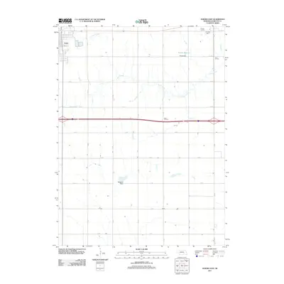 2011 Aurora East2011 Print · USGSThe eastern edge of Aurora and the surrounding Hamilton County farmland are captured here in the early twenty-first century. Genealogists and local researchers can pinpoint family burial sites at Salem Cemetery, Youst Cemetery, and Hampton Cemetery among the grid of county roads.
 - 2011 Map of Murphy, 2011 Print
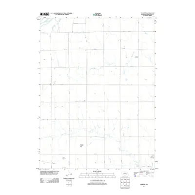 2011 Murphy2011 Print · USGSHamilton County farmland and the outskirts of Aurora are captured here in the early twenty-first century. Genealogists and local historians can locate Richland Cemetery, Siloa Cemetery, and private airfields like the Hanson Landing Strip.
 - 2011 Map of Aurora West, 2011 Print
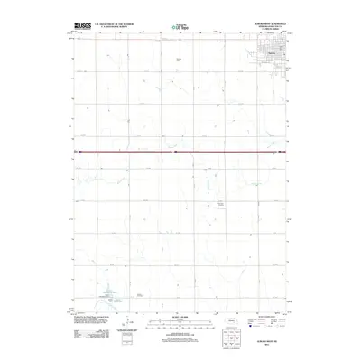 2011 Aurora West2011 Print · USGSAurora and its rural western hinterlands are shown here in the early 2000s, where the Nebraska prairie is defined by section roads and winding creeks. Genealogists and local historians can locate Prairie Gem Cemetery, Seaton Cemetery, and the outskirts of Aurora.
 - 2014 Map of Aurora West, 2014 Print
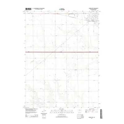 2014 Aurora West2014 Print · USGSHamilton County agriculture and the town of Aurora are captured in the early twenty-first century as the plains undergo modern development. Genealogists can locate Prairie Gem Cem and Seaton Cem, while water-management researchers can trace the Kostal Reservoir.
 - 2014 Map of Hampton, 2014 Print
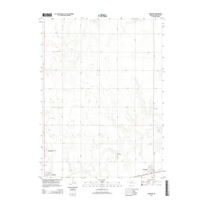 2014 Hampton2014 Print · USGSHamilton County farming communities and section-line roads define this prairie landscape in the early 2010s. Researchers can trace the exact locations of rural cemeteries like Lincoln Valley Cem and Salem Cem alongside the Big Blue River and Lincoln Cr.
 - 2014 Map of Aurora East, 2014 Print
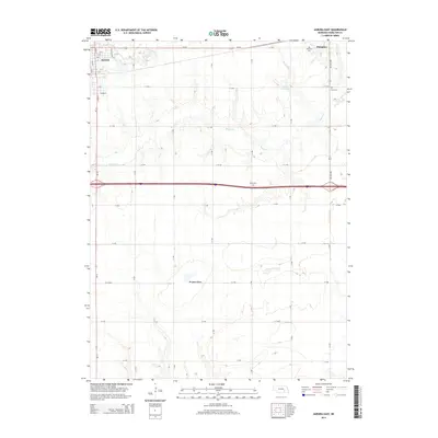 2014 Aurora East2014 Print · USGSHamilton County agricultural lands and the eastern expansion of Aurora are captured in the early 21st century. Genealogists and local historians can locate family burial sites at Hampton Cem, Youst Cem, and Salem Cem or trace the course of Beaver Cr.
 - 2014 Map of Murphy, 2014 Print
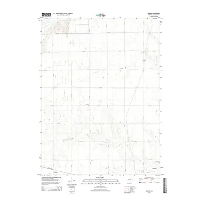 2014 Murphy2014 Print · USGSHamilton County prairie land is captured here in the early twenty-first century, showing the rural structure around the city of Aurora. Genealogists can trace family footprints through the locations of Richland Cem, Siloa Cem, and the village of Murphy.
 - 2017 Map of Murphy, 2017 Print
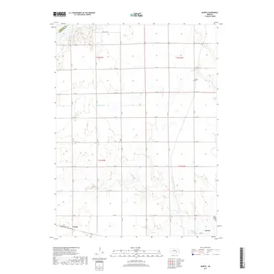 2017 Murphy2017 Print · USGSHamilton County farmland and the outskirts of Aurora are captured in this modern survey of south-central Nebraska. Genealogists and local historians can trace rural property boundaries and locate significant burial sites like Richland Cem, Siloa Cem, and Murphy.
 - 2017 Map of Aurora West, 2017 Print
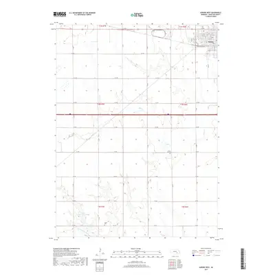 2017 Aurora West2017 Print · USGSHamilton County farmland and the westward expansion of Aurora are documented in this recent survey. Researchers can trace rural lineages at Prairie Gem Cem and Seaton Cem or locate the Kostal-Hawthorne Dam along the prairie creeks.
Showing maps 1-25 of 31
Top cities near Aurora
- Henderson historical maps
- Harvard historical maps
- Hampton historical maps
- Giltner historical maps
- Phillips historical maps
- Chapman historical maps
See more
Frequently asked questions
- What are the different types of historical maps available for Aurora?
- What is the oldest map of Aurora?
- Where can I purchase historical maps of Aurora for my home or office?
- Where can I download high-res historical maps of Aurora?
- Are there historical topographic maps available for Aurora?
- Is there historical aerial imagery available for Aurora?
- Where are historical maps of Aurora sourced from?