Old Maps of Marquette, Nebraska for Academic Research
Study the evolution of Marquette with 9 high-resolution historic maps. Whether you're teaching, researching, or modeling changes in land use, these maps provide essential visual documentation of urban, environmental, and geographic change.
- Analyze long-term change: Track patterns in development, transportation, and natural features.
- Ideal for environmental or urban studies: Support academic projects with primary historical map data.
- Use in the classroom or lab: Educators and researchers rely on these maps to bring historical context to life.
These maps are a powerful tool for teaching, research, and visualizing how Marquette has changed over the decades.
Marquette, NE maps
(9)- 1899 Map of St. Paul
 1899 St. Paul1899 Print · USGSCentral Nebraska's river valleys and rail hubs are preserved here during the expansion of the late 1890s. Researchers can trace the development of St. Paul and Central City alongside curious landmarks like Mumpumpey Hill and the Burlington and Missouri River R. R.4 unique versions available
 - 1955 Map of Broken Bow
 1955 Broken Bow1955 Print · USGSCentral Nebraska in the mid-fifties is defined by the sweeping Sand Hills and the vital river valleys that supported its ranching and rail towns. Researchers can trace the rail corridors of the Union Pacific RR and locate settlements like Dannebrog, Broken Bow, and Brewster.5 unique versions available
 - 1956 Map of Broken Bow
 1956 Broken Bow1956 Print · USGSCentral Nebraska during the mid-fifties reveals a region defined by its river-valley railroads and the rolling Sand Hills. Genealogists and local historians can trace the paths of the Chicago Burlington and Quincy through towns like Broken Bow, Merna, and Anselmo.
 - 1962 Map of Central City West, 1963 Print
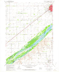 1962 Central City West1963 Print · USGSMerrick and Hamilton counties appear here in the early sixties as the rail-driven agricultural landscape of the Platte River valley reached its peak maturity. Genealogists and local historians can trace rural school districts from School No 8 to School No 3 and locate landmarks like Bushes Island and Paddock.2 unique versions available
 - 1985 Map of St. Paul
 1985 St. Paul1985 Print · USGSCentral Nebraska's river valleys and rail towns are captured here in the mid-eighties, showing the region's agricultural and cultural foundations. Researchers can trace historic communities like Dannebrog, Scotia, and Nysted, or locate landmarks such as Sherman Reservoir and Happy Jack Peak.2 unique versions available
 - 2011 Map of Central City West, 2011 Print
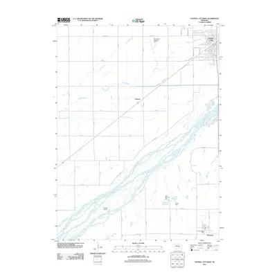 2011 Central City West2011 Print · USGSCovers Marquette, including Central City, Paddock, and other nearby areas
 - 2014 Map of Central City West, 2014 Print
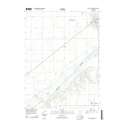 2014 Central City West2014 Print · USGSCovers Marquette, including Central City, Paddock, and other nearby areas
 - 2017 Map of Central City West, 2017 Print
 2017 Central City West2017 Print · USGSCovers Marquette, including Central City, Paddock, and other nearby areas
 - 2021 Map of Central City West, 2021 Print
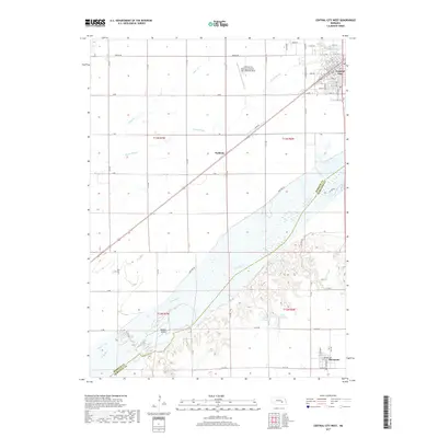
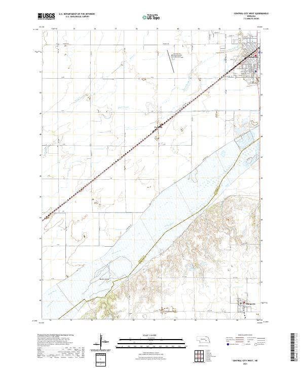 2021 Central City West2021 Print · USGSMerrick County is captured here at the start of the 2020s, centered on the rail hub of Central City and the wide Platte River. Researchers can trace the legacy of the Union Pacific line, the small settlement at Paddock, and islands like Bushes Island along the river channel.
End of results
Showing maps 1-9 of 9
Top cities near Marquette
- Aurora historical maps
- Central City historical maps
- Henderson historical maps
- Hampton historical maps
- Clarks historical maps
- Phillips historical maps
See more
Frequently asked questions
- What are the different types of historical maps available for Marquette?
- What is the oldest map of Marquette?
- Where can I purchase historical maps of Marquette for my home or office?
- Where can I download high-res historical maps of Marquette?
- Are there historical topographic maps available for Marquette?
- Is there historical aerial imagery available for Marquette?
- Where are historical maps of Marquette sourced from?