Old Maps of Weir, Nebraska for Hiking & Exploration
Hike through history with 9 historic maps of Weir. Explore old trails, ghost towns, and forgotten backroads — perfect for outdoor adventurers and local explorers.
- Rediscover forgotten places: Map out old mining camps, roads, and footpaths that no longer exist on modern maps.
- Layer with modern tools: Combine with LiDAR or satellite views to plan hikes through historical terrain.
- Made for exploration: Popular among hikers, overlanders, and local history lovers.
Use these maps to find adventure and explore the hidden past of Weir.
Weir, NE maps
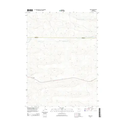
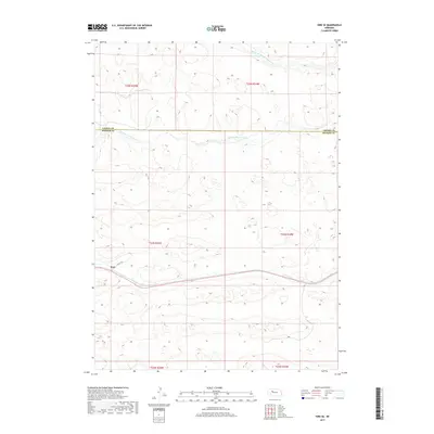
(9)- 1950 Map of Hire
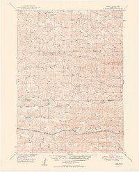 1950 Hire1950 Print · USGSThe Nebraska Sandhills come into focus in the early fifties, where the Loup River branches converge at the Cherry and Hooker county lines. Genealogists can locate rural institutions like Cox Sch and the siding at Weir along the Chicago Burlington and Quincy rail line.3 unique versions available
 - 1957 Map of Valentine, 1960 Print
 1957 Valentine1960 Print · USGSNorthern Nebraska's ranching country and the vast Sand Hills are detailed here in the late fifties. Genealogists and historians can locate numerous family-named landmarks like the Dahlgren Ranch and trace the path of the Chicago and North Western railroad through Valentine.3 unique versions available
 - 1959 Map of Valentine
 1959 Valentine1959 Print · USGSThe northern Nebraska Sand Hills are captured here in the late fifties, showcasing a vast ranching landscape shaped by the Niobrara and Loup rivers. Genealogists and historians can trace rail-town development along the Chicago and North Western and locate remote outposts like Brownlee or Kennedy.
 - 1985 Map of Mullen
 1985 Mullen1985 Print · USGSSettlement in the Nebraska Sandhills followed the rail and river corridors during the mid-twentieth century. Trace the Burlington Northern line through Mullen and Hyannis, or locate family-named landmarks like James Valley and Betsy Creek.2 unique versions available
 - 1987 Map of Hire SE, 1988 Print
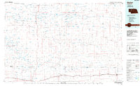
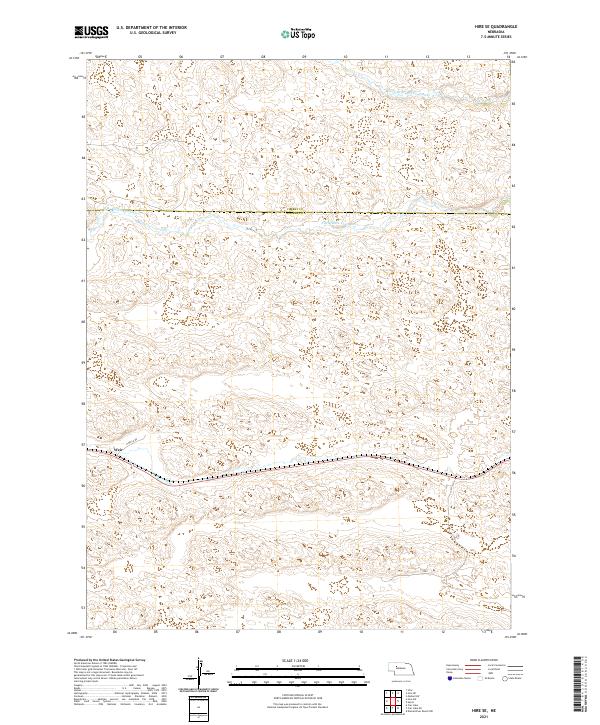
 1987 Hire SE1988 Print · USGSHooker and Cherry counties are captured in the late 1980s, showcasing the high Nebraska Sandhills at the confluence of the Middle Branch Middle Loup River and South Branch Middle Loup River. Trace the network of 4WD trails and find precise elevation markers like BM 3433.4 across this riverine landscape.
 - 2011 Map of Hire SE, 2011 Print
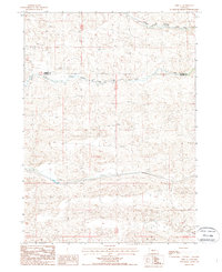
 2011 Hire SE2011 Print · USGSCovers Weir, including Hooker County, Cherry County, and other nearby areas
 - 2014 Map of Hire SE, 2014 Print
 2014 Hire SE2014 Print · USGSCovers Weir, including Hooker County, Cherry County, and other nearby areas
 - 2017 Map of Hire SE, 2017 Print
 2017 Hire SE2017 Print · USGSCovers Weir, including Hooker County, Cherry County, and other nearby areas
 - 2021 Map of Hire SE, 2021 Print
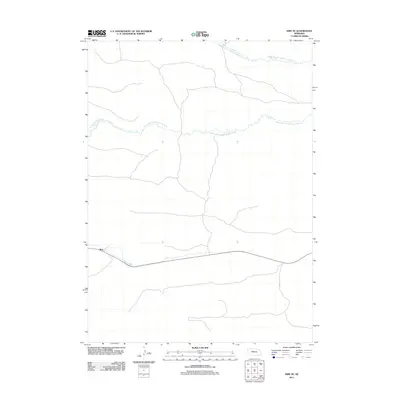
 2021 Hire SE2021 Print · USGSIn the Nebraska Sandhills during the early twenty-first century, the landscape is defined by the shifting waters of the Loup River system. Researchers can trace the path of the S Br Middle Loup River and the rural settlement of Weir near N Hecla Rd.
End of results
Showing maps 1-9 of 9
Frequently asked questions
- What are the different types of historical maps available for Weir?
- What is the oldest map of Weir?
- Where can I purchase historical maps of Weir for my home or office?
- Where can I download high-res historical maps of Weir?
- Are there historical topographic maps available for Weir?
- Is there historical aerial imagery available for Weir?
- Where are historical maps of Weir sourced from?