Old Maps of Cotesfield, Nebraska for Academic Research
Study the evolution of Cotesfield with 14 high-resolution historic maps. Whether you're teaching, researching, or modeling changes in land use, these maps provide essential visual documentation of urban, environmental, and geographic change.
- Analyze long-term change: Track patterns in development, transportation, and natural features.
- Ideal for environmental or urban studies: Support academic projects with primary historical map data.
- Use in the classroom or lab: Educators and researchers rely on these maps to bring historical context to life.
These maps are a powerful tool for teaching, research, and visualizing how Cotesfield has changed over the decades.
Cotesfield, NE maps
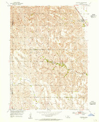
(14)- 1899 Map of Loup
 1899 Loup1899 Print · USGSCentral Nebraska at the end of the century was a land defined by its rivers and expanding rail lines. Genealogists can trace the early pioneer hubs of Dannebrog, Ashton, and Scotia along the Union Pacific RR.2 unique versions available
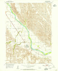
 - 1953 Map of Cotesfield, 1955 Print
 1953 Cotesfield1955 Print · USGSHoward and Sherman counties in the early fifties show a dense network of rural schools and Danish-influenced settlements. Genealogists can trace family sites near Dannevirke Cem or locate the rail-side infrastructure of Cotesfield and School No 29.2 unique versions available
 - 1953 Map of Elba, 1955 Print
 1953 Elba1955 Print · USGSIn the mid-1950s, the rural prairie landscape of Howard County centered on the village of Elba and the vital North Loup River. Genealogists and local historians can trace the foundations of these communities through the locations of St Joseph Cem, School No 2, and the path of the Union Pacific railroad.
 - 1955 Map of Broken Bow
 1955 Broken Bow1955 Print · USGSCentral Nebraska in the mid-fifties is defined by the sweeping Sand Hills and the vital river valleys that supported its ranching and rail towns. Researchers can trace the rail corridors of the Union Pacific RR and locate settlements like Dannebrog, Broken Bow, and Brewster.5 unique versions available
 - 1956 Map of Broken Bow
 1956 Broken Bow1956 Print · USGSCentral Nebraska during the mid-fifties reveals a region defined by its river-valley railroads and the rolling Sand Hills. Genealogists and local historians can trace the paths of the Chicago Burlington and Quincy through towns like Broken Bow, Merna, and Anselmo.
 - 1985 Map of St. Paul
 1985 St. Paul1985 Print · USGSCentral Nebraska's river valleys and rail towns are captured here in the mid-eighties, showing the region's agricultural and cultural foundations. Researchers can trace historic communities like Dannebrog, Scotia, and Nysted, or locate landmarks such as Sherman Reservoir and Happy Jack Peak.2 unique versions available
 - 2011 Map of Elba, 2011 Print
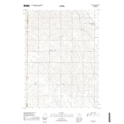
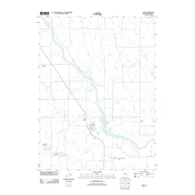 2011 Elba2011 Print · USGSCovers Cotesfield, including Elba, Howard County, and other nearby areas
 - 2011 Map of Cotesfield, 2011 Print
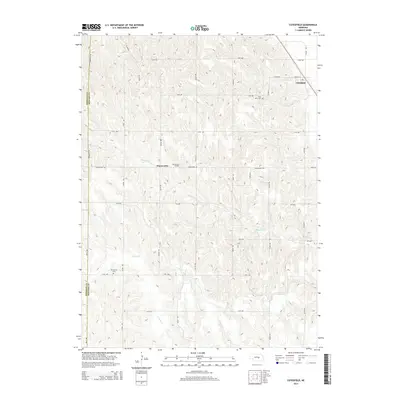
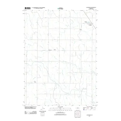 2011 Cotesfield2011 Print · USGSCovers Cotesfield, including Dannevirke, Sherman County, and other nearby areas
 - 2014 Map of Elba, 2014 Print
 2014 Elba2014 Print · USGSCovers Cotesfield, including Elba, Howard County, and other nearby areas
 - 2014 Map of Cotesfield, 2014 Print
 2014 Cotesfield2014 Print · USGSCovers Cotesfield, including Dannevirke, Sherman County, and other nearby areas
 - 2017 Map of Elba, 2017 Print
 2017 Elba2017 Print · USGSCovers Cotesfield, including Elba, Howard County, and other nearby areas
 - 2017 Map of Cotesfield, 2017 Print
 2017 Cotesfield2017 Print · USGSCovers Cotesfield, including Dannevirke, Sherman County, and other nearby areas
 - 2021 Map of Elba, 2021 Print
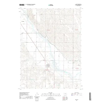
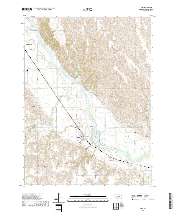 2021 Elba2021 Print · USGSThe North Loup River valley in central Nebraska is documented here in the early twenty-first century. Genealogists can locate family landmarks like Saint Joseph Cem and Fairdale Cem or trace the route of the historic Deadwood Trl.
 - 2021 Map of Cotesfield, 2021 Print
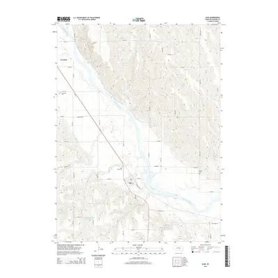
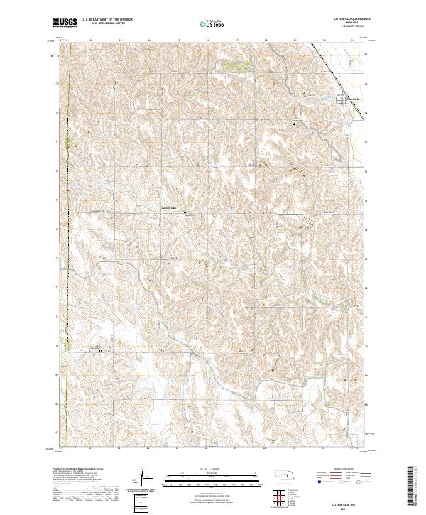 2021 Cotesfield2021 Print · USGSHoward and Sherman Counties appear here as a patchwork of prairie drainages and rural crossroads in the early 2020s. Researchers can trace local heritage through the village of Cotesfield and find several landmarks like Dannevirke Cem and Mount Carmel Cem.
End of results
Showing maps 1-14 of 14
Top cities near Cotesfield
- Saint Paul historical maps
- St. Paul historical maps
- Greeley Center historical maps
- North Loup historical maps
- Scotia historical maps
- Elba historical maps
See more
Frequently asked questions
- What are the different types of historical maps available for Cotesfield?
- What is the oldest map of Cotesfield?
- Where can I purchase historical maps of Cotesfield for my home or office?
- Where can I download high-res historical maps of Cotesfield?
- Are there historical topographic maps available for Cotesfield?
- Is there historical aerial imagery available for Cotesfield?
- Where are historical maps of Cotesfield sourced from?