
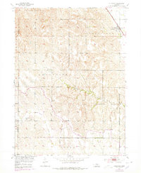
1953 Map of Cotesfield
USGS Topo · Published 1955About this map
Dannevirke and Cotesfield anchor this rural Nebraska landscape during the early 1950s, a period when small-scale agricultural communities still maintained distinct social infrastructures. The settlement of Dannevirke, reflecting the Danish heritage of the area, is mapped with its local Dannevirke Cem nearby. Further south, Mt Carmel Cem sits on the boundary between the Sherman Co and Howard Co line.
Find a feature on this map
15 named features on this map. Tap any name to fly to it.
Don’t see what you’re looking for? This feature index may not catch every label — zoom into the map to look around manually.
Map Details
Editions of this 1953 Cotesfield Map
2 editions found
Other maps of this area

1899 · Loup
USGS Topo · 1:125,000

1953 · North Loup
USGS Topo · 1:24,000

1953 · Scotia NE
USGS Topo · 1:24,000

1953 · Scotia
USGS Topo · 1:24,000

1953 · Loup City SE
USGS Topo · 1:24,000

1953 · Farwell
USGS Topo · 1:24,000

1953 · Nysted
USGS Topo · 1:24,000

1953 · Ashton
USGS Topo · 1:24,000

1953 · Elba
USGS Topo · 1:24,000

1955 · Broken Bow
USGS Topo · 1:250,000