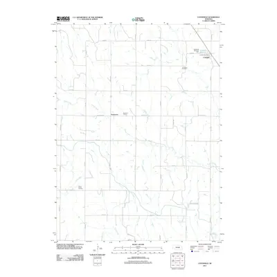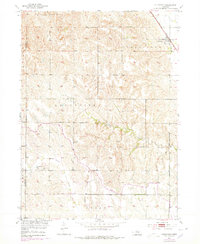
1953 Map of Cotesfield
USGS Topo · Published 1978About this map
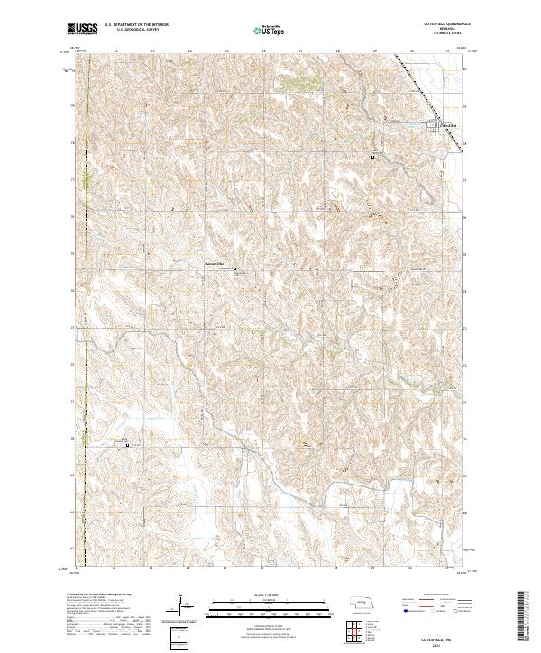
Cotesfield sits at the northeastern corner of this Central Nebraska survey, serving as a focal point for the Union Pacific railroad corridor. This mid-century landscape is defined by its agrarian structure, where the Danish heritage of the region is evident in the naming of Dannevirke and its associated Dannevirke Cem. The map illustrates a rural society organized around its localized institutions, featuring established landmarks like Mt Carmel Ch and Mt Carmel Cem further west near the Sherman and Howard County line. Drainage patterns are clearly marked by the winding paths of Turkey Creek, Munson Creek, and Oak Creek, which dictate the placement of early infrastructure. The inclusion of School No 71 and School No 58 highlights the distribution of one-room schoolhouses that once anchored these prairie townships during the mid-20th century.
Find a feature on this map
17 named features on this map. Tap any name to fly to it.
Don’t see what you’re looking for? This feature index may not catch every label — zoom into the map to look around manually.
Map Details
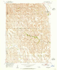
Editions of this 1953 Cotesfield Map
2 editions found
Historical Maps of Cotesfield Through Time
5 maps found