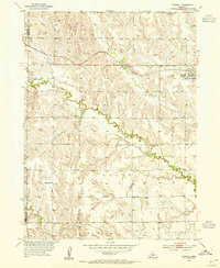
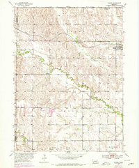
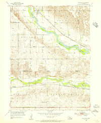
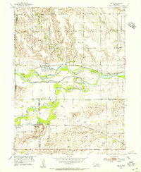
1953 Map of Farwell
USGS Topo · Published 1955About this map
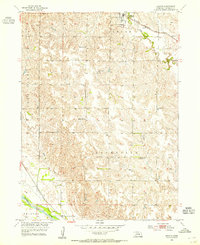
Farwell (Posen) serves as the central hub of this Howard County landscape, situated at the junction of the Chicago Burlington and Quincy railroad and a network of county section lines. The survey, compiled in part from 1951 aerial photography, reveals a meticulously organized rural infrastructure defined by numerous small school districts. Settlements and farmsteads are scattered across the drainage basins of Oak Creek and Turkey Creek, which meander through the prairie terrain toward the Loup Fork.
Find a feature on this map
23 named features on this map. Tap any name to fly to it.
Don’t see what you’re looking for? This feature index may not catch every label — zoom into the map to look around manually.
Map Details
Editions of this 1953 Farwell Map
2 editions found
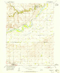
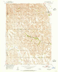
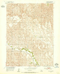
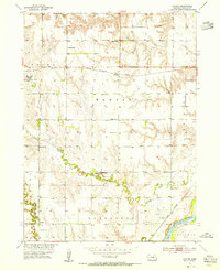
Other maps of this area

1899 · Loup
USGS Topo · 1:125,000
1953 · Dannebrog
USGS Topo · 1:24,000
1953 · Cotesfield
USGS Topo · 1:24,000
1953 · Rockville
USGS Topo · 1:24,000
1953 · Boelus
USGS Topo · 1:24,000
1953 · Loup City SE
USGS Topo · 1:24,000
1953 · Nysted
USGS Topo · 1:24,000
1953 · Ashton
USGS Topo · 1:24,000
1953 · Elba
USGS Topo · 1:24,000

1955 · Broken Bow
USGS Topo · 1:250,000