Old Maps of Farwell, Nebraska for Genealogy
Trace your family roots with 14 historic maps of Farwell. These high-res maps reveal old neighborhoods, homesites, landmarks, and streets — helping you uncover where your ancestors lived and how the area evolved over time.
- Explore historic neighborhoods: Identify where your relatives may have lived in the 1800s or 1900s.
- Compare maps over time: Trace the changes in streets, buildings, and landmarks for multi-generational research.
- Perfect for genealogy & ancestry research: Used by family historians and researchers to map out lineage and migration.
These maps are an incredible resource for exploring your personal connection to Farwell's past.
Farwell, NE maps
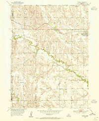
(14)- 1899 Map of Loup
 1899 Loup1899 Print · USGSCentral Nebraska at the end of the century was a land defined by its rivers and expanding rail lines. Genealogists can trace the early pioneer hubs of Dannebrog, Ashton, and Scotia along the Union Pacific RR.2 unique versions available
 - 1953 Map of Farwell, 1955 Print
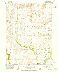
 1953 Farwell1955 Print · USGSHoward County agricultural life is captured here in the early fifties as rural school districts still dotted the Nebraska prairie. Genealogists can locate family landmarks like Kelso Cem, Farwell (Posen), and numerous local schoolhouses including School No 66.2 unique versions available
 - 1953 Map of Nysted, 1955 Print
 1953 Nysted1955 Print · USGSHoward County farming communities and the winding Middle Loup River are captured here in the early fifties. Local historians can trace the foundations of several rural districts via Czechoslovakia Cem, Scotch Cem, and Nysted.2 unique versions available
 - 1955 Map of Broken Bow
 1955 Broken Bow1955 Print · USGSCentral Nebraska in the mid-fifties is defined by the sweeping Sand Hills and the vital river valleys that supported its ranching and rail towns. Researchers can trace the rail corridors of the Union Pacific RR and locate settlements like Dannebrog, Broken Bow, and Brewster.5 unique versions available
 - 1956 Map of Broken Bow
 1956 Broken Bow1956 Print · USGSCentral Nebraska during the mid-fifties reveals a region defined by its river-valley railroads and the rolling Sand Hills. Genealogists and local historians can trace the paths of the Chicago Burlington and Quincy through towns like Broken Bow, Merna, and Anselmo.
 - 1985 Map of St. Paul
 1985 St. Paul1985 Print · USGSCentral Nebraska's river valleys and rail towns are captured here in the mid-eighties, showing the region's agricultural and cultural foundations. Researchers can trace historic communities like Dannebrog, Scotia, and Nysted, or locate landmarks such as Sherman Reservoir and Happy Jack Peak.2 unique versions available
 - 2011 Map of Nysted, 2011 Print
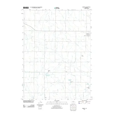
 2011 Nysted2011 Print · USGSCovers Farwell, including Nysted, Midway, and other nearby areas
 - 2011 Map of Farwell, 2011 Print
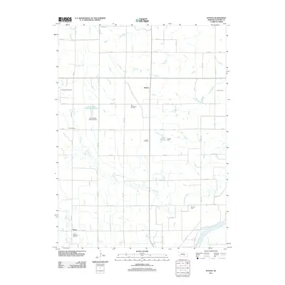
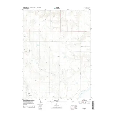
 2011 Farwell2011 Print · USGSCovers Farwell, including Sherman County, Howard County, and other nearby areas
 - 2014 Map of Nysted, 2014 Print
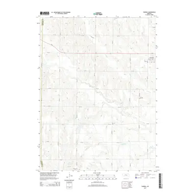
 2014 Nysted2014 Print · USGSCovers Farwell, including Nysted, Midway, and other nearby areas
 - 2014 Map of Farwell, 2014 Print
 2014 Farwell2014 Print · USGSCovers Farwell, including Sherman County, Howard County, and other nearby areas
 - 2017 Map of Nysted, 2017 Print
 2017 Nysted2017 Print · USGSCovers Farwell, including Nysted, Midway, and other nearby areas
 - 2017 Map of Farwell, 2017 Print
 2017 Farwell2017 Print · USGSCovers Farwell, including Sherman County, Howard County, and other nearby areas
 - 2021 Map of Nysted, 2021 Print
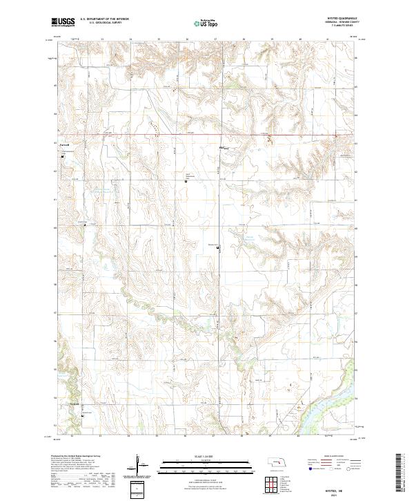 2021 Nysted2021 Print · USGSHoward County's rural landscape is defined by the agricultural rhythms and immigrant heritage of central Nebraska. Researchers can trace ancestral roots through sites like the Czechoslovakia Cem, Nysted Cem, and the settlement of Farwell.
 - 2021 Map of Farwell, 2021 Print
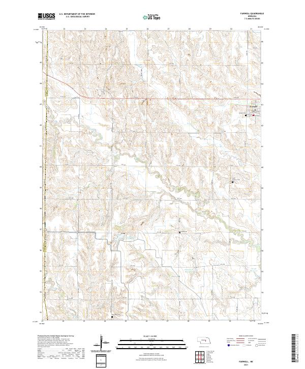 2021 Farwell2021 Print · USGSHoward County's agricultural heartland is documented here in the early twenty-first century, centered on the village of Farwell. Researchers can locate several community landmarks including Danish Cem, Saint Anthony Cem, and the Farwell South Reservoir.
End of results
Showing maps 1-14 of 14
Top cities near Farwell
- St. Paul historical maps
- Saint Paul historical maps
- Cairo historical maps
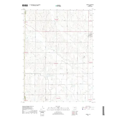
- Dannebrog historical maps
- Elba historical maps
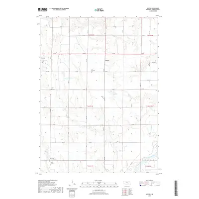
- Ashton historical maps
See more
Frequently asked questions
- What are the different types of historical maps available for Farwell?
- What is the oldest map of Farwell?
- Where can I purchase historical maps of Farwell for my home or office?
- Where can I download high-res historical maps of Farwell?
- Are there historical topographic maps available for Farwell?
- Is there historical aerial imagery available for Farwell?
- Where are historical maps of Farwell sourced from?