Old Maps of Tecumseh, Nebraska for Academic Research
Study the evolution of Tecumseh with 14 high-resolution historic maps. Whether you're teaching, researching, or modeling changes in land use, these maps provide essential visual documentation of urban, environmental, and geographic change.
- Analyze long-term change: Track patterns in development, transportation, and natural features.
- Ideal for environmental or urban studies: Support academic projects with primary historical map data.
- Use in the classroom or lab: Educators and researchers rely on these maps to bring historical context to life.
These maps are a powerful tool for teaching, research, and visualizing how Tecumseh has changed over the decades.
Tecumseh, NE maps
(14)- 1955 Map of Lincoln, 1967 Print
 1955 Lincoln1967 Print · USGSSoutheast Nebraska in the mid-fifties presents a landscape of thriving railroad towns and the expanding footprint of the capital city. Researchers can trace the legacy of the pioneer era at the Homestead National Monument of America or locate mid-century military infrastructure like Lincoln Air Force Base.5 unique versions available
 - 1957 Map of Lincoln
 1957 Lincoln1957 Print · USGSSoutheastern Nebraska at mid-century shows a landscape of thriving rail towns and expanding infrastructure centered on Lincoln. Researchers can trace the path of the Chicago Burlington and Quincy railroad through communities like Weeping Water, Fairmont, and Seward.
 - 1958 Map of Lincoln
 1958 Lincoln1958 Print · USGSSoutheast Nebraska at the end of the 1950s shows a region defined by agricultural trade and the expansion of the state capital. Genealogists can trace family footprints across the Blue Valley and locate landmarks like the Lincoln AFB or the U.S. Veterans Hospital.
 - 1965 Map of Tecumseh, 1966 Print
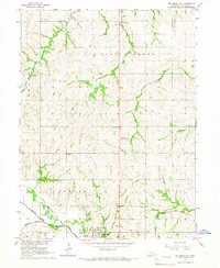
 1965 Tecumseh1966 Print · USGSThe Johnson County seat of Tecumseh is shown here in the mid-sixties at the junction of two major rail lines and the Big Nemaha River. Researchers can locate vanished rural schoolhouses like Hedge Corner Sch, the village of Elk Creek, and the Mt Hope Cem.
 - 1965 Map of Tecumseh NW, 1966 Print
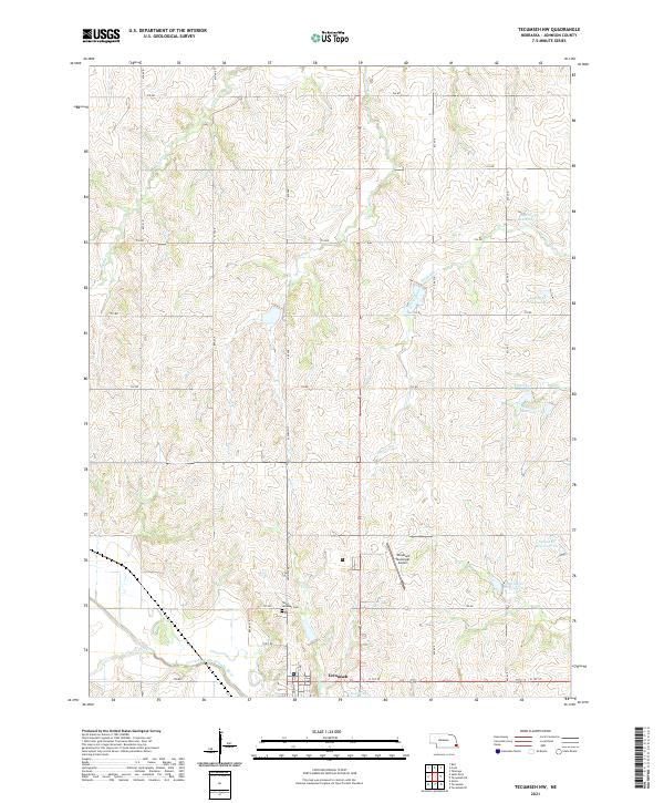
 1965 Tecumseh NW1966 Print · USGSSoutheast Nebraska’s rolling farm country is captured here in the mid-sixties, anchored by the river valley around Tecumseh. Researchers can trace old property lines near St Andrews Cem or locate the rural Sandridge Sch and Warner Sch.
 - 1986 Map of Beatrice
 1986 Beatrice1986 Print · USGSSoutheast Nebraska and the Kansas borderlands appear in the mid-1980s as a thriving agricultural region centered on the Big Blue River. Researchers can trace historic rail routes like the Burlington Northern through hubs such as Beatrice and Pawnee City.2 unique versions available
 - 2011 Map of Tecumseh NW, 2011 Print
 2011 Tecumseh NW2011 Print · USGSCovers Tecumseh, including Johnson County, United States, and other nearby areas
 - 2012 Map of Tecumseh, 2012 Print
 2012 Tecumseh2012 Print · USGSCovers Tecumseh, including Elk Creek, Johnson County, and other nearby areas
 - 2014 Map of Tecumseh NW, 2014 Print
 2014 Tecumseh NW2014 Print · USGSCovers Tecumseh, including Johnson County, United States, and other nearby areas
 - 2014 Map of Tecumseh, 2014 Print
 2014 Tecumseh2014 Print · USGSCovers Tecumseh, including Elk Creek, Johnson County, and other nearby areas
 - 2017 Map of Tecumseh, 2017 Print
 2017 Tecumseh2017 Print · USGSCovers Tecumseh, including Elk Creek, Johnson County, and other nearby areas
 - 2017 Map of Tecumseh NW, 2017 Print
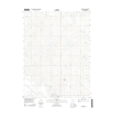
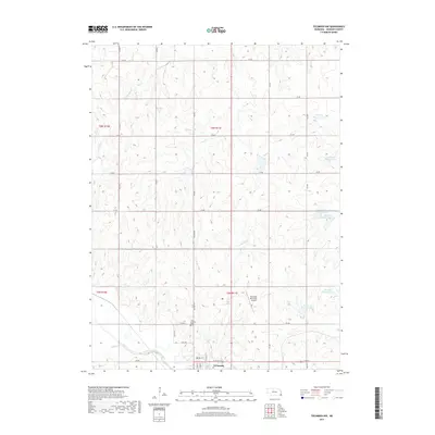 2017 Tecumseh NW2017 Print · USGSCovers Tecumseh, including Johnson County, United States, and other nearby areas
 - 2021 Map of Tecumseh NW, 2021 Print
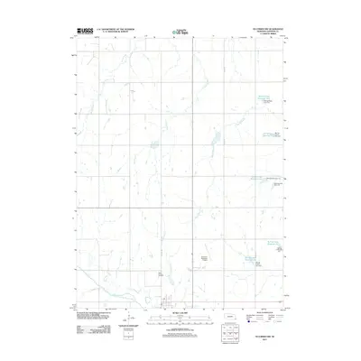
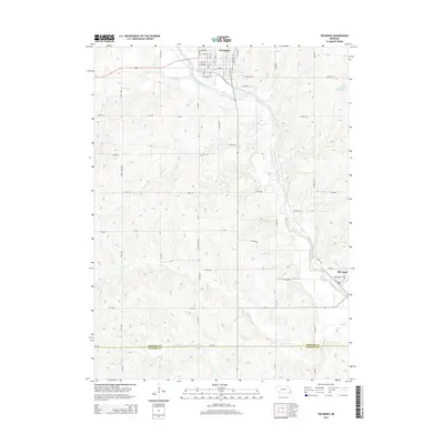
 2021 Tecumseh NW2021 Print · USGSThe area surrounding Tecumseh is captured here in the early 2020s, showing a landscape defined by the North Fork Big Nemaha River watershed. Genealogists and local historians can trace legacy routes like Old Hwy 50 and locate landmarks such as Saint Andrews Cem and the Tecumseh Municipal Airport.
 - 2021 Map of Tecumseh, 2021 Print
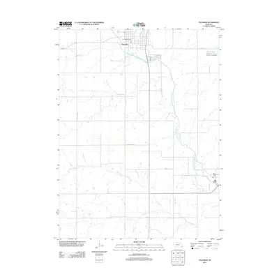
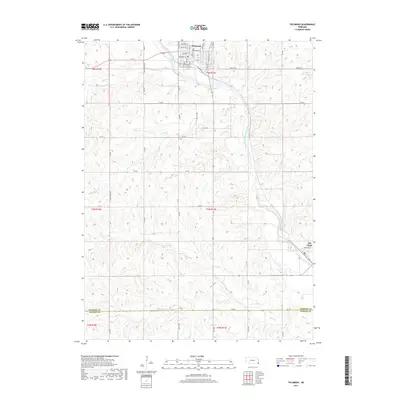
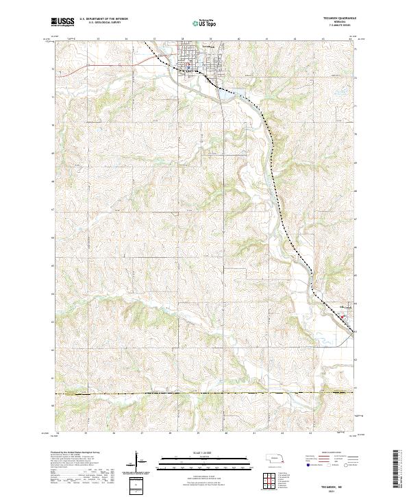 2021 Tecumseh2021 Print · USGSSoutheast Nebraska in the early 2020s remains centered on the river valleys and county seats established generations ago. Genealogists and researchers can trace the local landscape from the Johnson County Courthouse in Tecumseh to the village of Elk Creek.
End of results
Showing maps 1-14 of 14
Top cities near Tecumseh
- Sterling historical maps
- Cook historical maps
- Talmage historical maps
- Johnson historical maps
- Table Rock historical maps
- Douglas historical maps
See more
Frequently asked questions
- What are the different types of historical maps available for Tecumseh?
- What is the oldest map of Tecumseh?
- Where can I purchase historical maps of Tecumseh for my home or office?
- Where can I download high-res historical maps of Tecumseh?
- Are there historical topographic maps available for Tecumseh?
- Is there historical aerial imagery available for Tecumseh?
- Where are historical maps of Tecumseh sourced from?