Old Maps of Wausa, Nebraska for Academic Research
Study the evolution of Wausa with 15 high-resolution historic maps. Whether you're teaching, researching, or modeling changes in land use, these maps provide essential visual documentation of urban, environmental, and geographic change.
- Analyze long-term change: Track patterns in development, transportation, and natural features.
- Ideal for environmental or urban studies: Support academic projects with primary historical map data.
- Use in the classroom or lab: Educators and researchers rely on these maps to bring historical context to life.
These maps are a powerful tool for teaching, research, and visualizing how Wausa has changed over the decades.
Wausa, NE maps
(15)- 1955 Map of Sioux City, 1959 Print
 1955 Sioux City1959 Print · USGSThe Missouri River valley in the mid-fifties is captured here during a time of major engineering and social transition. Genealogists and historians can trace the foundations of Gavins Point Dam, tribal boundaries on the Santee Sioux Indian Reservation, and local landmarks like the Norfolk State Hospital.4 unique versions available
 - 1958 Map of Sioux City
 1958 Sioux City1958 Print · USGSThe Missouri River valley in the late fifties was a bustling intersection of tribal lands, rail corridors, and river towns. Genealogists can trace family roots through specific rural sites like Daisy Valley School, St Johns Church and School, and Yankton State Hospital.
 - 1959 Map of Sioux City
 1959 Sioux City1959 Print · USGSThe tri-state region surrounding the Missouri River is captured here in the late fifties, showing the convergence of Nebraska, South Dakota, and Iowa. Researchers can trace rural lineages through numerous country schoolhouses like Cemetery School and the many numbered Washington School districts.
 - 1968 Map of Bloomfield SE, 1971 Print
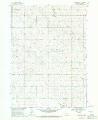 1968 Bloomfield SE1971 Print · USGSKnox County agricultural lands and the town of Wausa are captured in the late sixties as the local rail infrastructure began to shift. Genealogists and local historians can locate Thabor Cem, Woodlawn Cem, and the path of the Old Railroad Grade.
 - 1971 Map of Wausa, 1973 Print
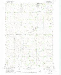 1971 Wausa1973 Print · USGSNortheast Nebraska at the start of the seventies shows a landscape defined by the winding North Fork Elkhorn River and the small-town hub of Wausa. Genealogists and rail historians can trace the Old Railroad Grade and the active Burlington Northern line across the Knox and Pierce county border.
 - 1985 Map of Yankton
 1985 Yankton1985 Print · USGSThe Missouri River borderlands of South Dakota and Nebraska come alive in this mid-eighties survey, centered on the newly created Lewis and Clark Lake. Researchers can trace the Santee Indian Reservation and locate historic river features like the St Helena Island Chute and Sand Island.2 unique versions available
 - 1985 Map of Norfolk, 1986 Print
 1985 Norfolk1986 Print · USGSNortheast Nebraska in the mid-eighties shows a landscape shaped by the Elkhorn River and established rail corridors. Trace the growth of towns like Norfolk and Wayne, locating institutional landmarks such as Wayne State College and Norfolk Regional Center.2 unique versions available
 - 2011 Map of Bloomfield SE, 2011 Print
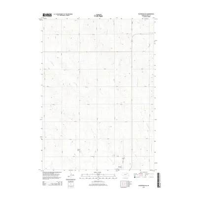
 2011 Bloomfield SE2011 Print · USGSCovers Wausa, including Knox County, United States, and other nearby areas
 - 2011 Map of Wausa, 2011 Print
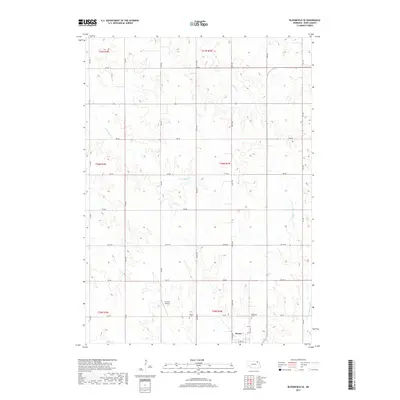
 2011 Wausa2011 Print · USGSCovers Wausa, including Pierce County, Knox County, and other nearby areas
 - 2014 Map of Bloomfield SE, 2014 Print
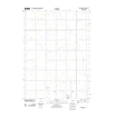
 2014 Bloomfield SE2014 Print · USGSCovers Wausa, including Knox County, United States, and other nearby areas
 - 2014 Map of Wausa, 2014 Print
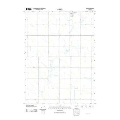
 2014 Wausa2014 Print · USGSCovers Wausa, including Pierce County, Knox County, and other nearby areas
 - 2017 Map of Wausa, 2017 Print
 2017 Wausa2017 Print · USGSCovers Wausa, including Pierce County, Knox County, and other nearby areas
 - 2017 Map of Bloomfield SE, 2017 Print
 2017 Bloomfield SE2017 Print · USGSCovers Wausa, including Knox County, United States, and other nearby areas
 - 2021 Map of Wausa, 2021 Print
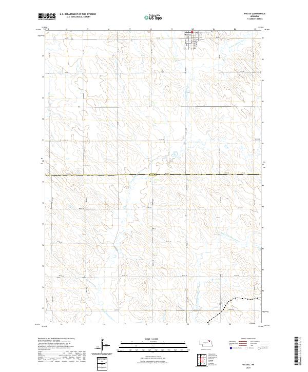 2021 Wausa2021 Print · USGSThe village of Wausa stands at the northern edge of this Nebraska plains landscape as it appeared in the early 2020s. Genealogists and local historians can trace property boundaries across the Knox and Pierce County line or follow the N Fork Elkhorn River.
 - 2021 Map of Bloomfield SE, 2021 Print
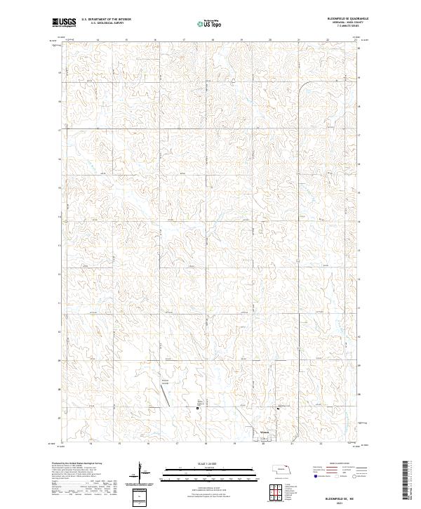 2021 Bloomfield SE2021 Print · USGSKnox County farmland surrounds the town of Wausa in this 2021 survey of northeast Nebraska. Genealogists and local historians can trace legacy sites like the Thabor Lutheran Cem, Woodlawn Cem, and the Frevert Airstrip.
End of results
Showing maps 1-15 of 15
Top cities near Wausa
- Bloomfield historical maps
- Randolph historical maps
- Osmond historical maps
- Crofton historical maps
- Fordyce historical maps
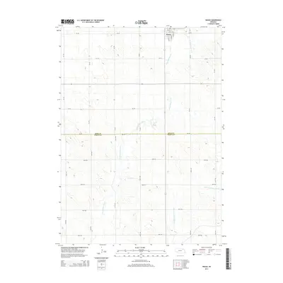
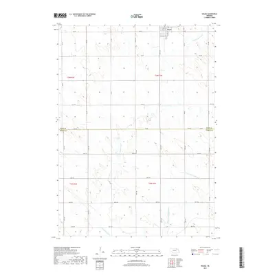
- Magnet historical maps
See more
Frequently asked questions
- What are the different types of historical maps available for Wausa?
- What is the oldest map of Wausa?
- Where can I purchase historical maps of Wausa for my home or office?
- Where can I download high-res historical maps of Wausa?
- Are there historical topographic maps available for Wausa?
- Is there historical aerial imagery available for Wausa?
- Where are historical maps of Wausa sourced from?