Old Maps of Kayser, Nebraska for Metal Detecting
Plan your next treasure hunt with 15 historic maps of Kayser. Find old homesites, ghost towns, trails, and gathering spots that may be lost to time — perfect for identifying promising metal detecting locations.
- Locate forgotten sites: Uncover places like long-lost settlements, abandoned rail lines, or gathering spots.
- Plan better hunts: Use map overlays combined with LiDAR or satellite views to narrow in on historically rich areas.
- Made for detectorists: Thousands of hobbyists use these maps to discover relics, coins, and hidden history.
Use these historic maps to boost your research and find new opportunities beneath the surface of Kayser.
Kayser, NE maps
(15)- 1897 Map of Lincoln
 1897 Lincoln1897 Print · USGSLate-Victorian Nebraska comes into focus here as a bustling hub of steam and steel, centered on the capital. You can trace the early layouts of University Place and Bethany or locate rural landmarks like the Asylum, Lincoln Salt Lake, and the rail stop at Prairie Home.4 unique versions available
 - 1955 Map of Lincoln, 1967 Print
 1955 Lincoln1967 Print · USGSSoutheast Nebraska in the mid-fifties presents a landscape of thriving railroad towns and the expanding footprint of the capital city. Researchers can trace the legacy of the pioneer era at the Homestead National Monument of America or locate mid-century military infrastructure like Lincoln Air Force Base.5 unique versions available
 - 1957 Map of Lincoln
 1957 Lincoln1957 Print · USGSSoutheastern Nebraska at mid-century shows a landscape of thriving rail towns and expanding infrastructure centered on Lincoln. Researchers can trace the path of the Chicago Burlington and Quincy railroad through communities like Weeping Water, Fairmont, and Seward.
 - 1958 Map of Lincoln
 1958 Lincoln1958 Print · USGSSoutheast Nebraska at the end of the 1950s shows a region defined by agricultural trade and the expansion of the state capital. Genealogists can trace family footprints across the Blue Valley and locate landmarks like the Lincoln AFB or the U.S. Veterans Hospital.
 - 1964 Map of Walton, 1966 Print
 1964 Walton1966 Print · USGSThe eastern outskirts of Lincoln and the surrounding Lancaster County townships appear here during a period of mid-century suburban growth. Genealogists and local historians can trace the development of Bethany and Havelock, or locate rural landmarks like Schultz Cem and the community of Walton.3 unique versions available
 - 1966 Map of Bennet, 1967 Print
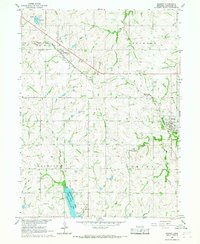 1966 Bennet1967 Print · USGSSoutheast of Lincoln in the mid-sixties, this landscape showcases a rural rail-and-river economy centered on the Chicago Burlington and Quincy line. Researchers can trace family plots at Cheney Cem or explore the development of Wagon Train Lake.2 unique versions available
 - 1986 Map of Lincoln
 1986 Lincoln1986 Print · USGSMid-century development and the rail-and-river economy of southeastern Nebraska are clear in this 1980s survey. Researchers can trace the sprawling rail networks of the Burlington Northern and locate historic sites like Union College and the State Capitol.2 unique versions available
 - 2011 Map of Bennet, 2011 Print
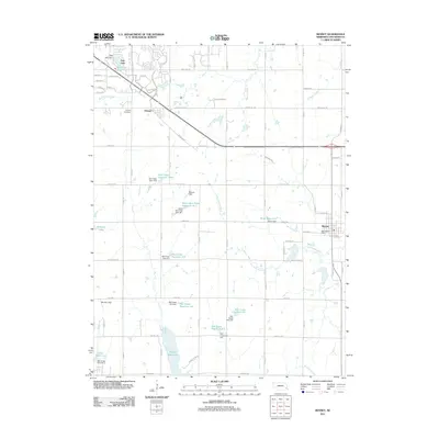 2011 Bennet2011 Print · USGSSoutheast of Lincoln in the early twenty-first century, this area reveals a landscape of rural towns and extensive water management. Genealogists and local historians can locate the Cheney Cemetery, the streets of Bennet, and major landmarks like Wagon Train Lake.
 - 2011 Map of Walton, 2011 Print
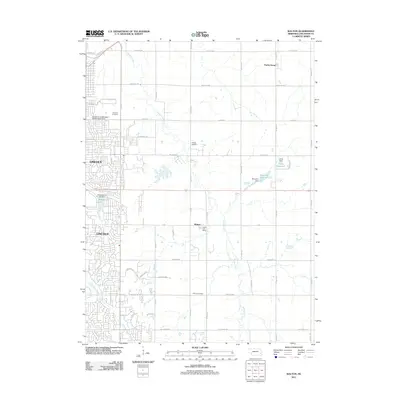 2011 Walton2011 Print · USGSEastern Lancaster County shows the meeting of urban growth and rural heritage in the early 21st century. Genealogists and local historians can locate Fairview Cemetery, the village of Walton, and the University of Nebraska Experimental Farm.
 - 2014 Map of Walton, 2014 Print
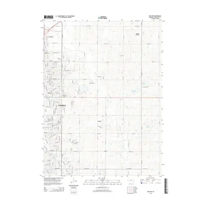 2014 Walton2014 Print · USGSThe eastern outskirts of Lincoln meet the rural expanses of Lancaster County during the mid-2010s. Researchers can locate community anchors like Fairview Cem and Pester Airport or trace the drainage of Stevens Cr near the settlement of Walton.
 - 2014 Map of Bennet, 2014 Print
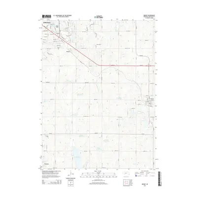 2014 Bennet2014 Print · USGSSoutheast of Lincoln in the mid-2010s, this landscape shows the intersection of rural townships and expanding water management projects. Researchers can locate the Cheney Cemetery, trace the course of the Little Nemaha River, and explore the surroundings of Wagon Train Lake.
 - 2017 Map of Walton, 2017 Print
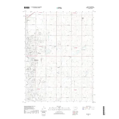 2017 Walton2017 Print · USGSThe eastern suburbs of Lincoln meet the Nebraska prairie in the late 2010s as residential growth pushes toward Walton. Genealogists and local historians can locate Fairview Cem and Schultz Cem or trace the early paths of Havelock and Bethany.
 - 2017 Map of Bennet, 2017 Print
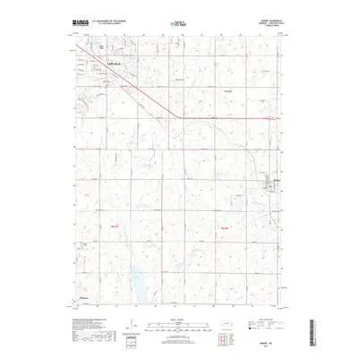 2017 Bennet2017 Print · USGSSoutheast of Lincoln in the late twenty-tens, this part of Lancaster County shows a landscape defined by water management and rural crossroads. Genealogists and local historians can locate Cheney Cem and trace the growth around Bennet and Wagon Train Lake.
 - 2021 Map of Walton, 2021 Print
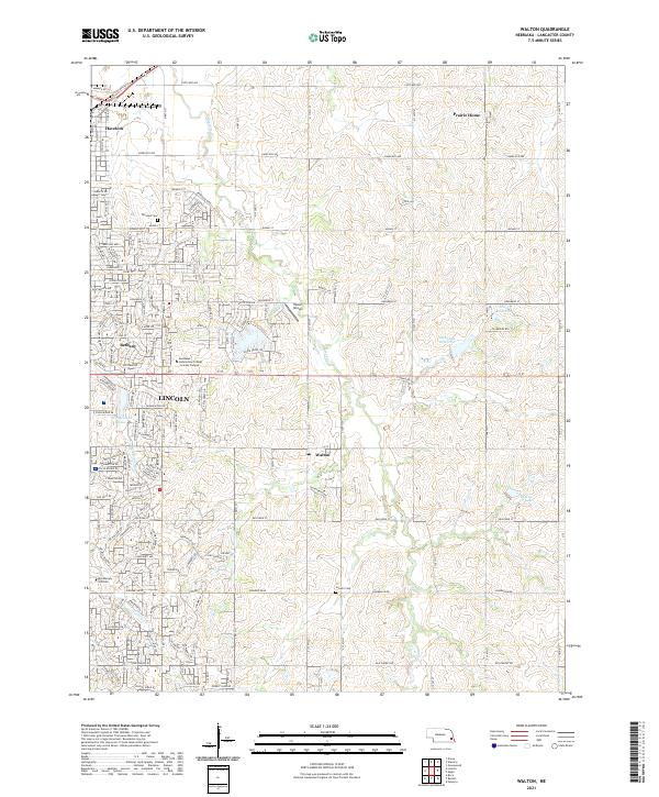 2021 Walton2021 Print · USGSEastern Lancaster County is captured in the early twenty-first century as the city of Lincoln expands toward Walton. Genealogists and local historians can trace family plots at Fairview Cemetery or explore the outskirts near Prairie Home.
 - 2021 Map of Bennet, 2021 Print
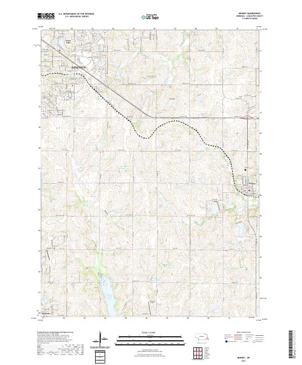 2021 Bennet2021 Print · USGSSoutheast of Lincoln in the early 2020s, this area showcases the intersection of expanding suburban streets and traditional Nebraska farmland. Genealogists and local historians can trace the vicinity of Bennet, the Cheney Cem, and recreational sites like Wagon Train Lake.
End of results
Showing maps 1-15 of 15
Frequently asked questions
- What are the different types of historical maps available for Kayser?
- What is the oldest map of Kayser?
- Where can I purchase historical maps of Kayser for my home or office?
- Where can I download high-res historical maps of Kayser?
- Are there historical topographic maps available for Kayser?
- Is there historical aerial imagery available for Kayser?
- Where are historical maps of Kayser sourced from?