2000s (21st Century) Maps of Lincoln, Nebraska
Explore 32 historic maps of Lincoln from the 2000s (21st Century). These maps offer a rare glimpse into what life looked like during the 2000s — showing old roads, neighborhoods, homes, and landmarks that have changed or disappeared over time.
Whether you're researching your family's past, planning a metal detecting trip, or studying how Lincoln's landscape evolved across the 2000s, these high-resolution maps are a powerful tool for exploring the history of this region.
- Focus on a specific era: All maps on this page are from the 2000s, giving you a focused view of this time period.
- See what’s changed: Compare century-old streets, trails, and buildings to today's modern landscape using overlays and satellite layers.
- Research with precision: Use these maps for genealogy, historical research, land use analysis, or educational projects.
- View, download, or print: Maps are fully viewable online in high resolution, and can be downloaded or printed for your own records.
Start exploring Lincoln's history through authentic maps from the 2000s. This is your window into the past.
Lincoln, NE maps
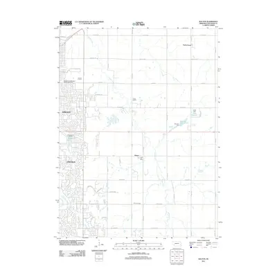
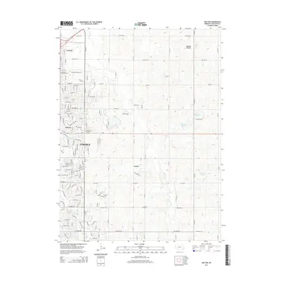
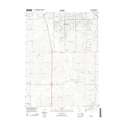
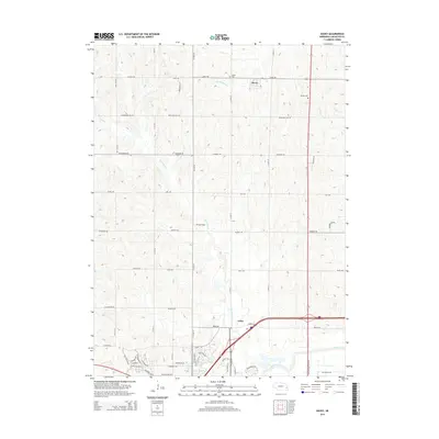
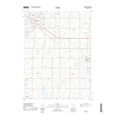
(32)- 2011 Map of Bennet, 2011 Print
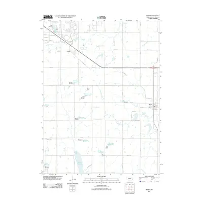 2011 Bennet2011 Print · USGSCovers Lincoln, including Hickman, Bennet, and other nearby areas
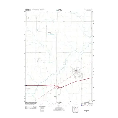
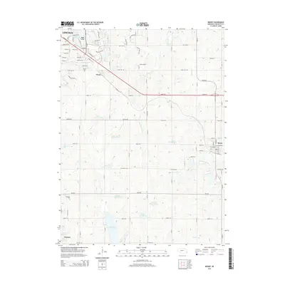
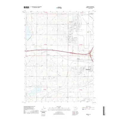
 - 2011 Map of Emerald, 2011 Print
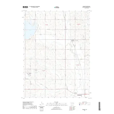
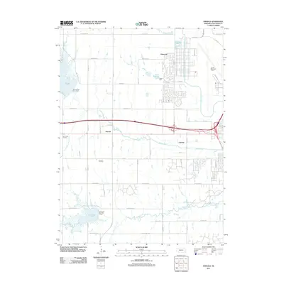 2011 Emerald2011 Print · USGSCovers Lincoln, including Emerald, Lancaster County, and other nearby areas
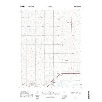
 - 2011 Map of Raymond, 2011 Print
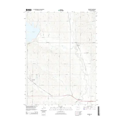
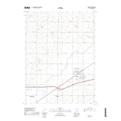
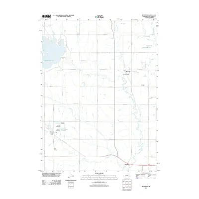 2011 Raymond2011 Print · USGSCovers Lincoln, including Malcolm, Raymond, and other nearby areas
 - 2011 Map of Davey, 2011 Print
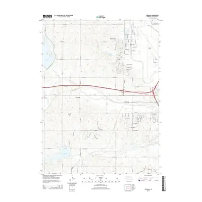
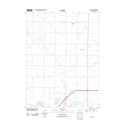 2011 Davey2011 Print · USGSCovers Lincoln, including Davey, Arbor, and other nearby areas
 - 2011 Map of Walton, 2011 Print
 2011 Walton2011 Print · USGSCovers Lincoln, including Walton, Prairie Home, and other nearby areas
 - 2011 Map of Waverly, 2011 Print
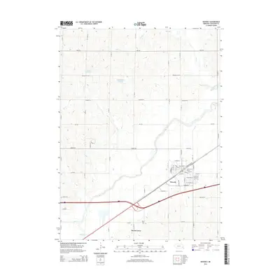
 2011 Waverly2011 Print · USGSCovers Lincoln, including Waverly, Lancaster County, and other nearby areas
 - 2011 Map of Roca, 2011 Print
 2011 Roca2011 Print · USGSCovers Lincoln, including Hickman, Roca, and other nearby areas
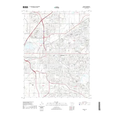
 - 2011 Map of Lincoln, 2011 Print
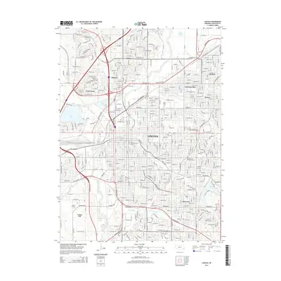
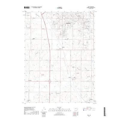
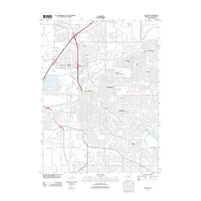 2011 Lincoln2011 Print · USGSCovers Lincoln, including Lancaster County, United States, and other nearby areas
 - 2014 Map of Walton, 2014 Print
 2014 Walton2014 Print · USGSCovers Lincoln, including Walton, Prairie Home, and other nearby areas
 - 2014 Map of Bennet, 2014 Print
 2014 Bennet2014 Print · USGSCovers Lincoln, including Hickman, Bennet, and other nearby areas
 - 2014 Map of Raymond, 2014 Print
 2014 Raymond2014 Print · USGSCovers Lincoln, including Malcolm, Raymond, and other nearby areas
 - 2014 Map of Emerald, 2014 Print
 2014 Emerald2014 Print · USGSCovers Lincoln, including Emerald, Lancaster County, and other nearby areas
 - 2014 Map of Roca, 2014 Print
 2014 Roca2014 Print · USGSCovers Lincoln, including Hickman, Roca, and other nearby areas
 - 2014 Map of Lincoln, 2014 Print
 2014 Lincoln2014 Print · USGSCovers Lincoln, including Lancaster County, United States, and other nearby areas
 - 2014 Map of Waverly, 2014 Print
 2014 Waverly2014 Print · USGSCovers Lincoln, including Waverly, Lancaster County, and other nearby areas
 - 2014 Map of Davey, 2014 Print
 2014 Davey2014 Print · USGSCovers Lincoln, including Davey, Arbor, and other nearby areas
 - 2017 Map of Waverly, 2017 Print
 2017 Waverly2017 Print · USGSCovers Lincoln, including Waverly, Lancaster County, and other nearby areas
 - 2017 Map of Raymond, 2017 Print
 2017 Raymond2017 Print · USGSCovers Lincoln, including Malcolm, Raymond, and other nearby areas
 - 2017 Map of Walton, 2017 Print
 2017 Walton2017 Print · USGSCovers Lincoln, including Walton, Prairie Home, and other nearby areas
 - 2017 Map of Roca, 2017 Print
 2017 Roca2017 Print · USGSCovers Lincoln, including Hickman, Roca, and other nearby areas
 - 2017 Map of Bennet, 2017 Print
 2017 Bennet2017 Print · USGSCovers Lincoln, including Hickman, Bennet, and other nearby areas
 - 2017 Map of Emerald, 2017 Print
 2017 Emerald2017 Print · USGSCovers Lincoln, including Emerald, Lancaster County, and other nearby areas
 - 2017 Map of Lincoln, 2017 Print
 2017 Lincoln2017 Print · USGSCovers Lincoln, including Lancaster County, United States, and other nearby areas
 - 2017 Map of Davey, 2017 Print
 2017 Davey2017 Print · USGSCovers Lincoln, including Davey, Arbor, and other nearby areas
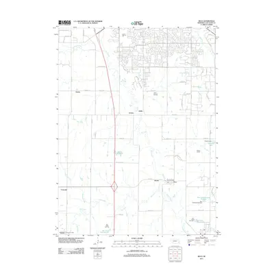
 - 2021 Map of Walton, 2021 Print
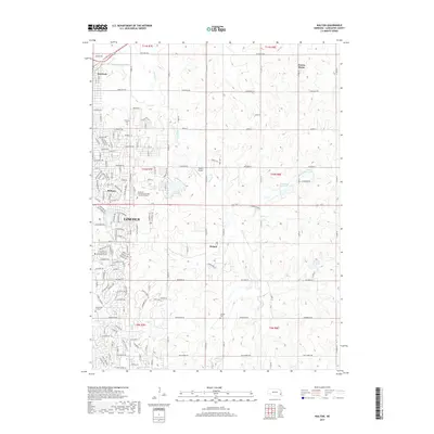
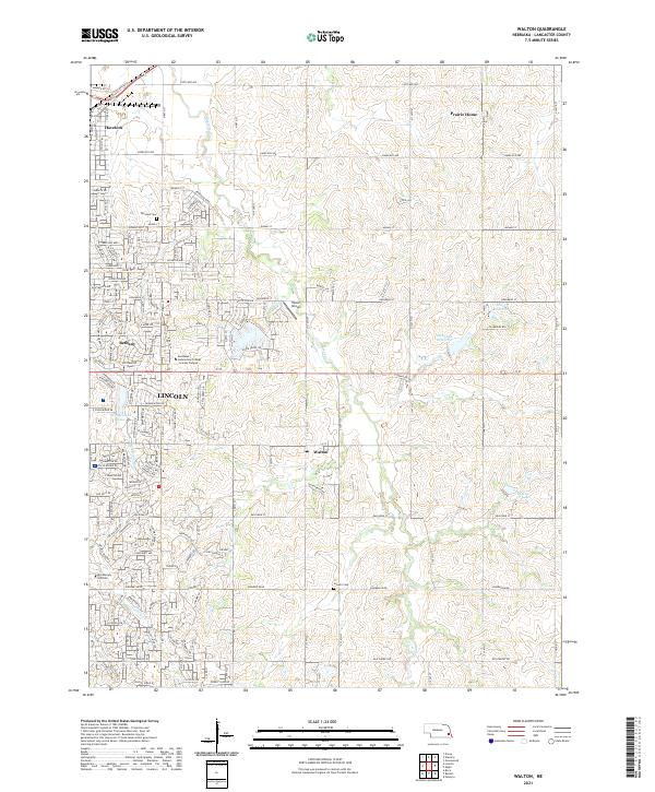 2021 Walton2021 Print · USGSEastern Lancaster County is captured in the early twenty-first century as the city of Lincoln expands toward Walton. Genealogists and local historians can trace family plots at Fairview Cemetery or explore the outskirts near Prairie Home.
Showing maps 1-25 of 32
Top cities near Lincoln
- Waverly historical maps
- Hickman historical maps
- Bennet historical maps
- Malcolm historical maps
- Panama historical maps
- Roca historical maps
See more
Top neighborhoods of Lincoln
- Bethany historical maps
- Normal historical maps
- West Lincoln historical maps
- University Place historical maps
- Havelock historical maps
- Belmont historical maps
See more
Frequently asked questions
- What are the different types of historical maps available for Lincoln?
- What is the oldest map of Lincoln?
- Where can I purchase historical maps of Lincoln for my home or office?
- Where can I download high-res historical maps of Lincoln?
- Are there historical topographic maps available for Lincoln?
- Is there historical aerial imagery available for Lincoln?
- Where are historical maps of Lincoln sourced from?