Old Maps of Nuckolls County, Nebraska
Explore 85 old maps of Nuckolls County, spanning from 1898 to today. These high-resolution historic maps reveal how streets, neighborhoods, landmarks, and natural features evolved over time — perfect for genealogy, metal detecting, research, and local history exploration.
What you can do with these maps:
- See how Nuckolls County changed over time: Compare historical maps to modern-day views to trace roads, homesites, rail lines & more.
- View detailed metadata: Each map includes creators, publishers, year, scale, and archive source.
- Overlay maps with satellite & LiDAR: Visualize the past alongside modern tools to explore terrain & human change.
- Trusted historical sources: Maps sourced from the USGS, Library of Congress, and other archives.
- Access maps your way: View online, download high-res files, or order prints for personal or research use.
Start exploring old maps of Nuckolls County to uncover forgotten places, hidden landmarks, and the deep history beneath your feet.
Nuckolls County, NE maps
(85)- 1898 Map of Superior
 1898 Superior1898 Print · USGSSouthern Nebraska and northern Kansas were dominated by a growing rail network in the late nineteenth century. Genealogists can trace family roots through early settlements like Superior, Nelson, and Guide Rock, or locate vanished tracks of the Kansas City and Omaha R. R.3 unique versions available
 - 1898 Map of Hebron
 1898 Hebron1898 Print · USGSThayer County and the surrounding Nebraska-Kansas borderlands come alive in the 1890s as a vital hub of the prairie rail network. Researchers can trace the development of early settlements like Hebron and Friedensau or follow the path of the Little Blue River.2 unique versions available
 - 1955 Map of Lincoln, 1967 Print
 1955 Lincoln1967 Print · USGSSoutheast Nebraska in the mid-fifties presents a landscape of thriving railroad towns and the expanding footprint of the capital city. Researchers can trace the legacy of the pioneer era at the Homestead National Monument of America or locate mid-century military infrastructure like Lincoln Air Force Base.5 unique versions available
 - 1955 Map of Grand Island, 1967 Print
 1955 Grand Island1967 Print · USGSCentral Nebraska is seen here during a period of industrial and agricultural growth, centered on the vital Platte River corridor. Researchers can trace the mid-century footprints of the U S Naval Ammunition Depot and the Cornhusker Ordnance Plant.3 unique versions available
 - 1957 Map of Lincoln
 1957 Lincoln1957 Print · USGSSoutheastern Nebraska at mid-century shows a landscape of thriving rail towns and expanding infrastructure centered on Lincoln. Researchers can trace the path of the Chicago Burlington and Quincy railroad through communities like Weeping Water, Fairmont, and Seward.
 - 1957 Map of Grand Island
 1957 Grand Island1957 Print · USGSCentral Nebraska and Northern Kansas are shown here during a period of massive hydraulic and military expansion in the mid-fifties. Researchers can trace the development of the Harlan County Reservoir and the massive wartime legacy of the Cornhusker Ordnance Plant.
 - 1958 Map of Grand Island
 1958 Grand Island1958 Print · USGSSouth-central Nebraska thrived as a rail and industrial hub during the late fifties, shaped by the braided Platte River. Genealogists and historians can trace rail lines like the Union Pacific RR through towns such as Kearney or locate the sprawling Cornhusker Ordnance Plant.
 - 1958 Map of Lincoln
 1958 Lincoln1958 Print · USGSSoutheast Nebraska at the end of the 1950s shows a region defined by agricultural trade and the expansion of the state capital. Genealogists can trace family footprints across the Blue Valley and locate landmarks like the Lincoln AFB or the U.S. Veterans Hospital.
 - 1960 Map of Byron, 1961 Print
 1960 Byron1961 Print · USGSThe Nebraska-Kansas borderlands in the early sixties remain a patchwork of small-town school districts and prairie parishes. Trace family history through landmarks like Bethany Ch, School No 91, and Zion Cem along the winding Spring Creek.
 - 1960 Map of Edgar, 1961 Print
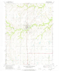
 1960 Edgar1961 Print · USGSClay and Nuckolls Counties come to life at the turn of the 1960s as a hub of Nebraska rail commerce. Genealogists and historians can trace the foundations of local life through rural landmarks like Pioneer Sch, the town of Edgar, and the winding Little Blue River.
 - 1960 Map of Davenport, 1961 Print
 1960 Davenport1961 Print · USGSDavenport was a bustling rail crossroads in the early sixties where two major lines intersected amidst the creek valleys of southern Nebraska. Researchers can trace the town's original footprint, find the local Cem, and follow the Union Pacific and Chicago and North Western tracks.
 - 1960 Map of Fairfield SE, 1961 Print
 1960 Fairfield SE1961 Print · USGSThe rural landscapes of Clay and Nuckolls Counties come into focus here during the early sixties. Genealogists and local historians can trace the foundations of these prairie communities through sites like Pleasant Hill Cem, Oxbow Sch, and the Chicago Burlington and Quincy rail line.
 - 1960 Map of Oak, 1961 Print
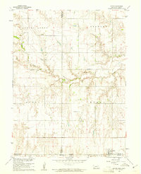
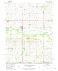
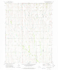
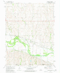
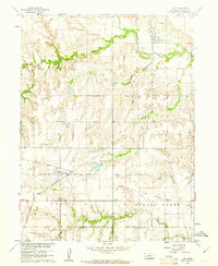 1960 Oak1961 Print · USGSNuckolls County during the early sixties shows a landscape defined by the Little Blue River and the Chicago and North Western rail line. Researchers can locate the Oak Mill, trace the Old Railroad Grade, and find family sites at Nora Cem.
 - 1960 Map of Ruskin, 1962 Print
 1960 Ruskin1962 Print · USGSAgricultural life in South Central Nebraska is captured here at the start of the 1960s, centered on the village of Ruskin. Genealogists and local historians can locate specific sites like St Marks Cem, Bethlehem Sch, and the Chicago Rock Island and Pacific rail corridor.
 - 1960 Map of Deweese, 1962 Print
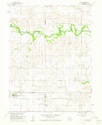
 1960 Deweese1962 Print · USGSAgricultural life along the Little Blue River is captured in the early 1960s as Deweese thrived on the Chicago Burlington and Quincy line. Genealogists can locate family landmarks like Sacred Heart Cem and Roth Sch.
 - 1969 Map of Lawrence, 1971 Print
 1969 Lawrence1971 Print · USGSLawrence and its neighboring rural communities are captured here in the late sixties at the junction of the Nebraska grain railways. Genealogists and local historians can trace family locations near St Stephens, Rosemont, and Oak Creek Cem.
 - 1974 Map of Guide Rock, 1977 Print
 1974 Guide Rock1977 Print · USGSThe Nebraska-Kansas border comes alive in the mid-1970s, centered on the historic river crossing at Guide Rock. Local historians can trace the paths of the Courtland Canal, find early burial sites like Columbia Cem, and locate The Guide Rock (Pa Hur) south of the river.
 - 1974 Map of Mount Clare, 1977 Print
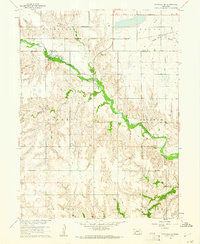
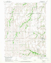
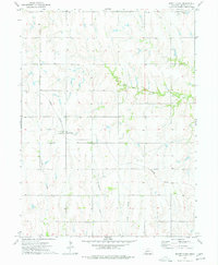 1974 Mount Clare1977 Print · USGSMount Clare and the surrounding Nuckolls County farmland are captured here in the mid-seventies, showing the vital rail and water networks of the era. Researchers can locate the Beulah Cem and follow the MISSOURI PACIFIC line past Mount Clare.
 - 1974 Map of Superior, 1977 Print
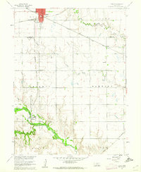
 1974 Superior1977 Print · USGSThe Nebraska-Kansas border comes alive in this mid-seventies survey of Nuckolls and Jewell counties. Genealogists can trace local roots at Ladies Evergreen Cemetery or locate rural landmarks like Beaver-Ville School and the remote outpost of Smyrna.2 unique versions available
 - 1974 Map of Hardy, 1977 Print
 1974 Hardy1977 Print · USGSHardy and the surrounding tri-county borderlands are captured in the mid-1970s, showcasing a landscape shaped by rail and irrigation. Researchers can trace the convergence of the Burlington Northern and Missouri Pacific railroads and the path of the Superior Canal.
 - 1974 Map of Guide Rock NE, 1977 Print
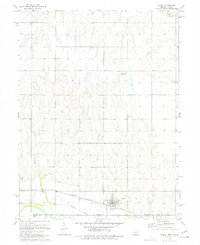
 1974 Guide Rock NE1977 Print · USGSSouthern Nebraska farmland in the mid-seventies is mapped here along the Webster and Nuckolls County line. Family historians can locate many rural burial sites such as Eckley Cemetery and Monia Cemetery near the banks of Beaver Creek.
 - 1974 Map of Nelson, 1977 Print
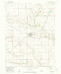
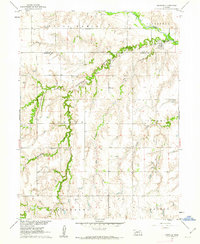
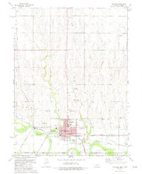
 1974 Nelson1977 Print · USGSMid-century Nelson and the surrounding Nuckolls County farmland are captured here during a period of agricultural stability and rail transit. Researchers can locate family landmarks like Salem Cemetery, the Fairground, and the Doher Landing Strip outside the town center.
 - 1974 Map of Bostwick, 1977 Print
 1974 Bostwick1977 Print · USGSThe Republican River valley along the Nebraska-Kansas border shows a landscape of rail-side settlements and irrigation canals in the 1970s. Researchers can locate the 2-R School, trace the Burlington Northern line through Bostwick, and follow the Courtland Canal.
 - 1985 Map of Fairbury
 1985 Fairbury1985 Print · USGSThe borderlands of Nebraska and Kansas thrive as a rail and agricultural hub in the mid-1980s. Genealogists and historians can trace local family lands near Fairbury or follow the historic Burlington Northern tracks through Hebron and Deshler.2 unique versions available
 - 1985 Map of Red Cloud
 1985 Red Cloud1985 Print · USGSSouth Central Nebraska and the Kansas borderlands appear in high detail during the mid-eighties as a landscape of river-fed agriculture and rail-connected prairie towns. Researchers can trace the Burlington Northern tracks through Red Cloud or locate the extensive Courtland Canal and Superior-Courtland Diversion Dam.2 unique versions available
Showing maps 1-25 of 85
Top cities of Nuckolls County
- Superior historical maps
- Nelson historical maps
- Lawrence historical maps
- Hardy historical maps
- Ruskin historical maps
- Oak historical maps
See more
Frequently asked questions
- What are the different types of historical maps available for Nuckolls County?
- What is the oldest map of Nuckolls County?
- Where can I purchase historical maps of Nuckolls County for my home or office?
- Where can I download high-res historical maps of Nuckolls County?
- Are there historical topographic maps available for Nuckolls County?
- Is there historical aerial imagery available for Nuckolls County?
- Where are historical maps of Nuckolls County sourced from?