2020s Maps of Oxford, Nebraska
Explore 4 historic maps of Oxford from the 2020s. These maps offer a rare glimpse into what life looked like during the 2020s — showing old roads, neighborhoods, homes, and landmarks that have changed or disappeared over time.
Whether you're researching your family's past, planning a metal detecting trip, or studying how Oxford's landscape evolved across the 2020s, these high-resolution maps are a powerful tool for exploring the history of this region.
- Focus on a specific era: All maps on this page are from the 2020s, giving you a focused view of this time period.
- See what’s changed: Compare century-old streets, trails, and buildings to today's modern landscape using overlays and satellite layers.
- Research with precision: Use these maps for genealogy, historical research, land use analysis, or educational projects.
- View, download, or print: Maps are fully viewable online in high resolution, and can be downloaded or printed for your own records.
Start exploring Oxford's history through authentic maps from the 2020s. This is your window into the past.
Oxford, NE maps
(4)- 2021 Map of Hollinger, 2021 Print
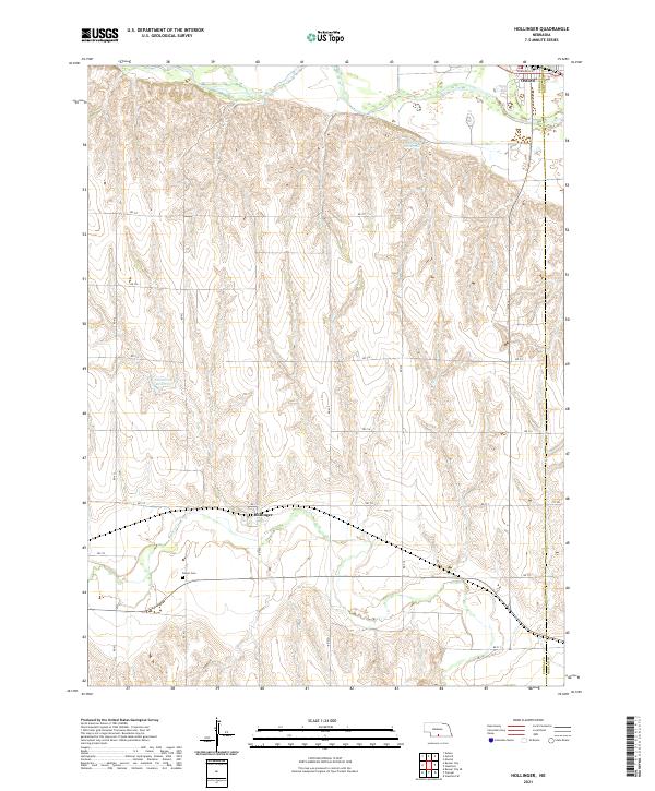 2021 Hollinger2021 Print · USGSThe Furnas and Harlan county line landscape of southern Nebraska comes into focus here, showing the region's agricultural heart. Researchers can locate the Turner Cem near Beaver Creek and the quiet street grid of the village of Hollinger.
 - 2021 Map of Mascot, 2021 Print
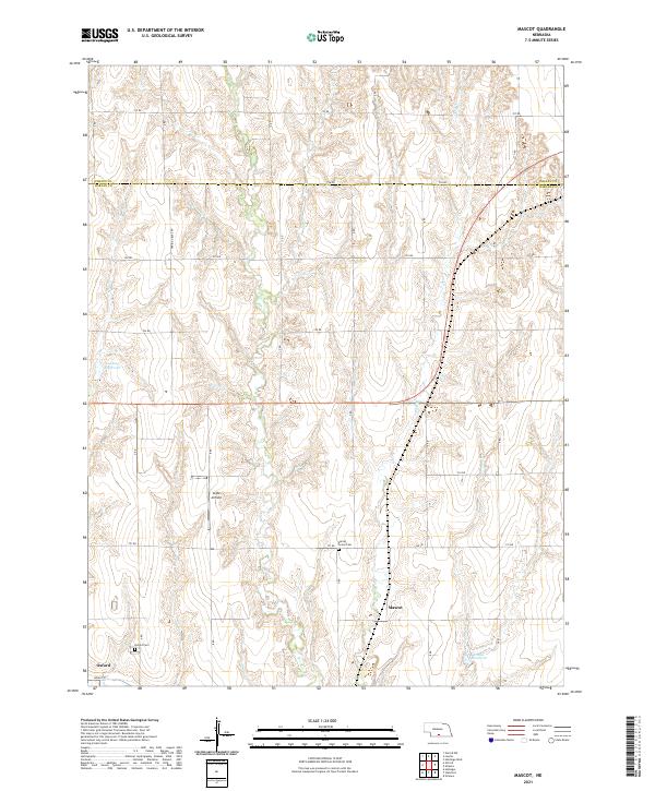 2021 Mascot2021 Print · USGSHarlan and Phelps counties are captured here in the early twenty-first century, showing the enduring grid of rural Nebraska. You can trace the locations of Spring Grove Cem, the small settlement of Mascot, and the local Clyde Airfield.
 - 2021 Map of Stamford, 2021 Print
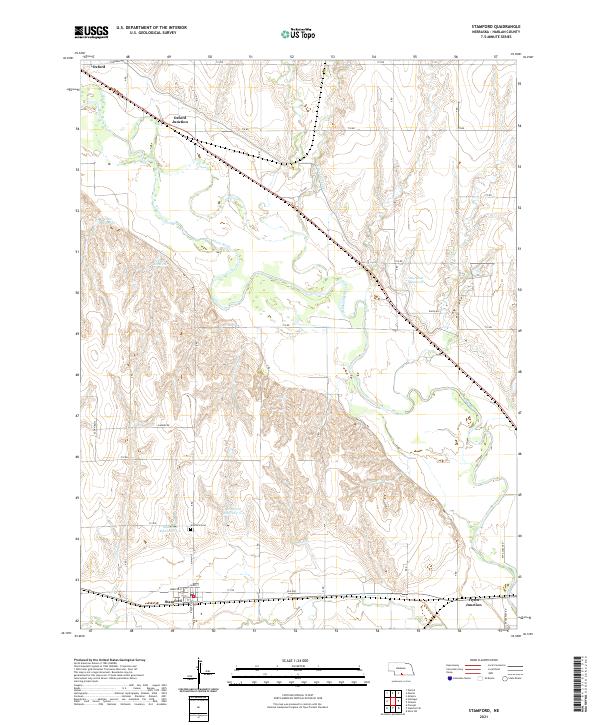 2021 Stamford2021 Print · USGSHarlan County is documented here in the early 2020s, showcasing a landscape shaped by the Republican River and the rural town of Stamford. Researchers can trace local landmarks like Stamford Cem and the path of the Cambridge Canal through the valley.
 - 2021 Map of Oxford, 2021 Print
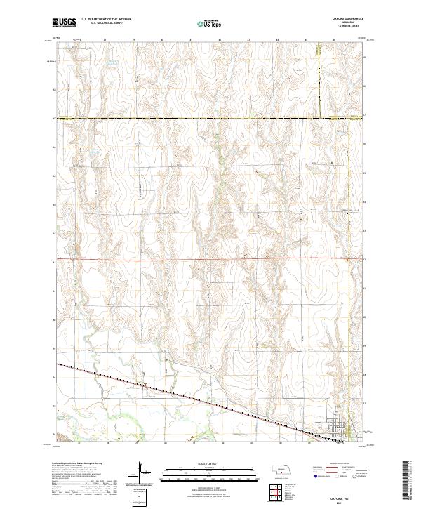 2021 Oxford2021 Print · USGSOxford and the surrounding plains of Furnas and Harlan Counties are shown in this modern survey. Researchers can trace rural land divisions near Oxford or locate historical burial sites like Kellner Cem along the slopes of Sanderson Ridge.
End of results
Showing maps 1-4 of 4
Top cities near Oxford
- Beaver City historical maps
- Orleans historical maps
- Loomis historical maps
- Stamford historical maps
- Edison historical maps
- Atlanta historical maps
Frequently asked questions
- What are the different types of historical maps available for Oxford?
- What is the oldest map of Oxford?
- Where can I purchase historical maps of Oxford for my home or office?
- Where can I download high-res historical maps of Oxford?
- Are there historical topographic maps available for Oxford?
- Is there historical aerial imagery available for Oxford?
- Where are historical maps of Oxford sourced from?