Old Maps of Gretna, Nebraska for Academic Research
Study the evolution of Gretna with 26 high-resolution historic maps. Whether you're teaching, researching, or modeling changes in land use, these maps provide essential visual documentation of urban, environmental, and geographic change.
- Analyze long-term change: Track patterns in development, transportation, and natural features.
- Ideal for environmental or urban studies: Support academic projects with primary historical map data.
- Use in the classroom or lab: Educators and researchers rely on these maps to bring historical context to life.
These maps are a powerful tool for teaching, research, and visualizing how Gretna has changed over the decades.
Gretna, NE maps
(26)- 1893 Map of Fremont, 1960 Print
 1893 Fremont1960 Print · USGSEastern Nebraska was a nexus of river navigation and rail expansion in the 1890s as the prairie gave way to organized township grids. Genealogists and historians can trace early settlements and transportation corridors through Fort Calhoun, the growth of Fremont, and the junctions of the Union Pacific R.R..
 - 1896 Map of Fremont
 1896 Fremont1896 Print · USGSThe rail-driven growth of eastern Nebraska is captured here in the late nineteenth century as steam power connected the prairie. Researchers can trace ancestral roots through dozens of established settlements like Fontanelle, Gretna, and Papillion, or follow the historic routes of the Union Pacific R.R. and the Elkhorn River.5 unique versions available
 - 1955 Map of Fremont, 1966 Print
 1955 Fremont1966 Print · USGSEastern Nebraska and the Missouri River border are captured during the mid-fifties, just as the interstate system began to emerge. Researchers can trace the development of Omaha, locate the sprawling Offutt Air Force Base, or study the river-bound ecology of the De Soto National Wildlife Refuge.3 unique versions available
 - 1956 Map of Gretna, 1957 Print
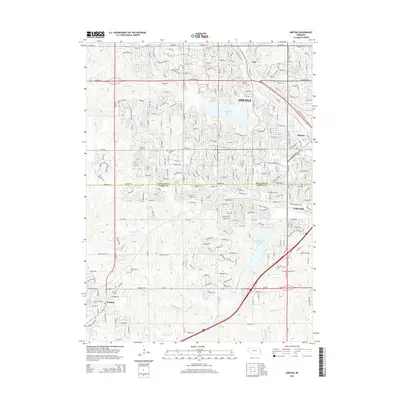
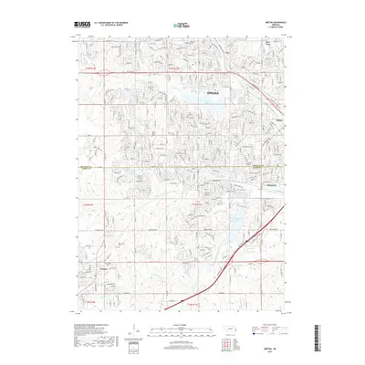
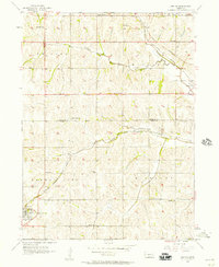 1956 Gretna1957 Print · USGSEastern Nebraska farming communities and rail stops are captured here in the mid-fifties, showing the landscape before the expansion of the Omaha metro area. Genealogists can locate family burial sites at Mt Auburn Cem and trace dozens of local school districts like LaBelle Sch and Stender Sch.6 unique versions available
 - 1956 Map of Springfield, 1957 Print
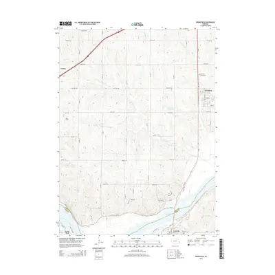
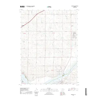
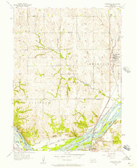 1956 Springfield1957 Print · USGSThe banks of the Platte River and the bustling rail lines of Sarpy County are captured here in the mid-fifties. Researchers can trace numerous rural schoolhouses like Stringtown Sch and Sanborn Sch or explore the riverfront near Meadow.4 unique versions available
 - 1957 Map of Fremont
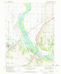
 1957 Fremont1957 Print · USGSEastern Nebraska and western Iowa thrive along the Platte and Missouri rivers during the mid-fifties. Genealogists can locate small rural schools like Fairview School and tracing the paths of the Union Pacific through towns like Albion and Humphrey.
 - 1958 Map of Fremont
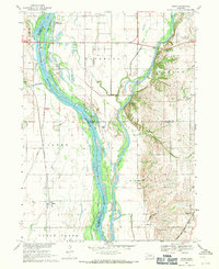
 1958 Fremont1958 Print · USGSEastern Nebraska in the late fifties is captured here as a thriving corridor of river-valley commerce and rail transport. Researchers can trace the development of Omaha and Fremont or locate local landmarks like Midland College and Offutt Air Force Base.
 - 1968 Map of Ashland East, 1970 Print
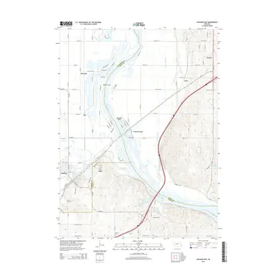
 1968 Ashland East1970 Print · USGSThe Platte River valley in the late sixties shows a landscape shaped by river transport and military training. Genealogists and local historians can trace the foundations of Ashland or locate rural landmarks like Wortman Cem and the Camp Ashland military site.4 unique versions available
 - 1968 Map of Wann, 1971 Print
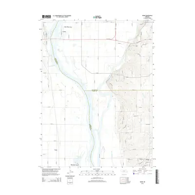
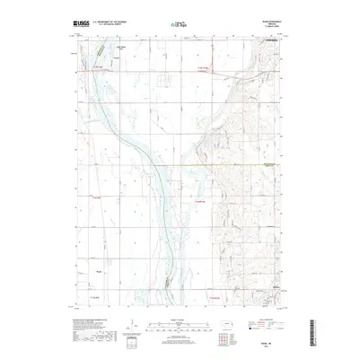
 1968 Wann1971 Print · USGSThe confluence of the Platte and Elkhorn rivers in the late 1960s reveals a landscape shaped by water and rail. Genealogists and local historians can locate Holy Sepulcher Cem, the small settlement of Venice, and Two Rivers Ch near the banks of the Platte River.2 unique versions available
 - 1982 Map of Fremont
 1982 Fremont1982 Print · USGSEastern Nebraska in the early eighties exhibits a landscape of industrious rail towns and river-fed agriculture. Genealogists and historians can trace the development of Fremont, locate the National Cem, and find landmarks like the Todd Valley.2 unique versions available
 - 2011 Map of Gretna, 2011 Print
 2011 Gretna2011 Print · USGSCovers Gretna, including Omaha, Papillion, and other nearby areas
 - 2011 Map of Wann, 2011 Print
 2011 Wann2011 Print · USGSCovers Gretna, including Omaha, Venice, and other nearby areas
 - 2011 Map of Ashland East, 2011 Print
 2011 Ashland East2011 Print · USGSCovers Gretna, including Ashland, South Bend, and other nearby areas
 - 2011 Map of Springfield, 2011 Print
 2011 Springfield2011 Print · USGSCovers Gretna, including Papillion, Springfield, and other nearby areas
 - 2014 Map of Springfield, 2014 Print
 2014 Springfield2014 Print · USGSCovers Gretna, including Papillion, Springfield, and other nearby areas
 - 2014 Map of Wann, 2014 Print
 2014 Wann2014 Print · USGSCovers Gretna, including Omaha, Venice, and other nearby areas
 - 2014 Map of Ashland East, 2014 Print
 2014 Ashland East2014 Print · USGSCovers Gretna, including Ashland, South Bend, and other nearby areas
 - 2014 Map of Gretna, 2014 Print
 2014 Gretna2014 Print · USGSCovers Gretna, including Omaha, Papillion, and other nearby areas
 - 2017 Map of Springfield, 2017 Print
 2017 Springfield2017 Print · USGSCovers Gretna, including Papillion, Springfield, and other nearby areas
 - 2017 Map of Wann, 2017 Print
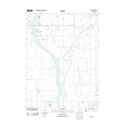
 2017 Wann2017 Print · USGSCovers Gretna, including Omaha, Venice, and other nearby areas
 - 2017 Map of Gretna, 2017 Print
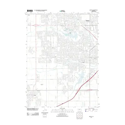
 2017 Gretna2017 Print · USGSCovers Gretna, including Omaha, Papillion, and other nearby areas
 - 2017 Map of Ashland East, 2017 Print
 2017 Ashland East2017 Print · USGSCovers Gretna, including Ashland, South Bend, and other nearby areas
 - 2021 Map of Wann, 2021 Print
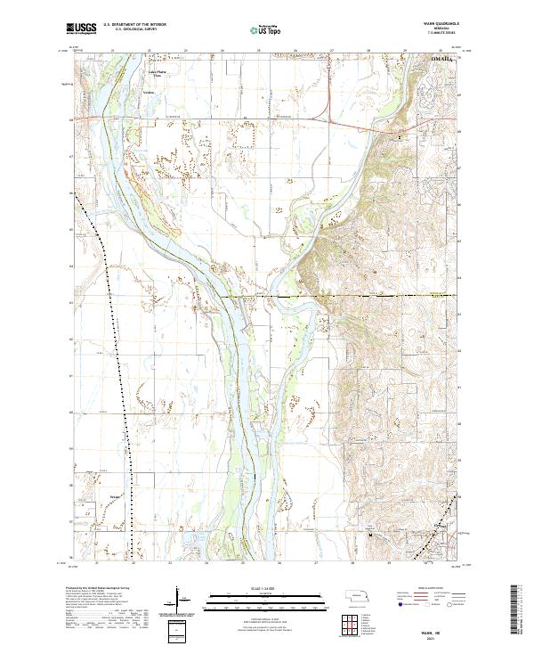 2021 Wann2021 Print · USGSThe confluence of the Platte River and Elkhorn River comes into focus in this recent study of the Nebraska river valley. Genealogists and local historians can trace the roads around Wann, Venice, and Gretna, or locate burials at Holy Sepulcher Cem.
 - 2021 Map of Ashland East, 2021 Print
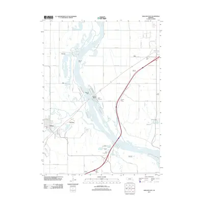
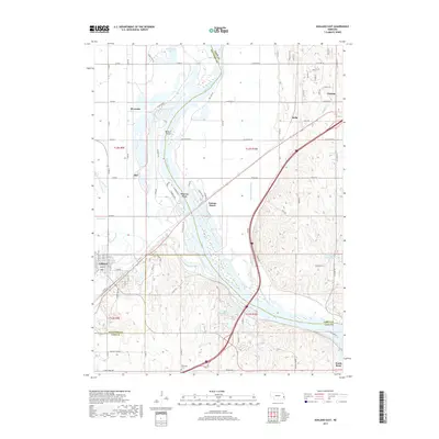
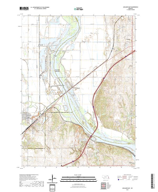 2021 Ashland East2021 Print · USGSThe Platte River valley south of Gretna comes into focus in the early 2020s, showing a landscape defined by riverside settlements and extensive water management. Genealogists and local historians can trace the streets of Ashland or locate the Wortman Cem and the leisure site at Linoma Beach.
 - 2021 Map of Springfield, 2021 Print
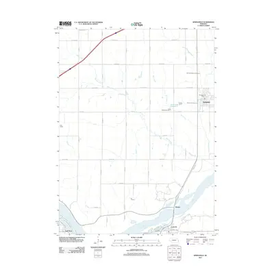
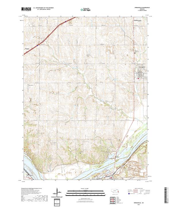 2021 Springfield2021 Print · USGSSarpy County during the early 2020s shows a structured landscape of growing towns and riverfront trails along the Platte River. Genealogists and local historians can trace burial sites at Ball Cem and Springfield Memorial Cem or follow The Narrows Trl near the river.
Showing maps 1-25 of 26
Top cities near Gretna
- Omaha historical maps
- Bellevue historical maps
- Papillion historical maps
- La Vista historical maps
- Ralston historical maps
- Ashland historical maps
See more
Frequently asked questions
- What are the different types of historical maps available for Gretna?
- What is the oldest map of Gretna?
- Where can I purchase historical maps of Gretna for my home or office?
- Where can I download high-res historical maps of Gretna?
- Are there historical topographic maps available for Gretna?
- Is there historical aerial imagery available for Gretna?
- Where are historical maps of Gretna sourced from?