Old Maps of Memphis, Nebraska
Explore 11 old maps of Memphis, spanning from 1893 to today. These high-resolution historic maps reveal how streets, neighborhoods, landmarks, and natural features evolved over time — perfect for genealogy, metal detecting, research, and local history exploration.
What you can do with these maps:
- See how Memphis changed over time: Compare historical maps to modern-day views to trace roads, homesites, rail lines & more.
- View detailed metadata: Each map includes creators, publishers, year, scale, and archive source.
- Overlay maps with satellite & LiDAR: Visualize the past alongside modern tools to explore terrain & human change.
- Trusted historical sources: Maps sourced from the USGS, Library of Congress, and other archives.
- Access maps your way: View online, download high-res files, or order prints for personal or research use.
Start exploring old maps of Memphis to uncover forgotten places, hidden landmarks, and the deep history beneath your feet.
Memphis, NE maps
(11)- 1893 Map of Fremont, 1960 Print
 1893 Fremont1960 Print · USGSEastern Nebraska was a nexus of river navigation and rail expansion in the 1890s as the prairie gave way to organized township grids. Genealogists and historians can trace early settlements and transportation corridors through Fort Calhoun, the growth of Fremont, and the junctions of the Union Pacific R.R..
 - 1896 Map of Fremont
 1896 Fremont1896 Print · USGSThe rail-driven growth of eastern Nebraska is captured here in the late nineteenth century as steam power connected the prairie. Researchers can trace ancestral roots through dozens of established settlements like Fontanelle, Gretna, and Papillion, or follow the historic routes of the Union Pacific R.R. and the Elkhorn River.5 unique versions available
 - 1955 Map of Fremont, 1966 Print
 1955 Fremont1966 Print · USGSEastern Nebraska and the Missouri River border are captured during the mid-fifties, just as the interstate system began to emerge. Researchers can trace the development of Omaha, locate the sprawling Offutt Air Force Base, or study the river-bound ecology of the De Soto National Wildlife Refuge.3 unique versions available
 - 1957 Map of Fremont
 1957 Fremont1957 Print · USGSEastern Nebraska and western Iowa thrive along the Platte and Missouri rivers during the mid-fifties. Genealogists can locate small rural schools like Fairview School and tracing the paths of the Union Pacific through towns like Albion and Humphrey.
 - 1958 Map of Fremont
 1958 Fremont1958 Print · USGSEastern Nebraska in the late fifties is captured here as a thriving corridor of river-valley commerce and rail transport. Researchers can trace the development of Omaha and Fremont or locate local landmarks like Midland College and Offutt Air Force Base.
 - 1969 Map of Ashland West, 1971 Print
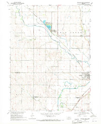 1969 Ashland West1971 Print · USGSThe Saunders County countryside near the tri-county border is captured here in the late sixties, showcasing a landscape of winding creeks and rail-side towns. Genealogists and local historians can trace rural school locations like School No 3, the Burlington Northern rail corridor, and burial sites such as Carr Cem.
 - 1982 Map of Fremont
 1982 Fremont1982 Print · USGSEastern Nebraska in the early eighties exhibits a landscape of industrious rail towns and river-fed agriculture. Genealogists and historians can trace the development of Fremont, locate the National Cem, and find landmarks like the Todd Valley.2 unique versions available
 - 2011 Map of Ashland West, 2011 Print
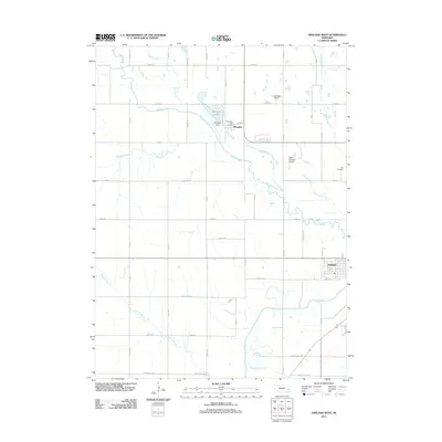 2011 Ashland West2011 Print · USGSSaunders County near the start of the 2010s is a landscape of creek-side villages and rural airstrips. Genealogists and local historians can trace the grid roads surrounding Memphis, locate Carr Cemetery, and follow the winding courses of Wahoo Creek and Salt Creek.
 - 2014 Map of Ashland West, 2014 Print
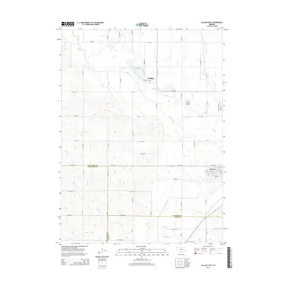 2014 Ashland West2014 Print · USGSAshland and Memphis appear at a crossroads of three Nebraska counties in this 2014 survey. Researchers can trace rural lineages at Carr Cem or follow the winding courses of Salt Creek and Wahoo Creek as they drain the surrounding farmland.
 - 2017 Map of Ashland West, 2017 Print
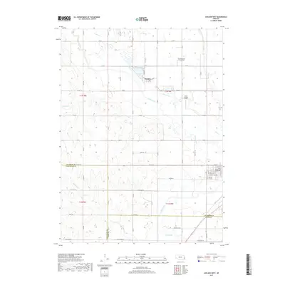 2017 Ashland West2017 Print · USGSEastern Nebraska's rural landscapes are documented here as they appeared recently, showing the intersection of Saunders, Lancaster, and Cass counties. Genealogists and local historians can trace family locations near the Carr Cem or follow the paths of Wahoo Creek and Silver Creek through the towns of Ashland and Memphis.
 - 2021 Map of Ashland West, 2021 Print
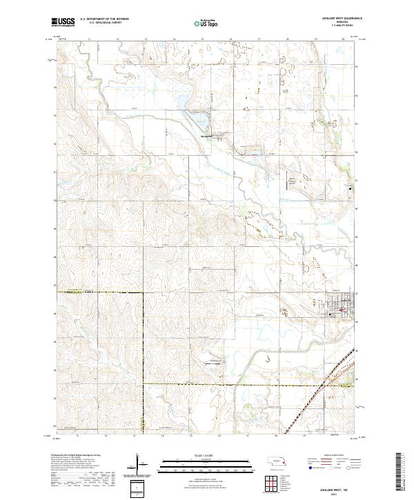 2021 Ashland West2021 Print · USGSEastern Nebraska's agricultural heartland is documented here in the early twenty-first century as it spans the Saunders and Lancaster county lines. Genealogists can trace family landmarks like Carr Cem and Ashland Cem or locate rural airstrips such as Treadway Air.
End of results
Showing maps 1-11 of 11
Top cities near Memphis
- Omaha historical maps
- Lincoln historical maps
- Gretna historical maps
- Wahoo historical maps
- Waverly historical maps
- Ashland historical maps
See more
Frequently asked questions
- What are the different types of historical maps available for Memphis?
- What is the oldest map of Memphis?
- Where can I purchase historical maps of Memphis for my home or office?
- Where can I download high-res historical maps of Memphis?
- Are there historical topographic maps available for Memphis?
- Is there historical aerial imagery available for Memphis?
- Where are historical maps of Memphis sourced from?