Old Maps of Elyria, Nebraska for Genealogy
Trace your family roots with 9 historic maps of Elyria. These high-res maps reveal old neighborhoods, homesites, landmarks, and streets — helping you uncover where your ancestors lived and how the area evolved over time.
- Explore historic neighborhoods: Identify where your relatives may have lived in the 1800s or 1900s.
- Compare maps over time: Trace the changes in streets, buildings, and landmarks for multi-generational research.
- Perfect for genealogy & ancestry research: Used by family historians and researchers to map out lineage and migration.
These maps are an incredible resource for exploring your personal connection to Elyria's past.
Elyria, NE maps
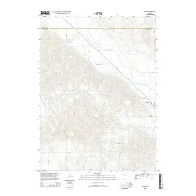
(9)- 1952 Map of Elyria, 1954 Print
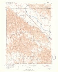 1952 Elyria1954 Print · USGSValley County farming and rail life are centered on the river in the early fifties. Genealogists and historians can locate the Site of Fort Hartsuff, the Elyria Cem, and rural schools like Sunnyside Sch or Goodenow Sch.2 unique versions available
 - 1955 Map of Broken Bow
 1955 Broken Bow1955 Print · USGSCentral Nebraska in the mid-fifties is defined by the sweeping Sand Hills and the vital river valleys that supported its ranching and rail towns. Researchers can trace the rail corridors of the Union Pacific RR and locate settlements like Dannebrog, Broken Bow, and Brewster.5 unique versions available
 - 1956 Map of Broken Bow
 1956 Broken Bow1956 Print · USGSCentral Nebraska during the mid-fifties reveals a region defined by its river-valley railroads and the rolling Sand Hills. Genealogists and local historians can trace the paths of the Chicago Burlington and Quincy through towns like Broken Bow, Merna, and Anselmo.
 - 1985 Map of Burwell
 1985 Burwell1985 Print · USGSCentral Nebraska in the mid-eighties reveals a landscape shaped by the Middle Loup River and the Burlington Northern rail line. Researchers can trace the layout of small towns like Sargent, Anselmo, and Burwell or locate New Helena and Victoria Springs State Recreation Area.
 - 1994 Map of Burwell
 1994 Burwell1994 Print · USGSThe Nebraska Sandhills region is captured here in the mid-nineties, showing a landscape shaped by the Loup River systems and vital irrigation networks. Researchers can trace the development of small towns like Burwell and Brewster or locate landmarks like the Milburn Diversion Dam.
 - 2011 Map of Elyria, 2011 Print
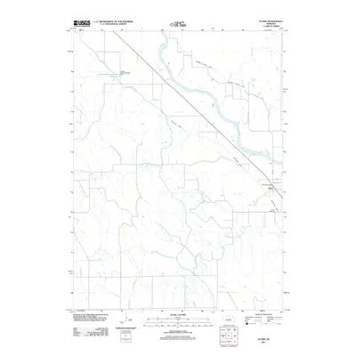 2011 Elyria2011 Print · USGSCovers Elyria, including Garfield County, Valley County, and other nearby areas
 - 2014 Map of Elyria, 2014 Print
 2014 Elyria2014 Print · USGSCovers Elyria, including Garfield County, Valley County, and other nearby areas
 - 2017 Map of Elyria, 2017 Print
 2017 Elyria2017 Print · USGSCovers Elyria, including Garfield County, Valley County, and other nearby areas
 - 2021 Map of Elyria, 2021 Print
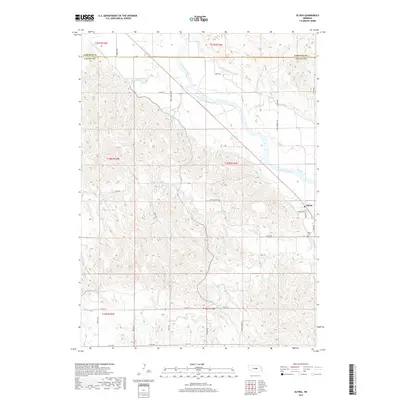
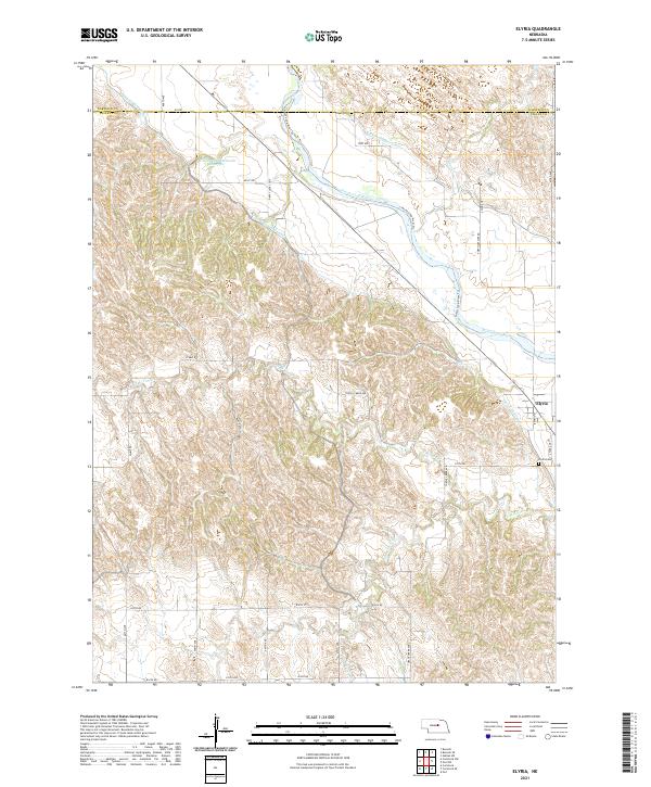 2021 Elyria2021 Print · USGSValley County farming and irrigation come into focus during the early 2020s near the village of Elyria. Genealogists and historians can trace local landmarks like Elyria Cem and the intricate flow of the Taylor-Ord Canal and North Loup River.
End of results
Showing maps 1-9 of 9
Top cities near Elyria
Frequently asked questions
- What are the different types of historical maps available for Elyria?
- What is the oldest map of Elyria?
- Where can I purchase historical maps of Elyria for my home or office?
- Where can I download high-res historical maps of Elyria?
- Are there historical topographic maps available for Elyria?
- Is there historical aerial imagery available for Elyria?
- Where are historical maps of Elyria sourced from?