Old Maps of Bunkerville, Nevada
Explore 13 old maps of Bunkerville, spanning from 1886 to today. These high-resolution historic maps reveal how streets, neighborhoods, landmarks, and natural features evolved over time — perfect for genealogy, metal detecting, research, and local history exploration.
What you can do with these maps:
- See how Bunkerville changed over time: Compare historical maps to modern-day views to trace roads, homesites, rail lines & more.
- View detailed metadata: Each map includes creators, publishers, year, scale, and archive source.
- Overlay maps with satellite & LiDAR: Visualize the past alongside modern tools to explore terrain & human change.
- Trusted historical sources: Maps sourced from the USGS, Library of Congress, and other archives.
- Access maps your way: View online, download high-res files, or order prints for personal or research use.
Start exploring old maps of Bunkerville to uncover forgotten places, hidden landmarks, and the deep history beneath your feet.
Bunkerville, NV maps
(13)- 1886 Map of Saint Thomas
 1886 Saint Thomas1886 Print · USGSSoutheastern Nevada's river valleys and early trails are captured here in the late nineteenth century, long before the creation of Lake Mead. Genealogists and historians can locate early settlements like Saint Thomas and Old Callville, and trace river crossings at Stone Ferry and Scanlon Ferry.6 unique versions available
 - 1893 Map of Saint Thomas
 1893 Saint Thomas1893 Print · USGSSouthern Nevada at the close of the nineteenth century reveals a network of river-based settlements and trails. Genealogists and researchers can trace the early locations of Saint Thomas, Old Callville, and the Stone Ferry crossing.
 - 1954 Map of Las Vegas
 1954 Las Vegas1954 Print · USGSLas Vegas and the Mojave Desert are shown in the early fifties as the region's military and recreational footprint expanded. Genealogists and historians can trace the early layout of North Las Vegas, the sites of Indian Springs Air Force Base, and long-established towns like Bunkerville.5 unique versions available
 - 1957 Map of Las Vegas
 1957 Las Vegas1957 Print · USGSSouthern Nevada in the mid-fifties is a landscape of massive federal ranges and the early growth of Las Vegas. Researchers can trace the development of McCarran Field, the expansive Lake Mead National Recreation Area, and the industrial footprint of Henderson.
 - 1957 Map of Mesquite, 1959 Print
 1957 Mesquite1959 Print · USGSMesquite and the Virgin River valley appear here in the late fifties, during a period of steady growth along the old highway corridors. Researchers can trace the layout of early Bunkerville and Mesquite, locating the cemetery, local Airport, and various water controls along the Virgin River.2 unique versions available
 - 1959 Map of Las Vegas
 1959 Las Vegas1959 Print · USGSSouthern Nevada in the late fifties was a landscape of rapid suburban growth and massive federal installations. Genealogists and historians can trace early housing at Victory Village, the grounds of Camp Desert Rock, and the remote Tule Springs Ranch.
 - 1962 Map of Las Vegas
 1962 Las Vegas1962 Print · USGSSouthern Nevada is captured here during a period of significant military and industrial growth in the early sixties. Researchers can trace the development of Las Vegas alongside the Magnesium Plant in Henderson and the expansive Nellis Air Force Base.
 - 1985 Map of Flat Top Mesa
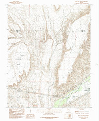 1985 Flat Top Mesa1985 Print · USGSBunkerville and the Virgin River valley are captured in the mid-1980s as agricultural life persisted between towering desert plateaus. Researchers can trace the path of the Bunkerville Ditch and explore the rugged borders of Flat Top Mesa and Mormon Mesa.
 - 1987 Map of Overton, 1988 Print
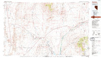 1987 Overton1988 Print · USGSSoutheastern Nevada at the end of the 1980s reveals a desert landscape of river-valley settlements and vast public lands. Trace the Union Pacific line through Moapa or locate family sites in Logandale and Bunkerville along the Virgin River.2 unique versions available
 - 2012 Map of Flat Top Mesa, 2012 Print
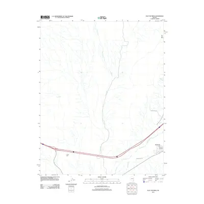 2012 Flat Top Mesa2012 Print · USGSBunkerville and the Virgin Valley are captured here in the early twenty-first century, showing the vital irrigation and transport networks of southeastern Nevada. Researchers can trace the path of the Bunkerville Ditch and locate the Bunkerville Post Office or the drainage of Toquop Wash.
 - 2014 Map of Flat Top Mesa, 2014 Print
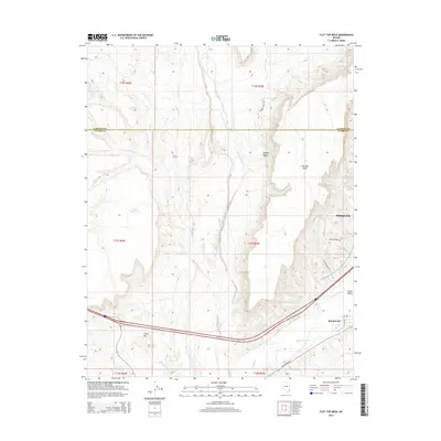 2014 Flat Top Mesa2014 Print · USGSMesquite and Bunkerville sit along the life-giving corridor of the Virgin River in this 2014 survey of southern Nevada. Researchers can trace the layout of the Mojave Desert landscape, from the heights of Flat Top Mesa to the Bunkerville Ditch.
 - 2018 Map of Flat Top Mesa, 2018 Print
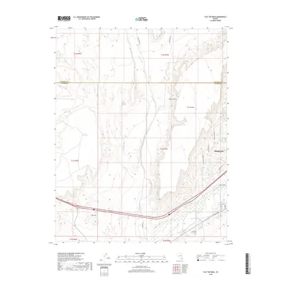 2018 Flat Top Mesa2018 Print · USGSMesquite and the surrounding desert landscape are captured here in the late 2010s as the city expands toward the Virgin River. Trace the path of the Bunkerville Ditch or follow the rugged route of The Plateau Passage past Flat Top Mesa.
 - 2021 Map of Flat Top Mesa, 2021 Print
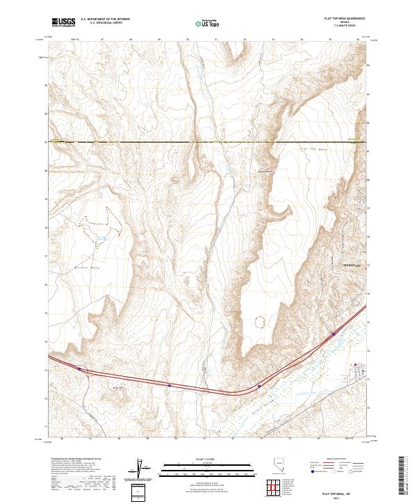 2021 Flat Top Mesa2021 Print · USGSThe Clark and Lincoln county borderlands come alive in this recent survey of the northeast Mojave. Trace the intersection of desert terrain and modern growth from Mesquite to the Virgin River and landmarks like Mormon Mesa.
End of results
Showing maps 1-13 of 13
Top cities near Bunkerville
Frequently asked questions
- What are the different types of historical maps available for Bunkerville?
- What is the oldest map of Bunkerville?
- Where can I purchase historical maps of Bunkerville for my home or office?
- Where can I download high-res historical maps of Bunkerville?
- Are there historical topographic maps available for Bunkerville?
- Is there historical aerial imagery available for Bunkerville?
- Where are historical maps of Bunkerville sourced from?