Old Maps of Rancho Circle, Las Vegas for Academic Research
Study the evolution of Rancho Circle with 15 high-resolution historic maps. Whether you're teaching, researching, or modeling changes in land use, these maps provide essential visual documentation of urban, environmental, and geographic change.
- Analyze long-term change: Track patterns in development, transportation, and natural features.
- Ideal for environmental or urban studies: Support academic projects with primary historical map data.
- Use in the classroom or lab: Educators and researchers rely on these maps to bring historical context to life.
These maps are a powerful tool for teaching, research, and visualizing how Rancho Circle has changed over the decades.
Rancho Circle, Las Vegas maps
(15)- 1907 Map of Las Vegas, 1956 Print
 1907 Las Vegas1956 Print · USGSSouthern Nevada is shown at a pivotal moment in the early 1900s as the rail network began to transform the desert landscape. Genealogists and historians can locate early homesteads and landmarks like Las Vegas Ranch, Mormon Well, and the Stirling Mine.
 - 1908 Map of Las Vegas
 1908 Las Vegas1908 Print · USGSSouthern Nevada was a frontier of rail and ranching in the years before major desert expansion. Trace the early footprints of Las Vegas and its surrounding outposts like Arden, Bracken, and the Stirling Mine.4 unique versions available
 - 1952 Map of Las Vegas, 1956 Print
 1952 Las Vegas1956 Print · USGSLas Vegas and its early suburbs are captured here in the early fifties during a period of rapid post-war aviation and industrial expansion. Researchers can trace family-named sites like Warm Springs Ranch and vanished landmarks like the Las Vegas Race Track or Mc Carran Field.
 - 1954 Map of Las Vegas
 1954 Las Vegas1954 Print · USGSLas Vegas and the Mojave Desert are shown in the early fifties as the region's military and recreational footprint expanded. Genealogists and historians can trace the early layout of North Las Vegas, the sites of Indian Springs Air Force Base, and long-established towns like Bunkerville.5 unique versions available
 - 1957 Map of Las Vegas
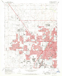
 1957 Las Vegas1957 Print · USGSSouthern Nevada in the mid-fifties is a landscape of massive federal ranges and the early growth of Las Vegas. Researchers can trace the development of McCarran Field, the expansive Lake Mead National Recreation Area, and the industrial footprint of Henderson.
 - 1959 Map of Las Vegas
 1959 Las Vegas1959 Print · USGSSouthern Nevada in the late fifties was a landscape of rapid suburban growth and massive federal installations. Genealogists and historians can trace early housing at Victory Village, the grounds of Camp Desert Rock, and the remote Tule Springs Ranch.
 - 1962 Map of Las Vegas
 1962 Las Vegas1962 Print · USGSSouthern Nevada is captured here during a period of significant military and industrial growth in the early sixties. Researchers can trace the development of Las Vegas alongside the Magnesium Plant in Henderson and the expansive Nellis Air Force Base.
 - 1967 Map of Las Vegas NW, 1968 Print
 1967 Las Vegas NW1968 Print · USGSMid-century Nevada comes alive in this survey of the desert metropolis during its rapid post-war expansion. Local historians can trace the foundations of modern neighborhoods through dozens of schools like Culley Sch and landmarks such as the North Las Vegas Air Terminal.6 unique versions available
 - 1973 Map of Las Vegas NW, 1978 Print
 1973 Las Vegas NW1978 Print · USGSThe Nevada desert meets rapid suburban expansion in the early 1970s as residential grids push across the valley floor. Trace the development of Las Vegas and North Las Vegas, including the runways of the North Las Vegas Air Terminal.
 - 1986 Map of Las Vegas
 1986 Las Vegas1986 Print · USGSThe Mojave Desert landscape around mid-1980s Las Vegas reveals a city in transition, surrounded by vast federal preserves and the high peaks of the Spring Mountains. Trace the development of Henderson and Arden, or locate remote landmarks like Gagnier Station and the Calico Hills.4 unique versions available
 - 2012 Map of Las Vegas NW, 2012 Print
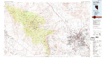
 2012 Las Vegas NW2012 Print · USGSCovers Rancho Circle, including Las Vegas, North Las Vegas, and other nearby areas
 - 2015 Map of Las Vegas NW, 2015 Print
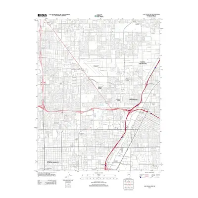
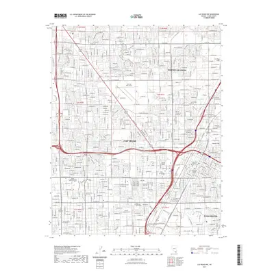
 2015 Las Vegas NW2015 Print · USGSCovers Rancho Circle, including Las Vegas, North Las Vegas, and other nearby areas
 - 2018 Map of Las Vegas NW, 2018 Print
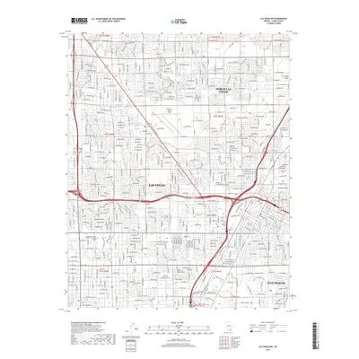 2018 Las Vegas NW2018 Print · USGSCovers Rancho Circle, including Las Vegas, North Las Vegas, and other nearby areas
 - 2021 Map of Las Vegas NW, 2021 Print
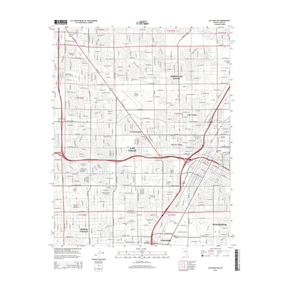
 2021 Las Vegas NW2021 Print · USGSCovers Rancho Circle, including Las Vegas, North Las Vegas, and other nearby areas
 - 2023 Map of Las Vegas NW, 2023 Print
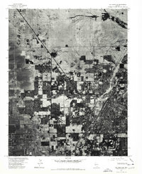
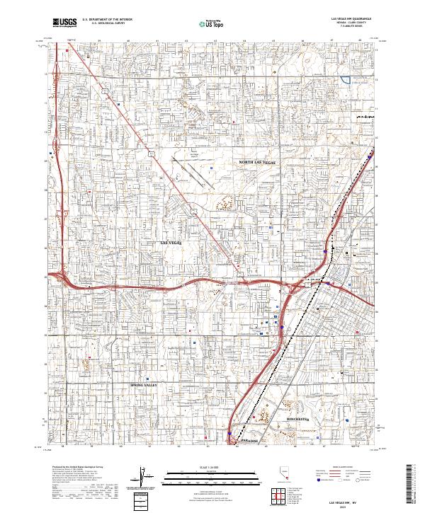 2023 Las Vegas NW2023 Print · USGSThe Clark County metropolitan area is shown here in its modern complexity as it reaches across the floor of the Las Vegas Valley. Researchers can trace specific landmarks from the North Las Vegas Airport to the Woodlawn Cem and the Union Pacific Railroad corridor.
End of results
Showing maps 1-15 of 15
Frequently asked questions
- What are the different types of historical maps available for Rancho Circle?
- What is the oldest map of Rancho Circle?
- Where can I purchase historical maps of Rancho Circle for my home or office?
- Where can I download high-res historical maps of Rancho Circle?
- Are there historical topographic maps available for Rancho Circle?
- Is there historical aerial imagery available for Rancho Circle?
- Where are historical maps of Rancho Circle sourced from?