Old Maps of Kingsbury Village, Nevada
Explore 16 old maps of Kingsbury Village, spanning from 1889 to today. These high-resolution historic maps reveal how streets, neighborhoods, landmarks, and natural features evolved over time — perfect for genealogy, metal detecting, research, and local history exploration.
What you can do with these maps:
- See how Kingsbury Village changed over time: Compare historical maps to modern-day views to trace roads, homesites, rail lines & more.
- View detailed metadata: Each map includes creators, publishers, year, scale, and archive source.
- Overlay maps with satellite & LiDAR: Visualize the past alongside modern tools to explore terrain & human change.
- Trusted historical sources: Maps sourced from the USGS, Library of Congress, and other archives.
- Access maps your way: View online, download high-res files, or order prints for personal or research use.
Start exploring old maps of Kingsbury Village to uncover forgotten places, hidden landmarks, and the deep history beneath your feet.
Kingsbury Village, NV maps
(16)- 1889 Map of Markleeville, 1954 Print
 1889 Markleeville1954 Print · USGSThe high Sierra and Carson Valley come alive in the late nineteenth century, showing a network of stage stops and mountain camps. Researchers can trace early settlements and family landmarks such as Markleeville, Walleys Hot Springs, and Tim Smiths.
 - 1891 Map of Markleeville
 1891 Markleeville1891 Print · USGSThe High Sierra and Carson Valley frontier come alive in the late nineteenth century, showing the rugged borderlands of California and Nevada. Researchers can trace early waystations and family outposts like Twelve Mile House, Hangman's Bridge, and Walleys Hot Springs.
 - 1893 Map of Markleeville
 1893 Markleeville1893 Print · USGSThe high Sierra and Carson Valley come alive in the 1890s, capturing the early settlements and mountain passes of the California-Nevada borderlands. Genealogists and historians can trace pioneer landmarks like Walleys Hot Springs, Twelve Mile House, and Sierra House during a time of early ranching and transit.9 unique versions available
 - 1948 Map of Walker Lake
 1948 Walker Lake1948 Print · USGSThe high desert of Nevada and the eastern Sierra Nevada are captured just after the war as mining and ranching shaped the local economy. Genealogists can trace family connections to centers like Hawthorne and Mina or locate the historic Rockland Mines and Aurora.2 unique versions available
 - 1955 Map of Bijou, 1957 Print
 1955 Bijou1957 Print · USGSThe south shore of Lake Tahoe in the mid-fifties shows a burgeoning community of lakefront resorts and mountain camps along the state line. Genealogists and researchers can trace the early development of Stateline, the Sierra House (Site), and Happy Homestead Cemetery.7 unique versions available
 - 1956 Map of Freel Peak, 1958 Print
 1956 Freel Peak1958 Print · USGSThe South Lake Tahoe region and Carson Valley are shown here in the mid-fifties, just as alpine recreation began to expand. Genealogists and historians can trace family burial sites at Happy Homestead Cemetery or locate early settlements like Sierra House and Dangberg Camp.3 unique versions available
 - 1957 Map of Walker Lake
 1957 Walker Lake1957 Print · USGSThe Nevada-California borderlands in the mid-1950s show a rugged network of mining camps and river-valley towns centered around Walker Lake. Researchers can trace the Southern Pacific rail line and locate historical sites like Bodie, Sodaville, and the Leviathan Sulphur Mine.4 unique versions available
 - 1962 Map of Walker Lake
 1962 Walker Lake1962 Print · USGSThe high desert of western Nevada and the Sierra Nevada crest meet in this mid-century study of the Eastern Sierra frontier. Researchers can trace the Southern Pacific rail lines connecting Hawthorne to remote mining outposts like Bodie, Aurora, and Mina.
 - 1964 Map of Walker Lake
 1964 Walker Lake1964 Print · USGSThe high desert and the Sierra Nevada peaks come together in the mid-1960s, showing a landscape defined by mining, military installations, and vast wilderness. Genealogists and historians can trace the remnants of old mining camps at Bodie or Candelaria and follow the Southern Pacific rail lines.2 unique versions available
 - 1974 Map of South Lake Tahoe, 1977 Print
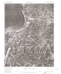 1974 South Lake Tahoe1977 Print · USGSThe California-Nevada border at the lake's southern edge comes into sharp focus during the mid-seventies, showing the density of mountain development. Trace the early layout of South Lake Tahoe and Stateline against the backdrop of the Carson Range.
 - 1985 Map of Smith Valley
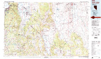 1985 Smith Valley1985 Print · USGSThe Nevada-California borderlands are captured here in the mid-1980s, showcasing the high-desert valleys and Sierra peaks. Trace the mining history at Leviathan Mine or explore the early communities of Minden, Wellington, and the Washoe Indian Res.2 unique versions available
 - 1992 Map of South Lake Tahoe, 1994 Print
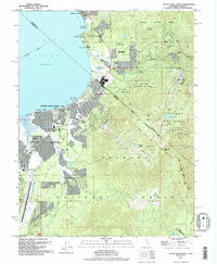 1992 South Lake Tahoe1994 Print · USGSSouth Lake Tahoe is shown in the early nineties as a bustling cross-border hub of recreation and commerce. Trace the historic Von Schmidt Line, find local landmarks like Happy Homestead Cem, or explore the development around Stateline.
 - 2012 Map of South Lake Tahoe, 2012 Print
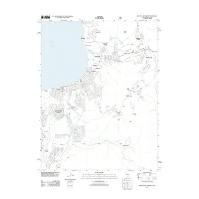 2012 South Lake Tahoe2012 Print · USGSThe south shore of Lake Tahoe in the early twenty-first century is a landscape of high-altitude resort life and dense mountain settlement. Trace the growth of Stateline and Al Tahoe or find recreation hubs like Heavenly Valley Ski Area and Lake Tahoe Airport.
 - 2015 Map of South Lake Tahoe, 2015 Print
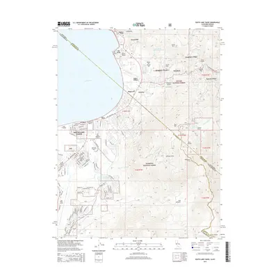 2015 South Lake Tahoe2015 Print · USGSThe south shore of Lake Tahoe in the mid-2010s shows the dense intersection of resort communities and high-altitude wilderness. Researchers can trace local development through the grids of Al Tahoe and Bijou or locate landmarks like the Happy Homestead Cemetery.
 - 2018 Map of South Lake Tahoe, 2018 Print
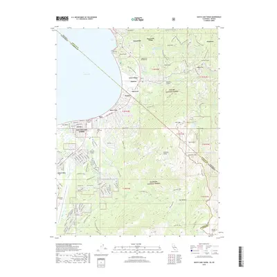 2018 South Lake Tahoe2018 Print · USGSSouth Lake Tahoe and the Nevada border are captured here in the late twenty-tens, showing the area's development and forest boundaries. Researchers can trace the layout of Stateline, find the Happy Homestead Cemetery, and follow the Tahoe Rim Trail through the high Sierras.
 - 2021 Map of South Lake Tahoe, 2021 Print
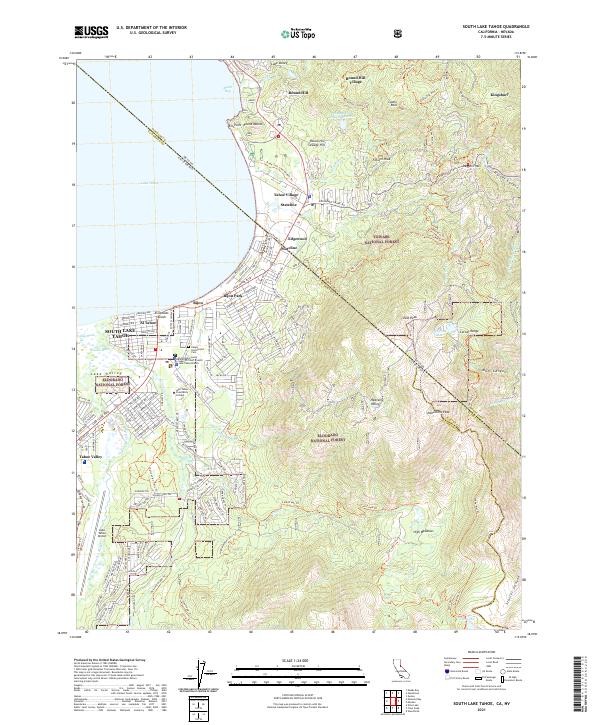 2021 South Lake Tahoe2021 Print · USGSThe high Sierras meet the developed shoreline of the South Shore in the 2020s, showing a landscape defined by tourism and wilderness. Researchers can trace the boundaries of Stateline and Bijou Park, find Happy Homestead Cem, or explore the trails around Monument Peak.
End of results
Showing maps 1-16 of 16
Frequently asked questions
- What are the different types of historical maps available for Kingsbury Village?
- What is the oldest map of Kingsbury Village?
- Where can I purchase historical maps of Kingsbury Village for my home or office?
- Where can I download high-res historical maps of Kingsbury Village?
- Are there historical topographic maps available for Kingsbury Village?
- Is there historical aerial imagery available for Kingsbury Village?
- Where are historical maps of Kingsbury Village sourced from?