
1955 Map of Bijou
USGS Topo · Published 1957About this map
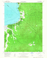
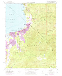
The south shore of Lake Tahoe during the mid-1950s reveals a region transitioning into a premier mountain destination. Dense clusters of development are concentrated around Stateline, Bijou Park, and Al Tahoe, reflecting the post-war growth of tourism and residential expansion along the California-Nevada border. This survey documents the infrastructure supporting this burgeoning community, including the Lake Tahoe Unified Sch and the 4H Club Camp (Univ of Nevada).
Find a feature on this map
48 named features on this map. Tap any name to fly to it.
Don’t see what you’re looking for? This feature index may not catch every label — zoom into the map to look around manually.
Map Details
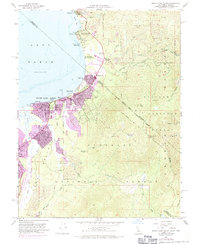
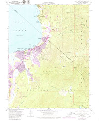
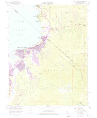
Editions of this 1955 Bijou Map
7 editions found
Other maps of this area

1889 · Pyramid Peak
USGS Topo · 1:125,000

1889 · Markleeville
USGS Topo · 1:125,000

1891 · Carson
USGS Topo · 1:125,000

1891 · Markleeville
USGS Topo · 1:125,000

1891 · Truckee
USGS Topo · 1:125,000

1891 · Pyramid Peak
USGS Topo · 1:125,000

1893 · Carson
USGS Topo · 1:125,000

1893 · Markleeville
USGS Topo · 1:125,000

1893 · Truckee
USGS Topo · 1:125,000

1895 · Pyramid Peak
USGS Topo · 1:125,000