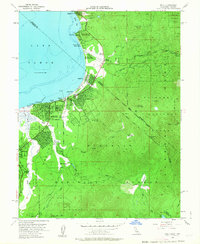
1955 Map of Bijou
USGS Topo · Published 1963About this map
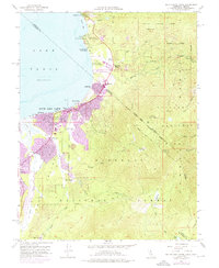
Lake Tahoe’s southeastern shore reveals a landscape in transition during the mid-1950s, where traditional settlements and new recreation hubs meet the high Sierra. The established communities of Bijou, Al Tahoe, and Tahoe Valley are shown alongside emerging landmarks like the Heavenly Valley Ski Lodge and the Lake Tahoe Unified Sch. A significant genealogy and local history marker is the Sierra House (Site), situated along Cold Creek, while the Happy Homestead Cemetery serves the growing population near Bijou Park. The map documents the critical state boundary at Stateline, separating El Dorado Co from Douglas Co. Higher elevations are dominated by the Toiyabe National Forest and Eldorado National Forest, featuring prominent peaks such as East Peak and Monument Peak. The drainage patterns of the Upper Truckee River and Trout Creek illustrate the natural hydrology before extensive modern lakeshore development.
Find a feature on this map
42 named features on this map. Tap any name to fly to it.
Don’t see what you’re looking for? This feature index may not catch every label — zoom into the map to look around manually.
Map Details
Editions of this 1955 Bijou Map
7 editions found

Other maps of this area

1889 · Pyramid Peak
USGS Topo · 1:125,000

1889 · Markleeville
USGS Topo · 1:125,000

1891 · Carson
USGS Topo · 1:125,000

1891 · Markleeville
USGS Topo · 1:125,000

1891 · Truckee
USGS Topo · 1:125,000

1891 · Pyramid Peak
USGS Topo · 1:125,000

1893 · Carson
USGS Topo · 1:125,000

1893 · Markleeville
USGS Topo · 1:125,000

1893 · Truckee
USGS Topo · 1:125,000

1895 · Pyramid Peak
USGS Topo · 1:125,000