Loading...
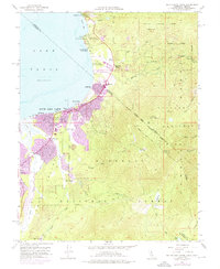
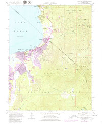
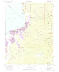
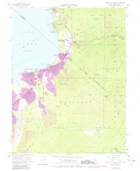
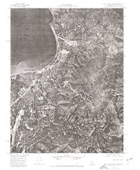
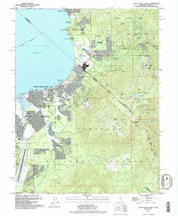
Loading map...1955 Map of South Lake Tahoe
USGS Topo · Published 1976About this map
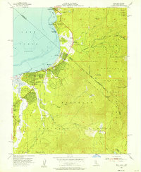
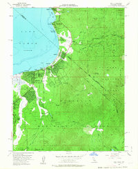
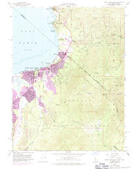
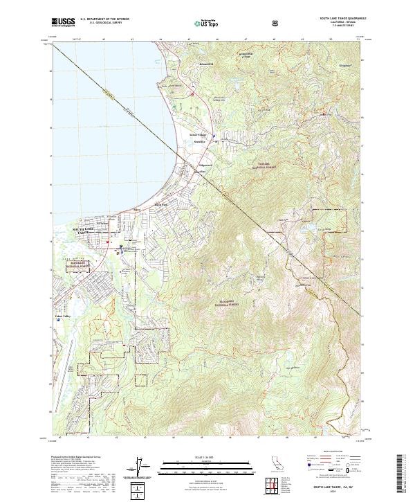
South Lake Tahoe and the California-Nevada border at Stateline reflect a period of significant mid-century development, where urban expansion is noted alongside earlier mountain landmarks. The landscape is defined by the proximity of Lake Tahoe to the high peaks of the Toiyabe National Forest and Eldorado National Forest. Cultural and community hubs like the Drive-in Theater, Happy Homestead Cemetery, and Barton Memorial Hospital provide specific anchor points for local history research.
Find a feature on this map
61 named features on this map. Tap any name to fly to it.
Don’t see what you’re looking for? This feature index may not catch every label — zoom into the map to look around manually.
Map Details
Date Portrayed1955
Date Published1976
PublisherU.S. Geological Survey
Map TypeTopographic
Scale1:24,000
Physical Dimensions22 x 26.9 inches
Editions of this 1955 South Lake Tahoe Map
7 editions found
Historical Maps of South Lake Tahoe Through Time
7 maps found
Featured Locations
Source Details
SourceU.S. Geological Survey
CopyrightPublic Domain